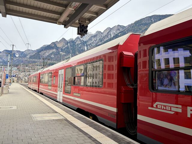
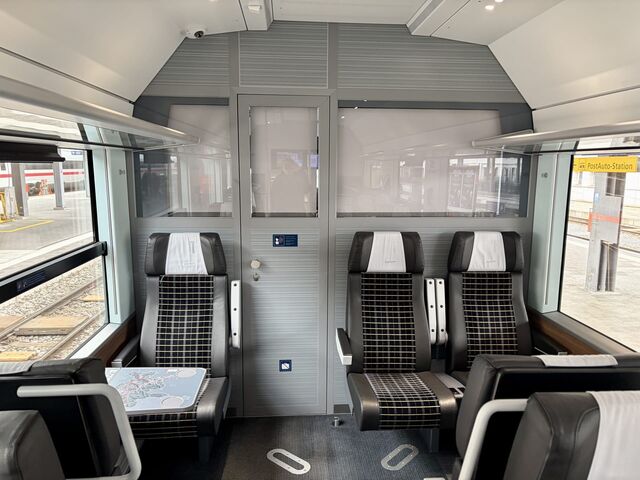
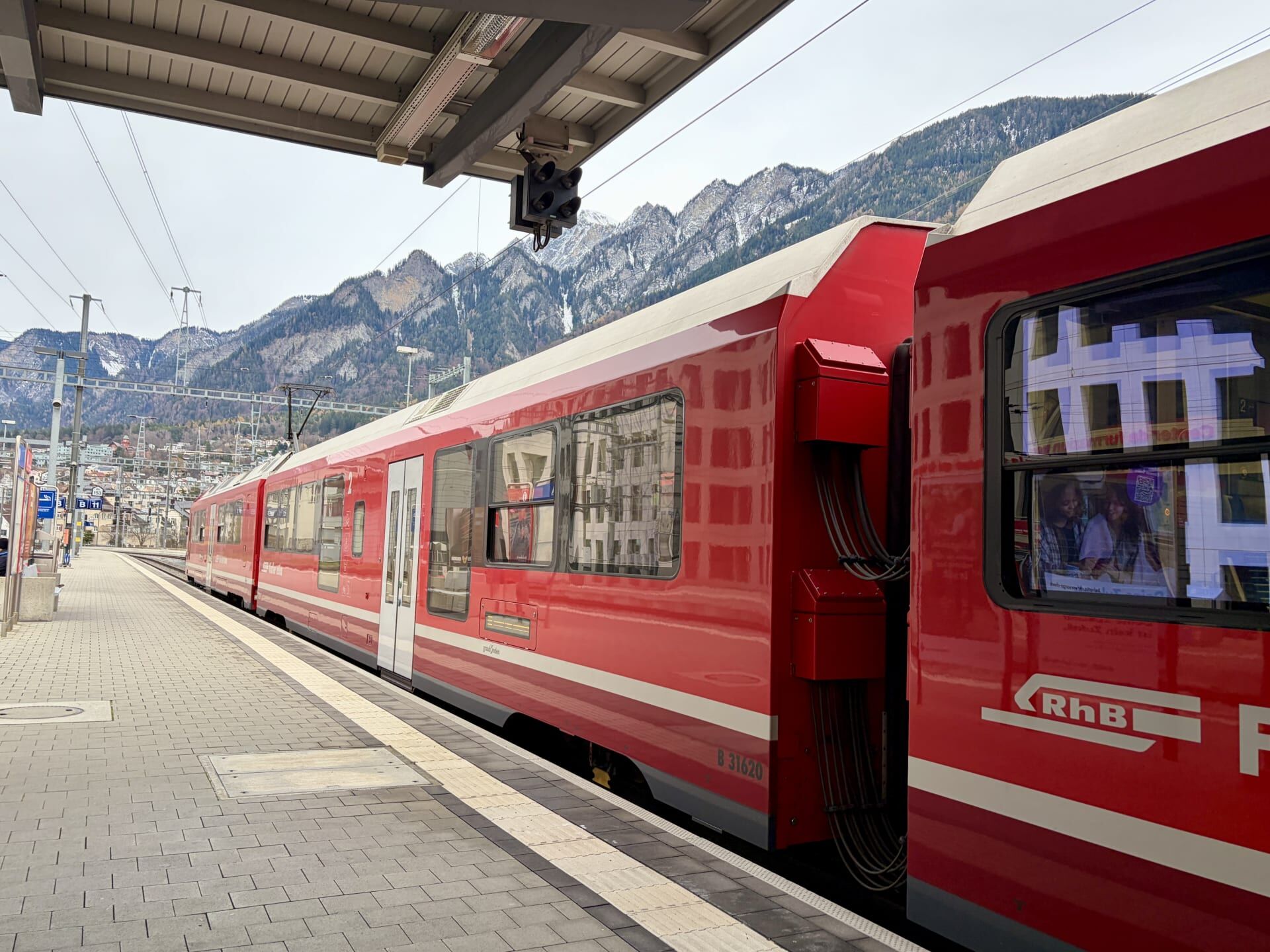
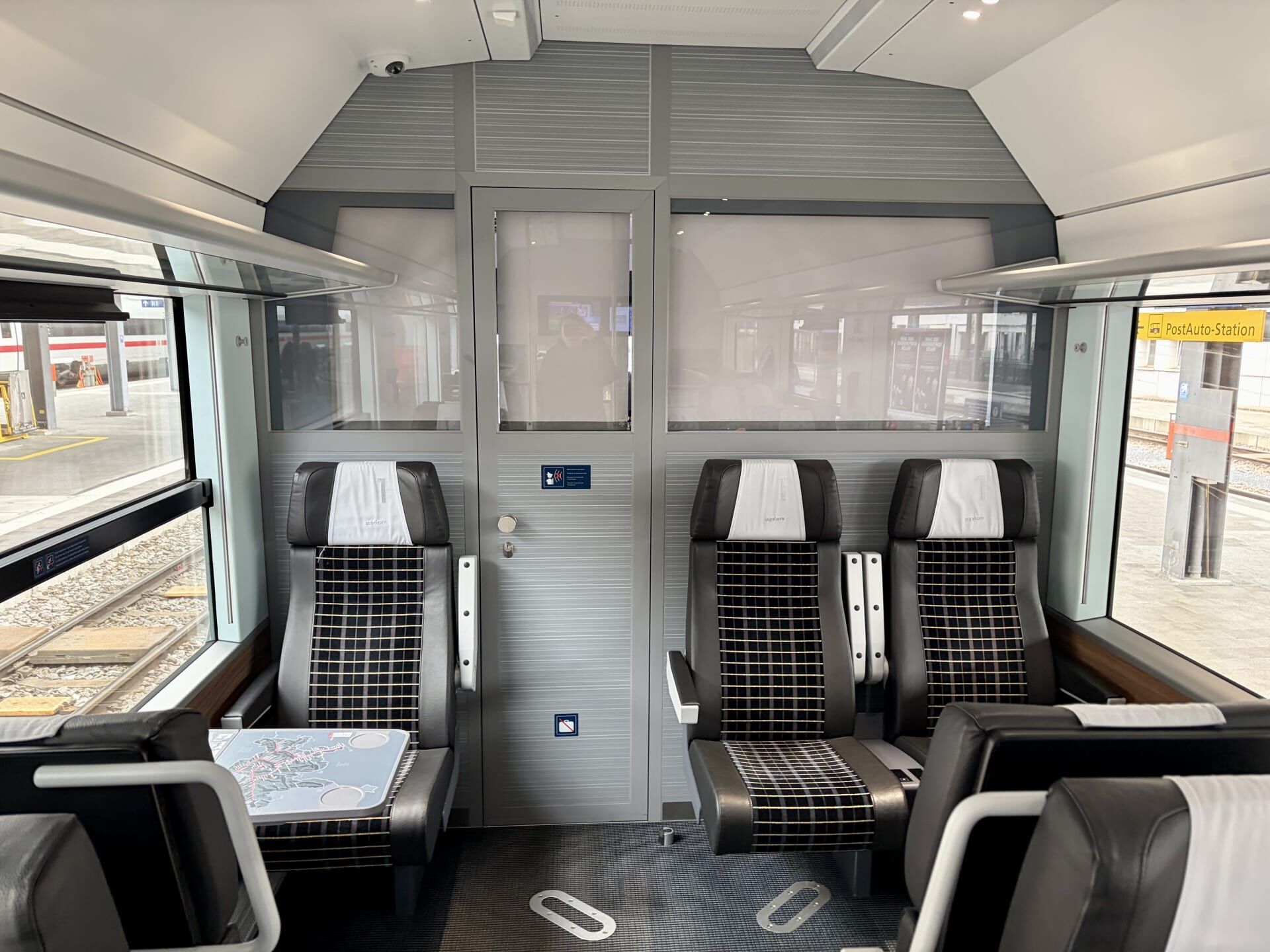
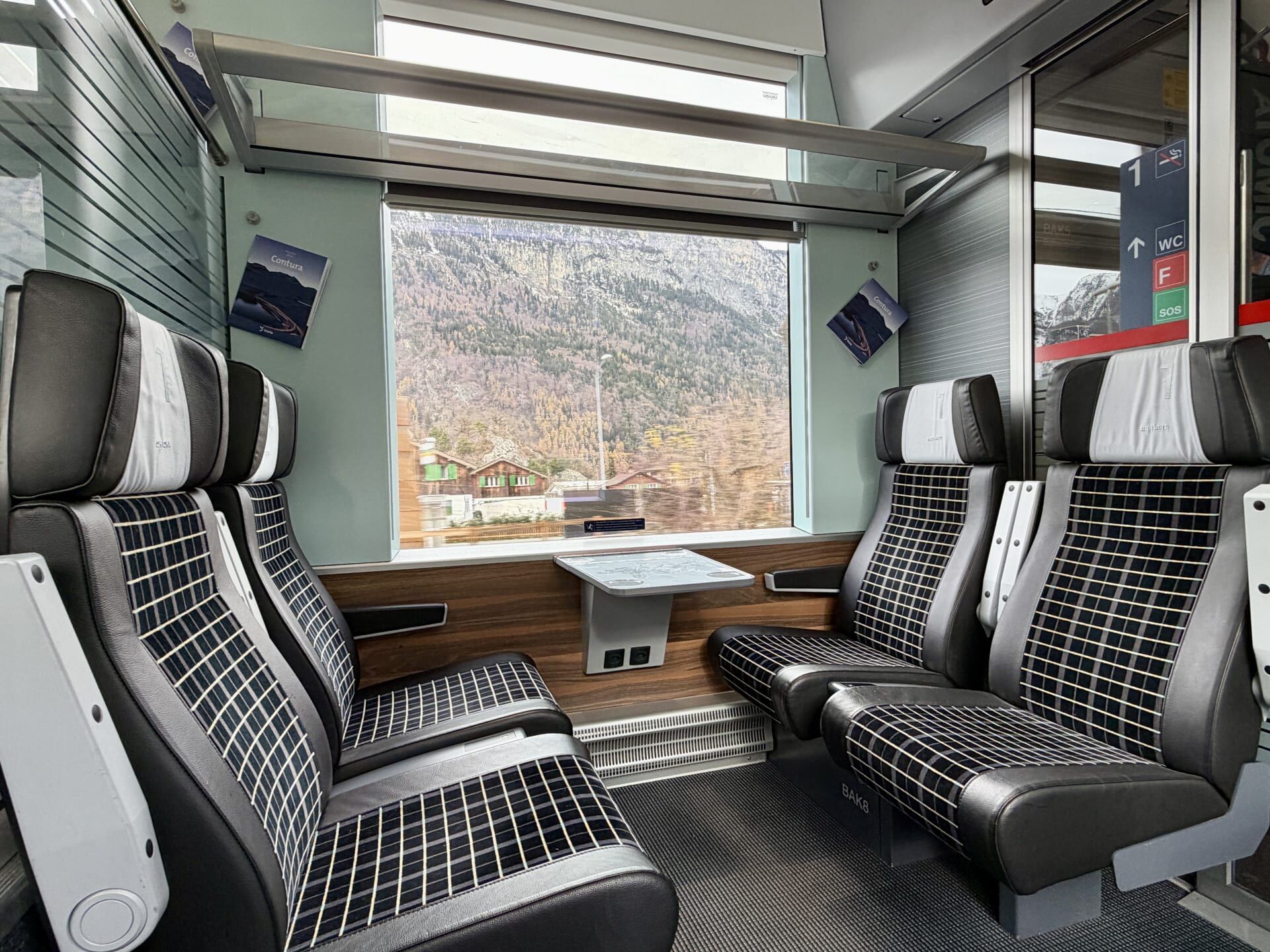
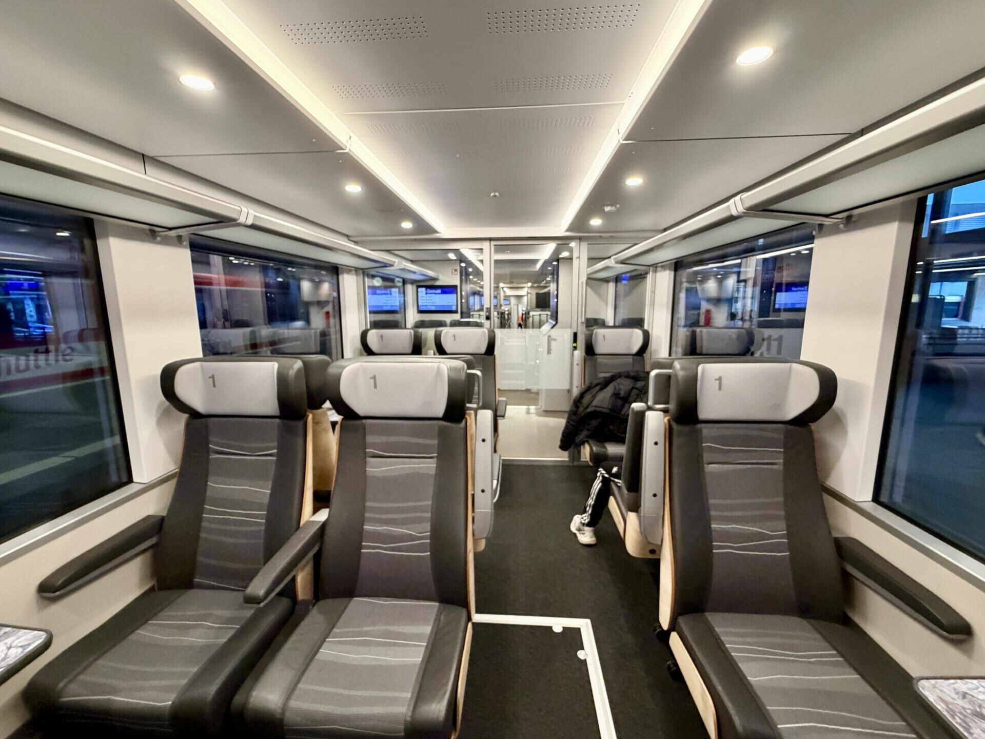
The Glacier Express is a famous tourist train that winds its way through the Swiss Alps between the alpine resort towns of St Moritz and Zermatt. I travelled this route in December 2025, but did so via regular trains rather than aboard the Glacier Express itself (the famous panoramic train). My journey required four changes of trains: in Chur, Disentis/Mustér, Andermatt, and Visp. In contrast to the busy tourist train, I was able to enjoy empty first-class carriages on my journey, as well as the flexibility to alight along the way and rejoin a later train whenever I wished. The journey between St Moritz and Zermatt took just over eight hours, with the train travelling across 291 bridges on its 291 kilometre journey!1 For anyone planning to take this trip, I recommend (as always) sitting in either the front or rear carriage so that you can capture sweeping shots of the train winding around curves, against the backdrop of the spectacular mountain scenery and alpine villages.
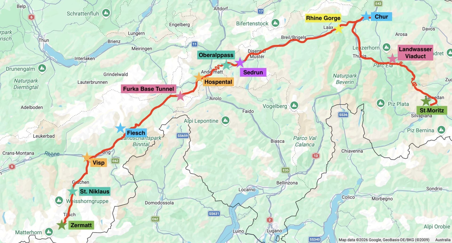
The Glacier Express takes its name from the Rhône Glacier, which the train’s original route once passed close to. However, heavy snowfall and the risk of avalanches on the Furka Pass meant that the train could only run during the summer months.2 The opening of the Furka Base Tunnel in 1982 allowed the Glacier Express to operate year-round, but the trade-off was that the train no longer passes the Rhône Glacier, having therefore lost the very sight that inspired its name (although in summer, it is still possible to ride the Furka Steam Railway along the old historic line).
St Moritz to Chur
The first part of the journey took close to two hours as we travelled over the tracks of the Albula Railway, which also forms part of the route of Switzerland’s famous Bernina Express. I travelled this section of track between St Moritz and Chur the previous day and you can read about my journey here.
Chur to Disentis
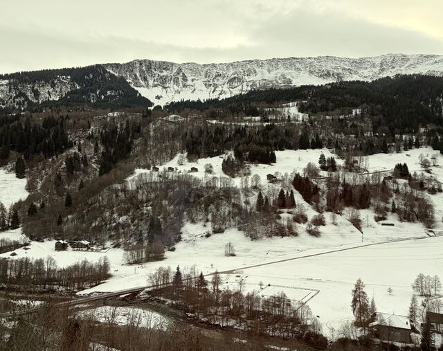
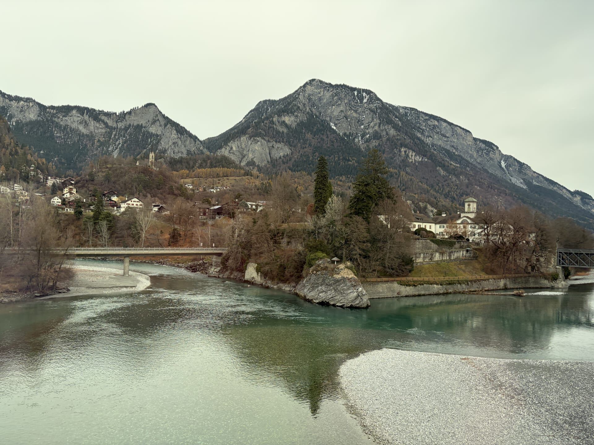
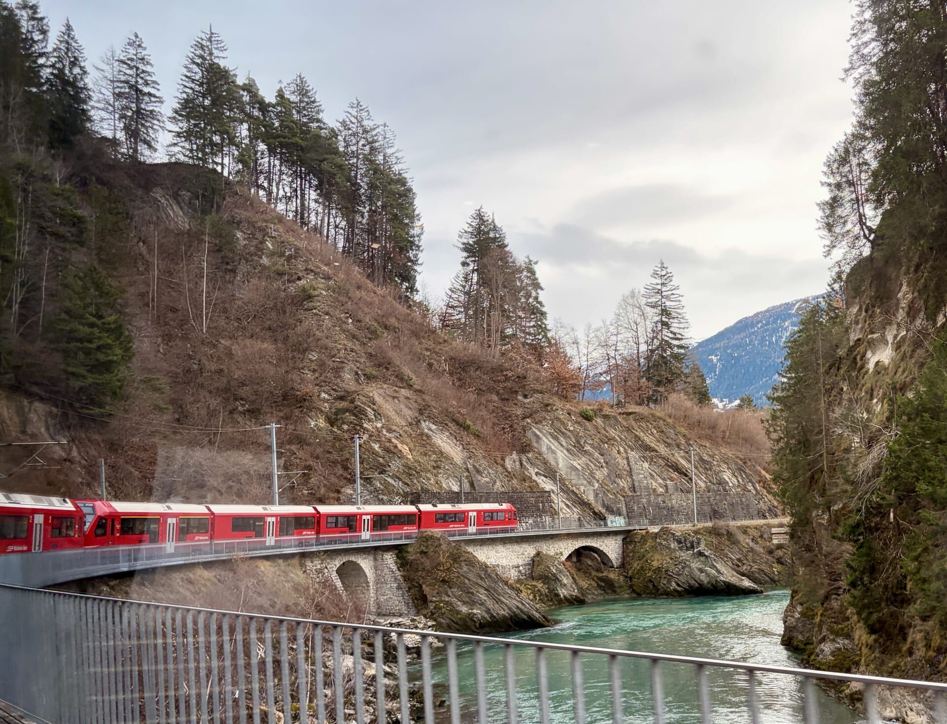
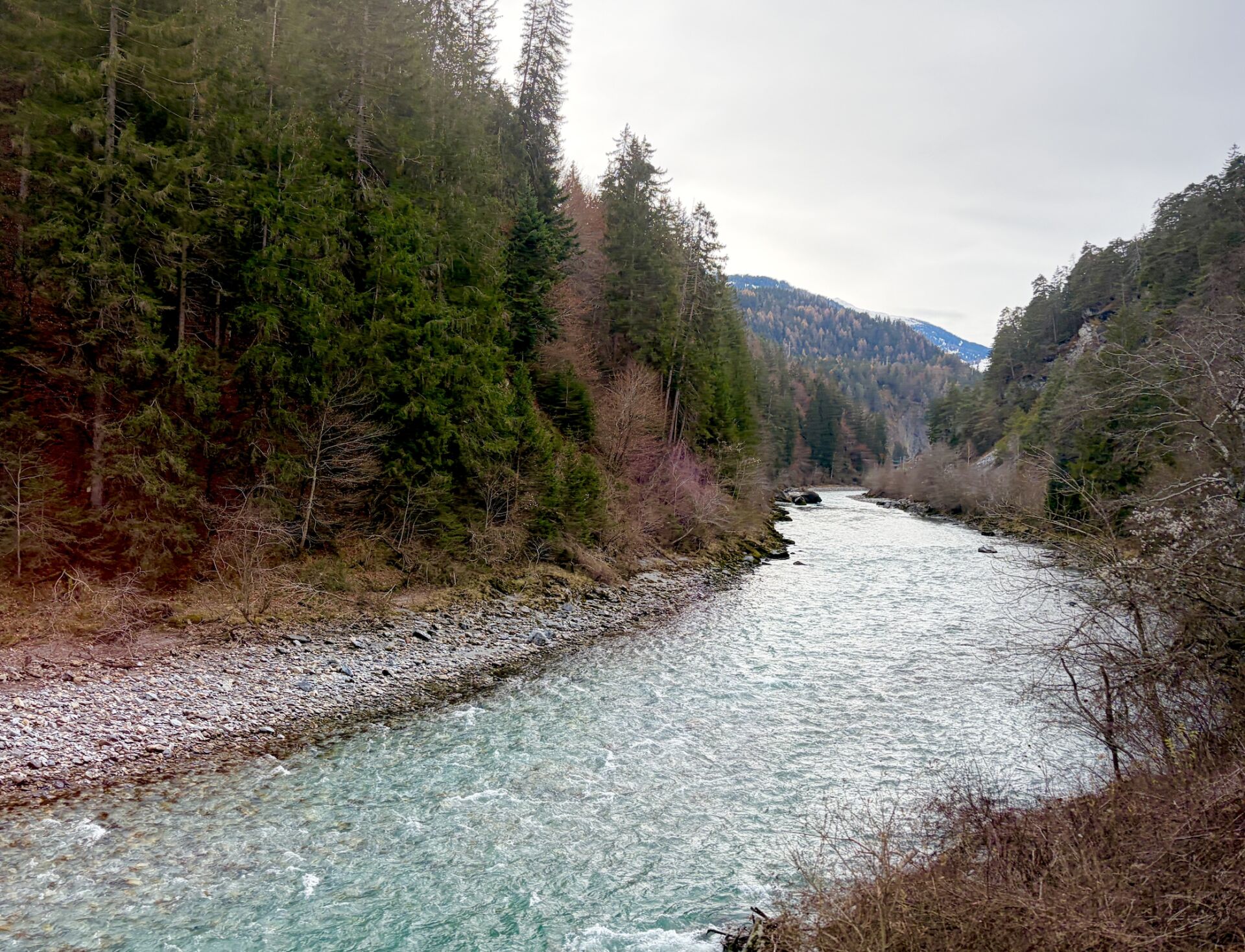
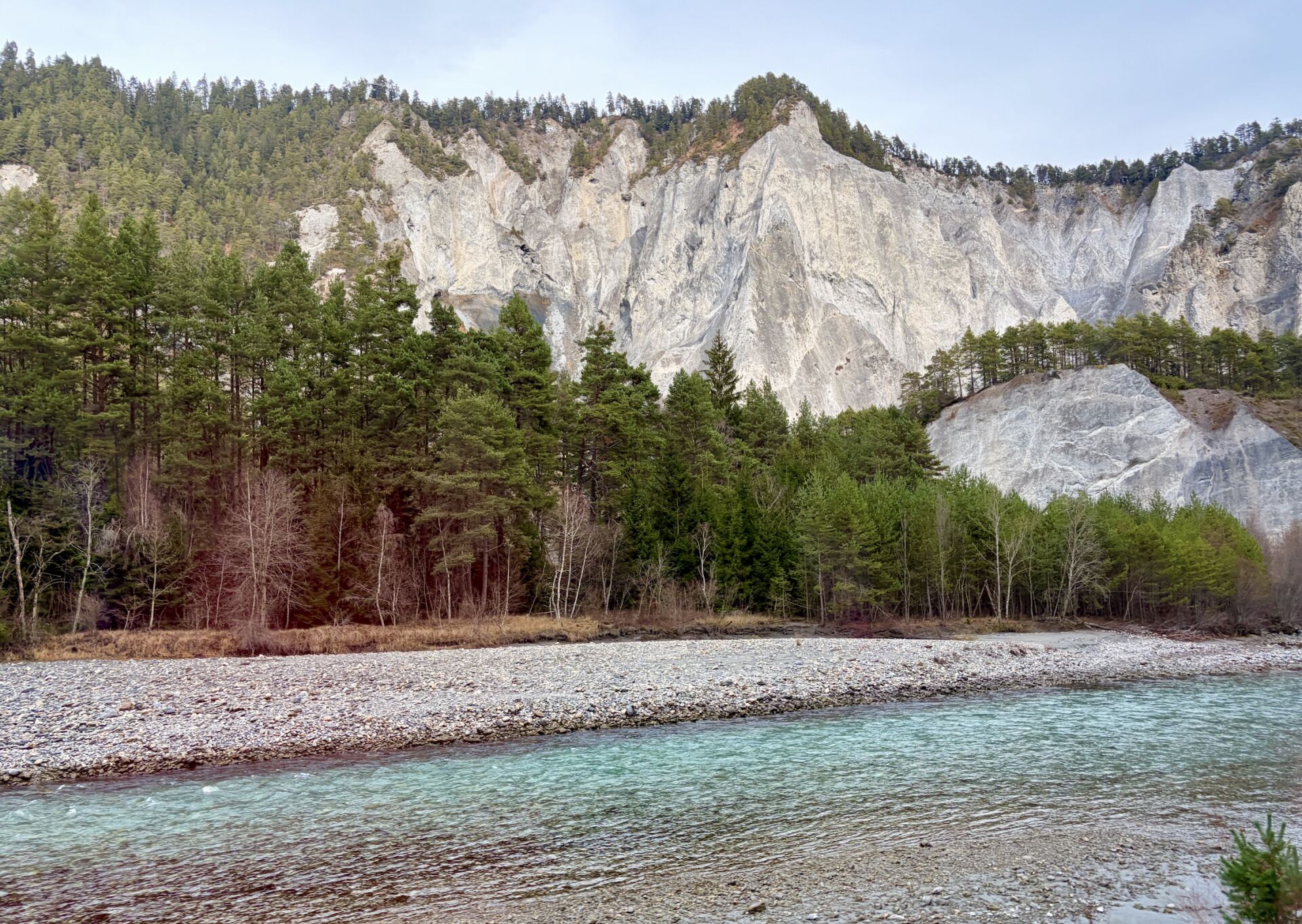
After spending the night in Chur, Switzerland’s oldest town, I boarded my next train, which began its journey by travelling alongside the Rhine Gorge. Formed in prehistoric times by a massive landslide,3 the gorge is characterised by towering rocky cliffs that stretch along the railway line. It is known as ‘the Grand Canyon of Switzerland’.4
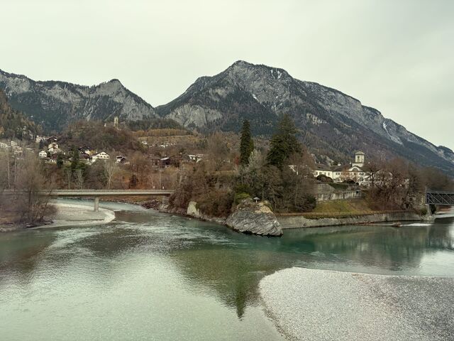
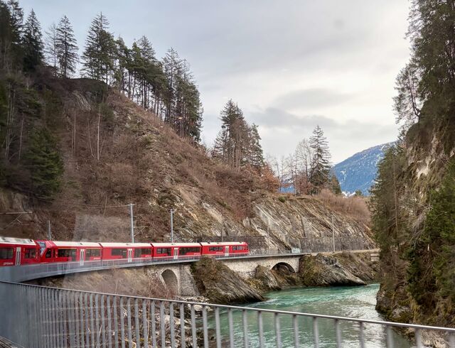
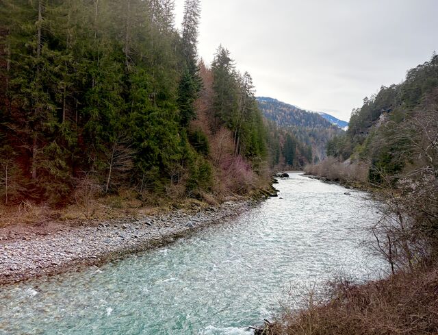
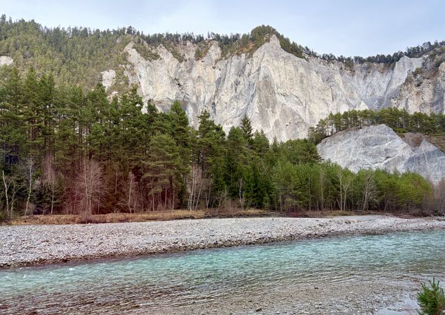
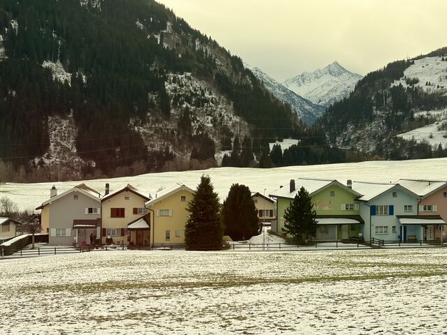
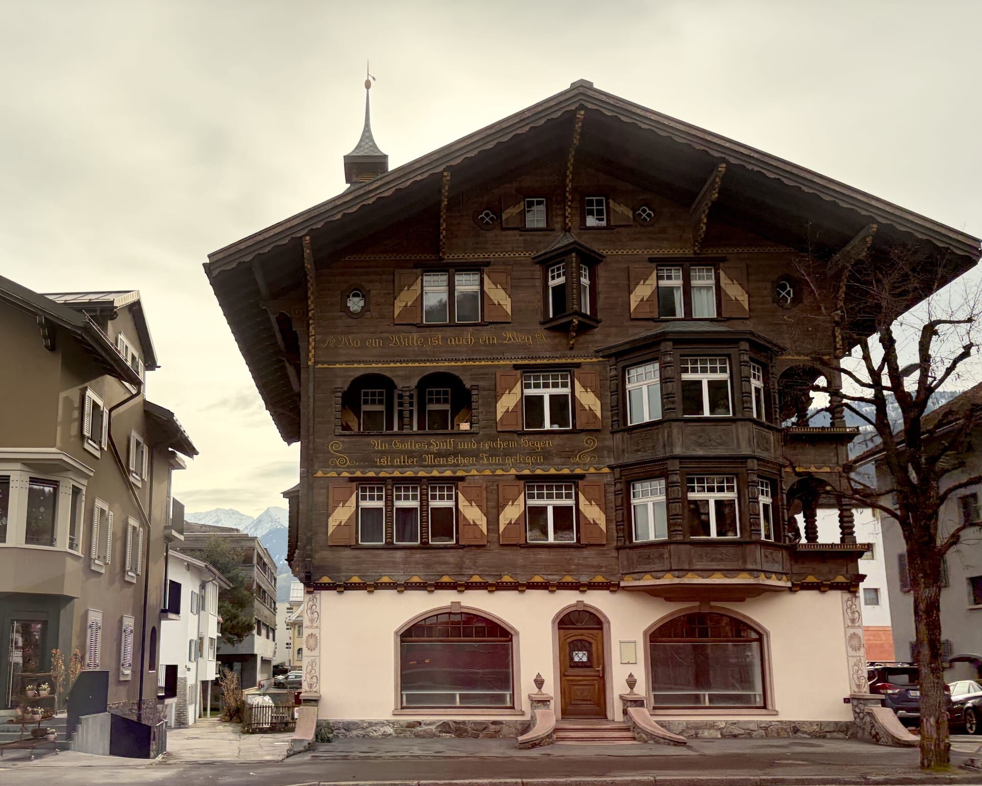
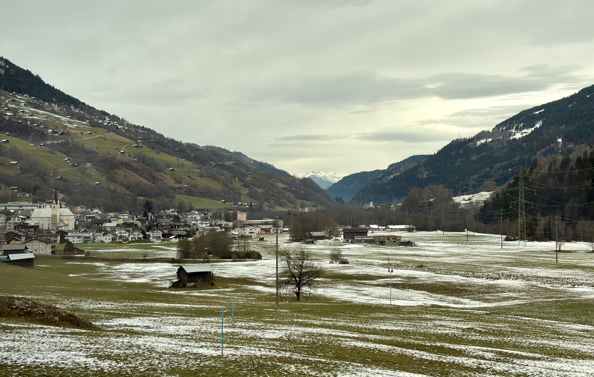
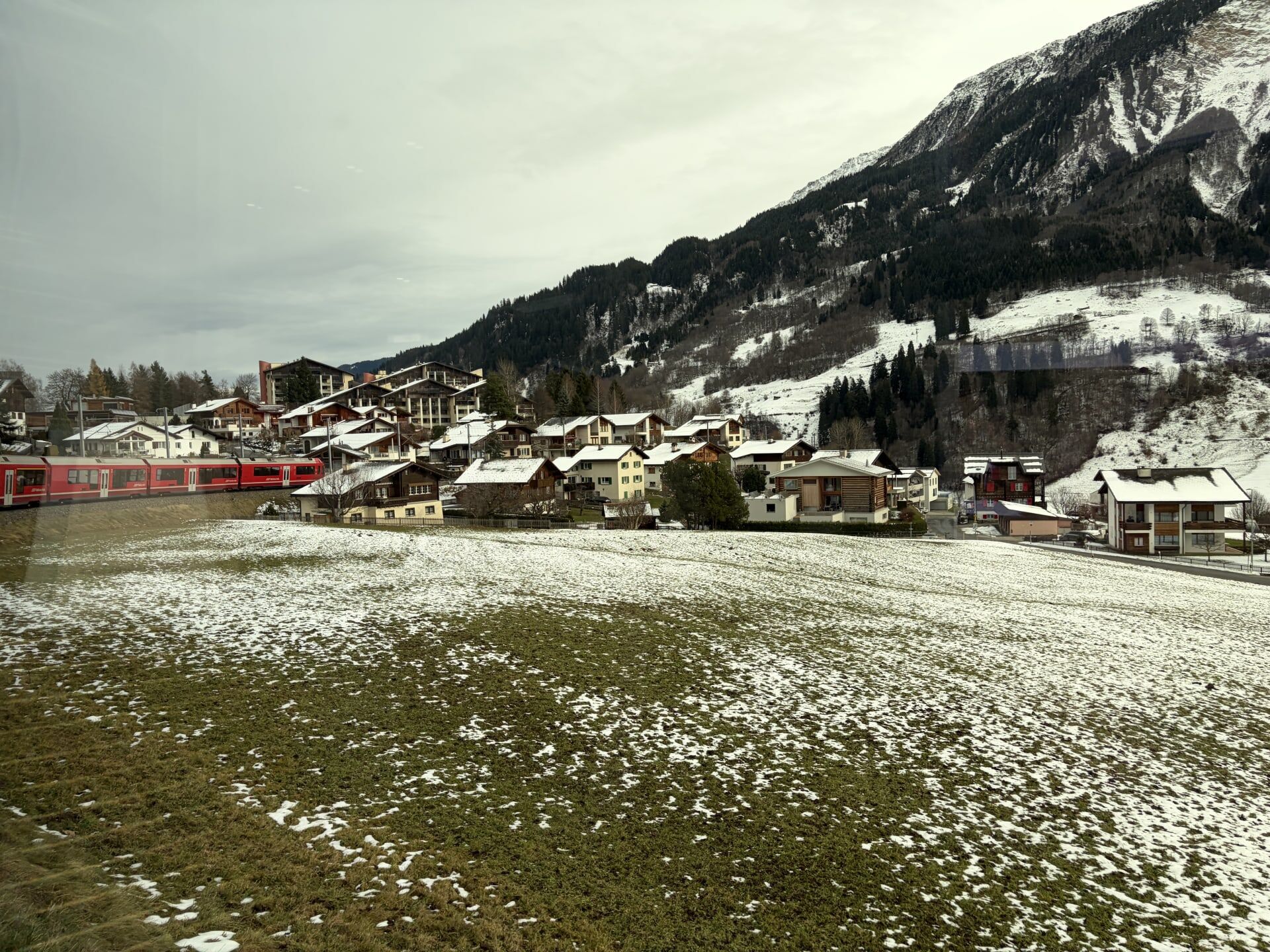
Many of the small villages that we passed in this section of the route have bilingual German-Romansh names (Romansh being the language that is spoken predominantly in the Swiss canton of Grisons/Graubünden). One notable site en route was the town of Ilanz. My guidebook informed me that Ilanz is the start point of one of the best stretches of river in Europe for white water rafting.5
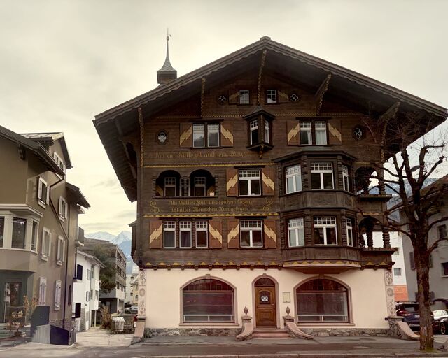
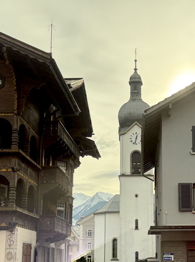
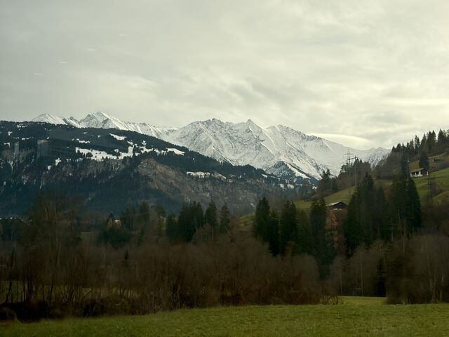
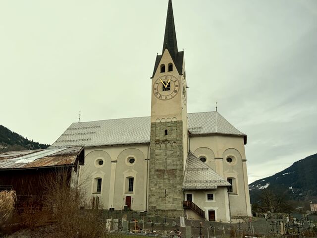
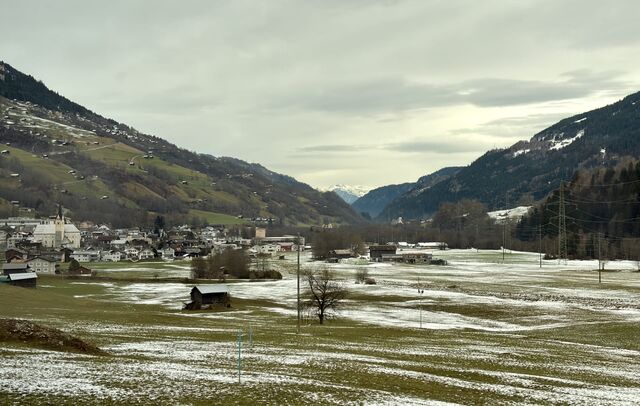
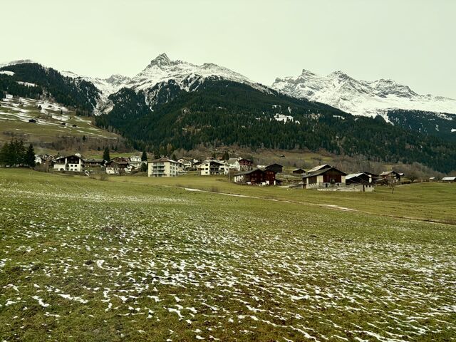
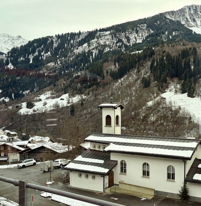
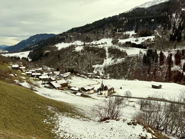
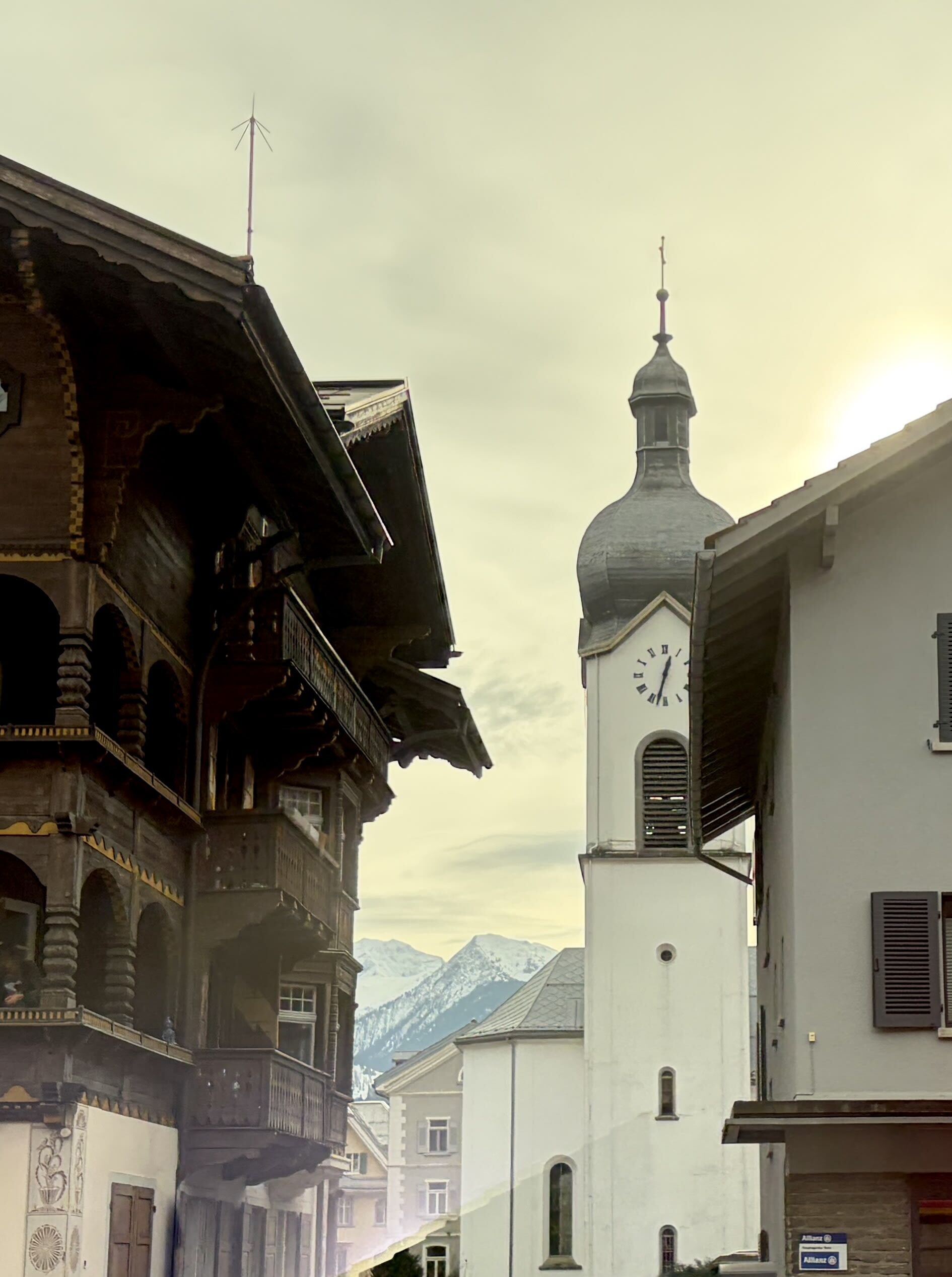
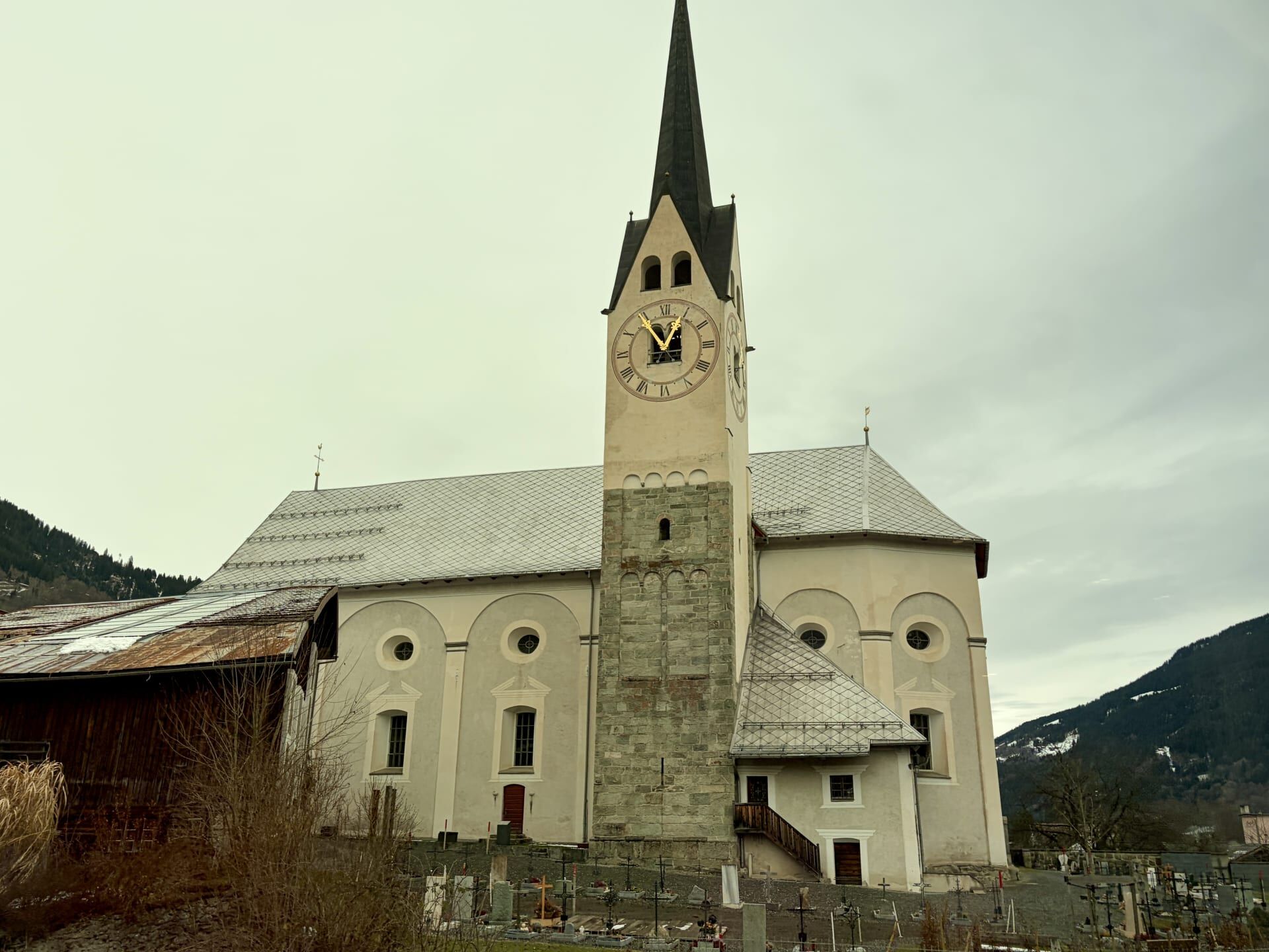
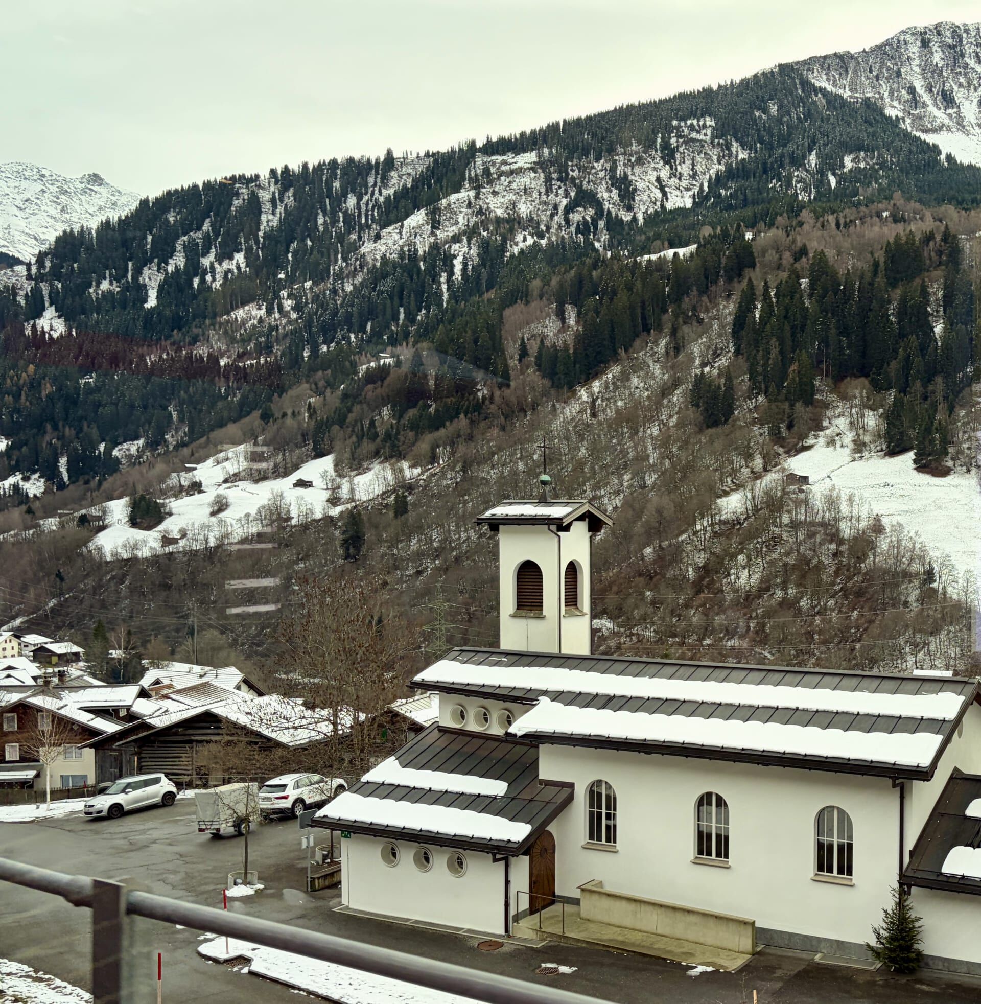
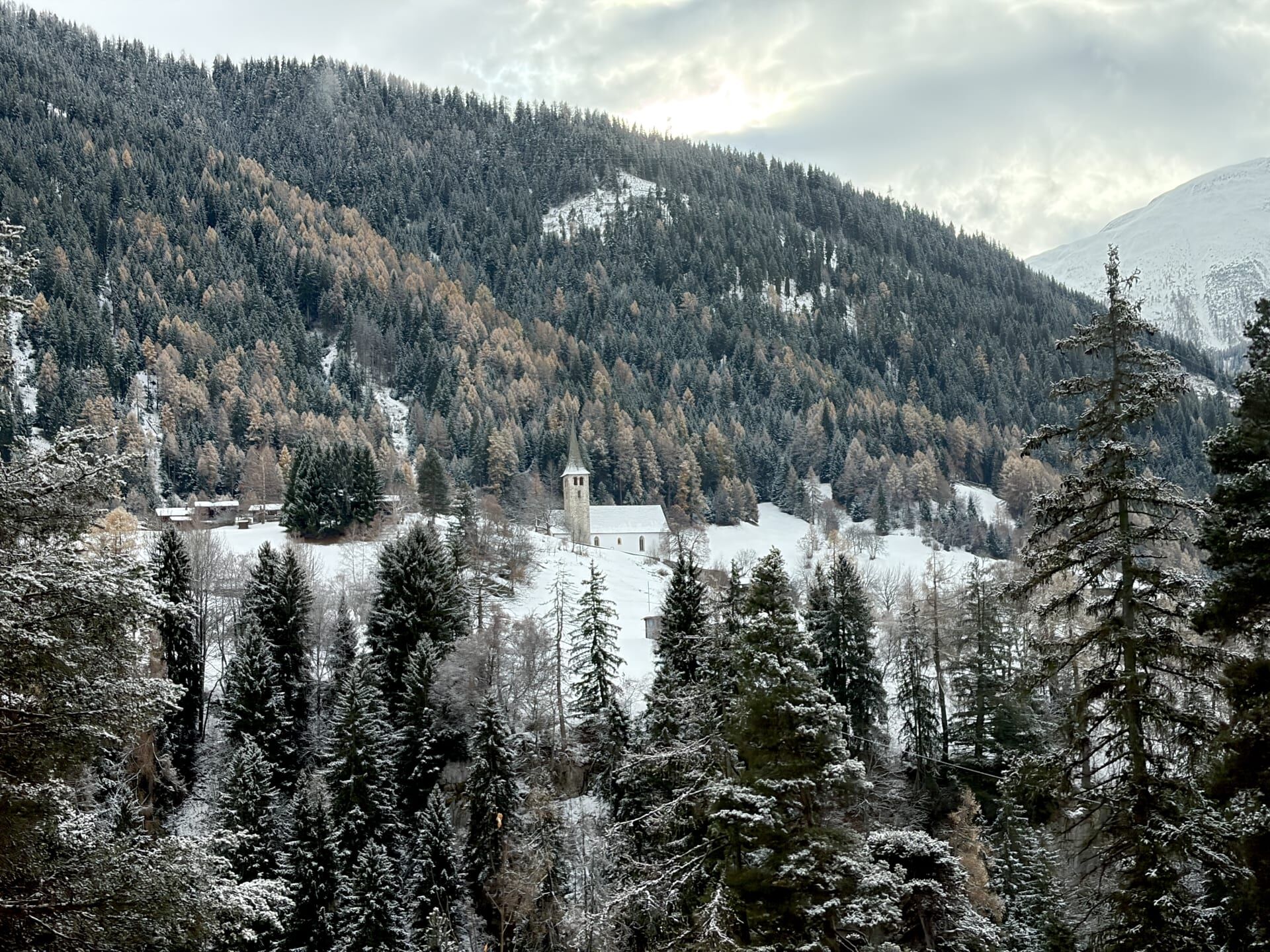
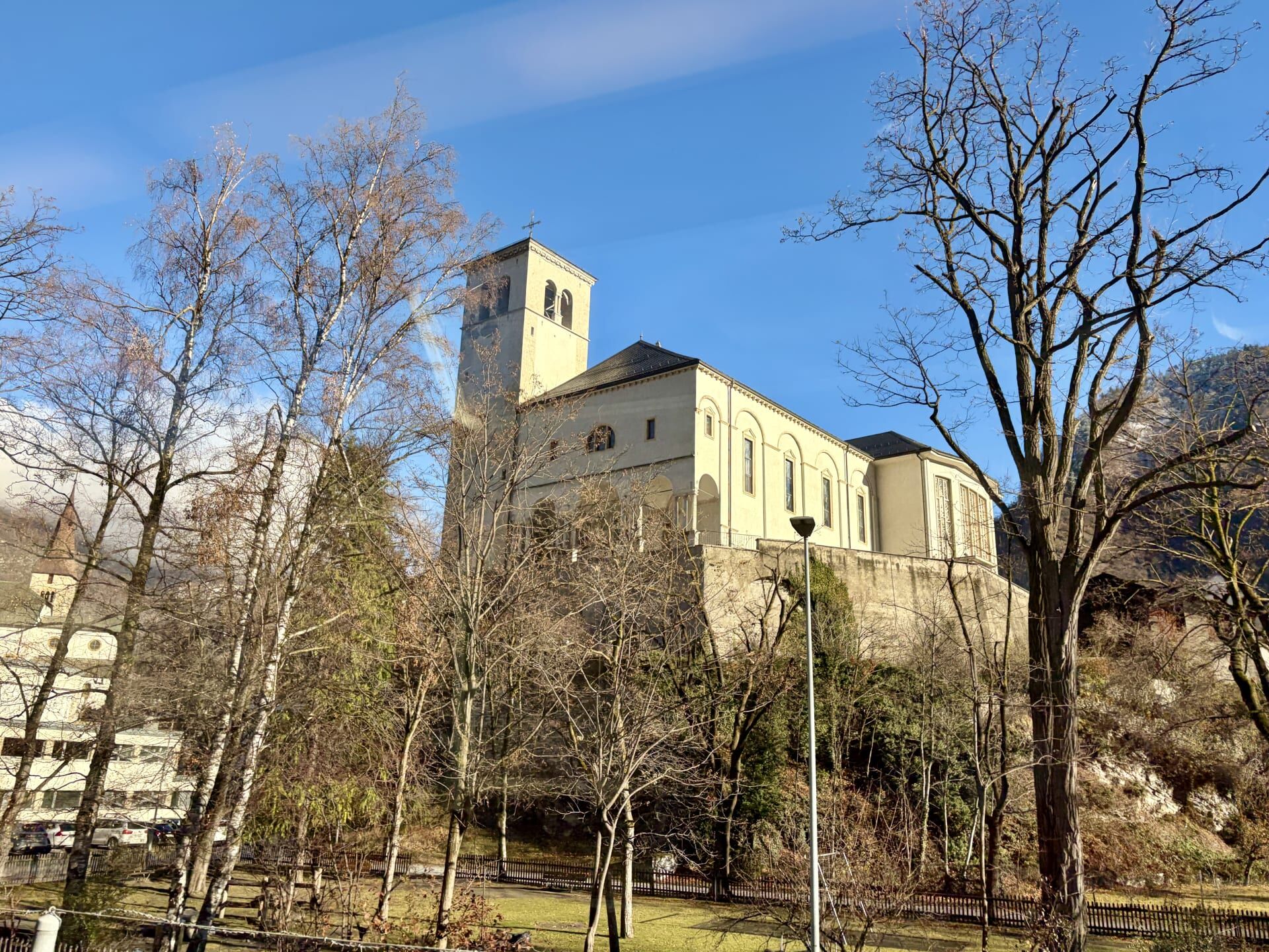
As pictured below, we also passed numerous churches, including St Lucius Chapel in the tiny mountain hamlet of Disla, which has a population of approximately 90 people. The unique octagonal chapel was built in 1704 by the Capuchin Monks who looked after the parish, with the chapel’s design attributable to the monks’ Italian origin.6
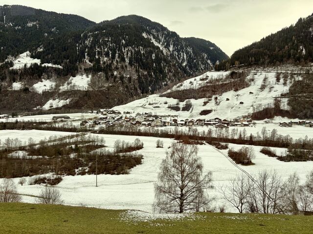
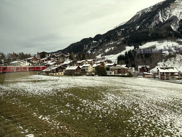
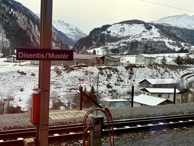
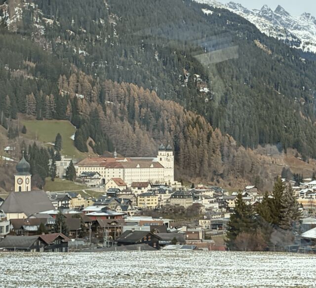
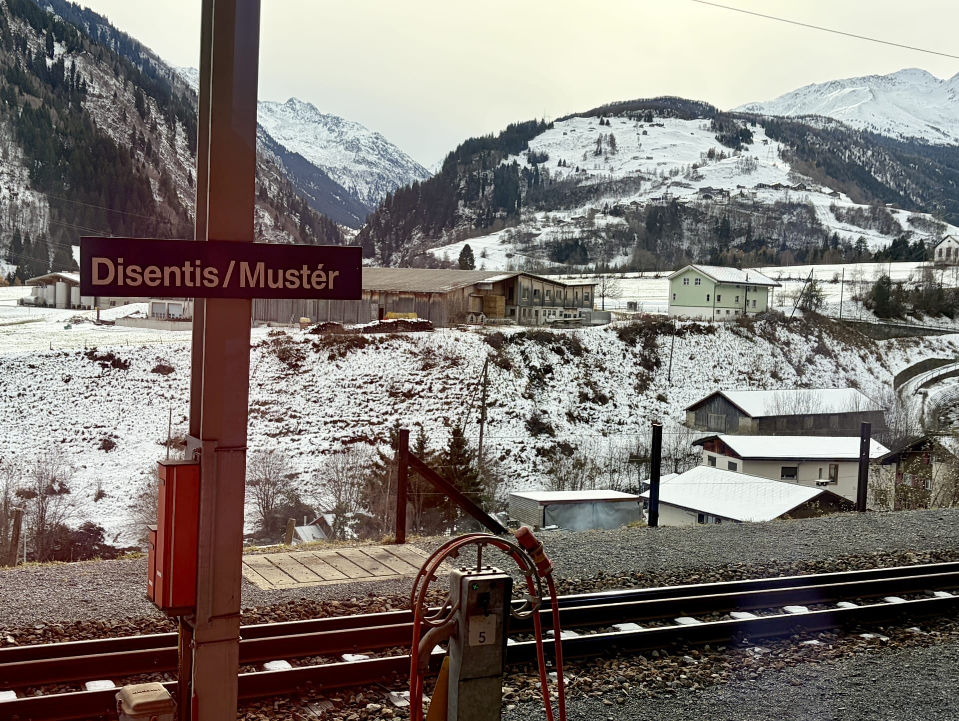
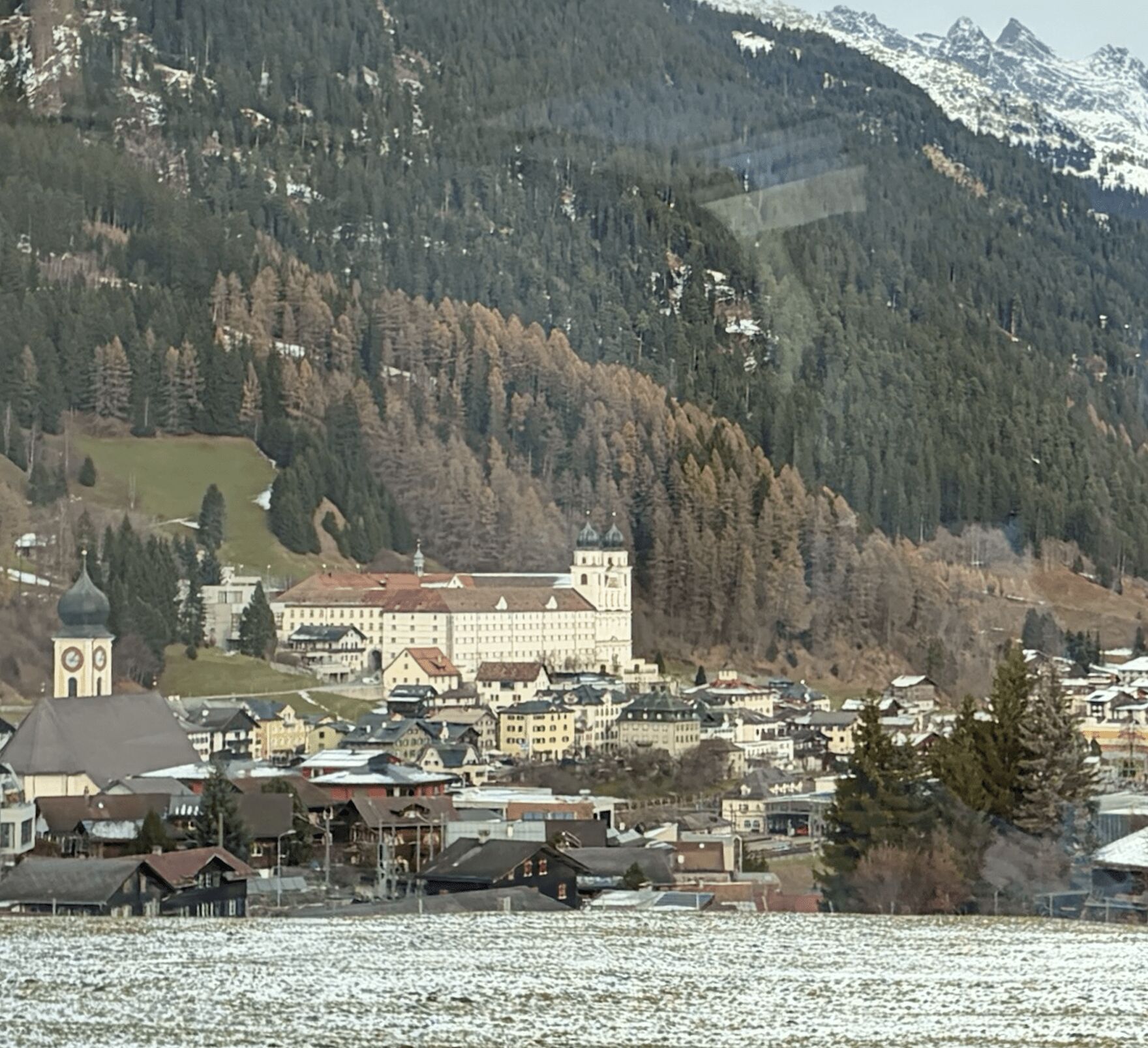
Before long, we pulled into the village of Disentis/Mustér (Disentis being its German name, and Mustér its name in Romansh), marking the end of the section of track operated by the Rhaetian Railway. My guidebook describes Disentis as a fair-sized town with some pleasant inns and very good walks.7 The town is dominated by the great Benedictine monastery of St Martin, founded in approximately 700 AD by an Irish monk.8
Disentis to Andermatt
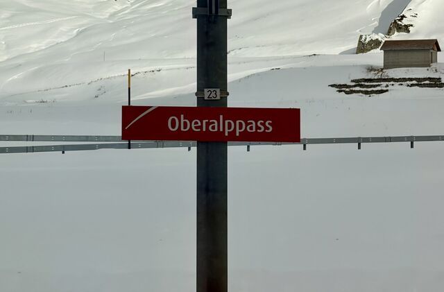
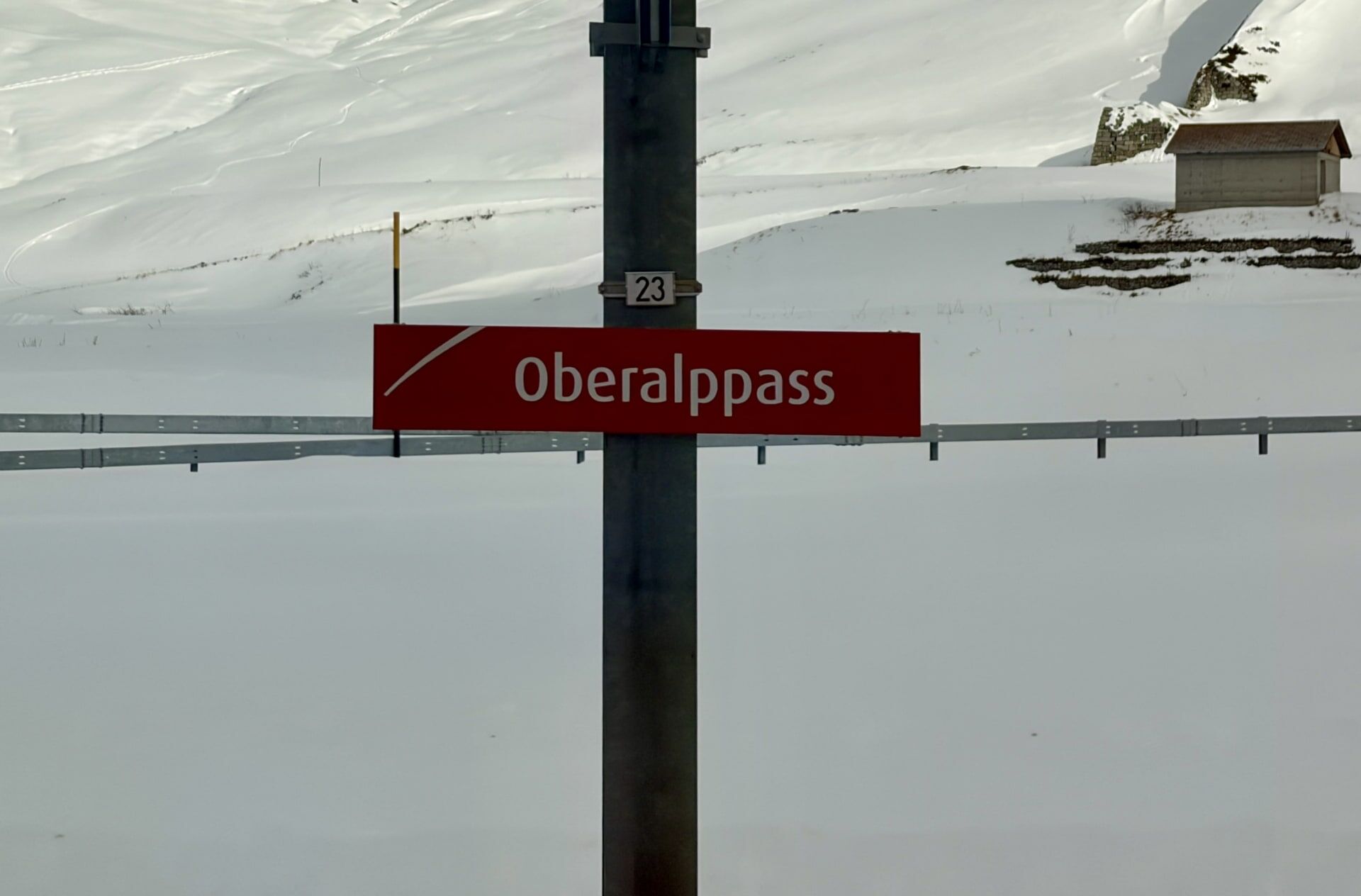
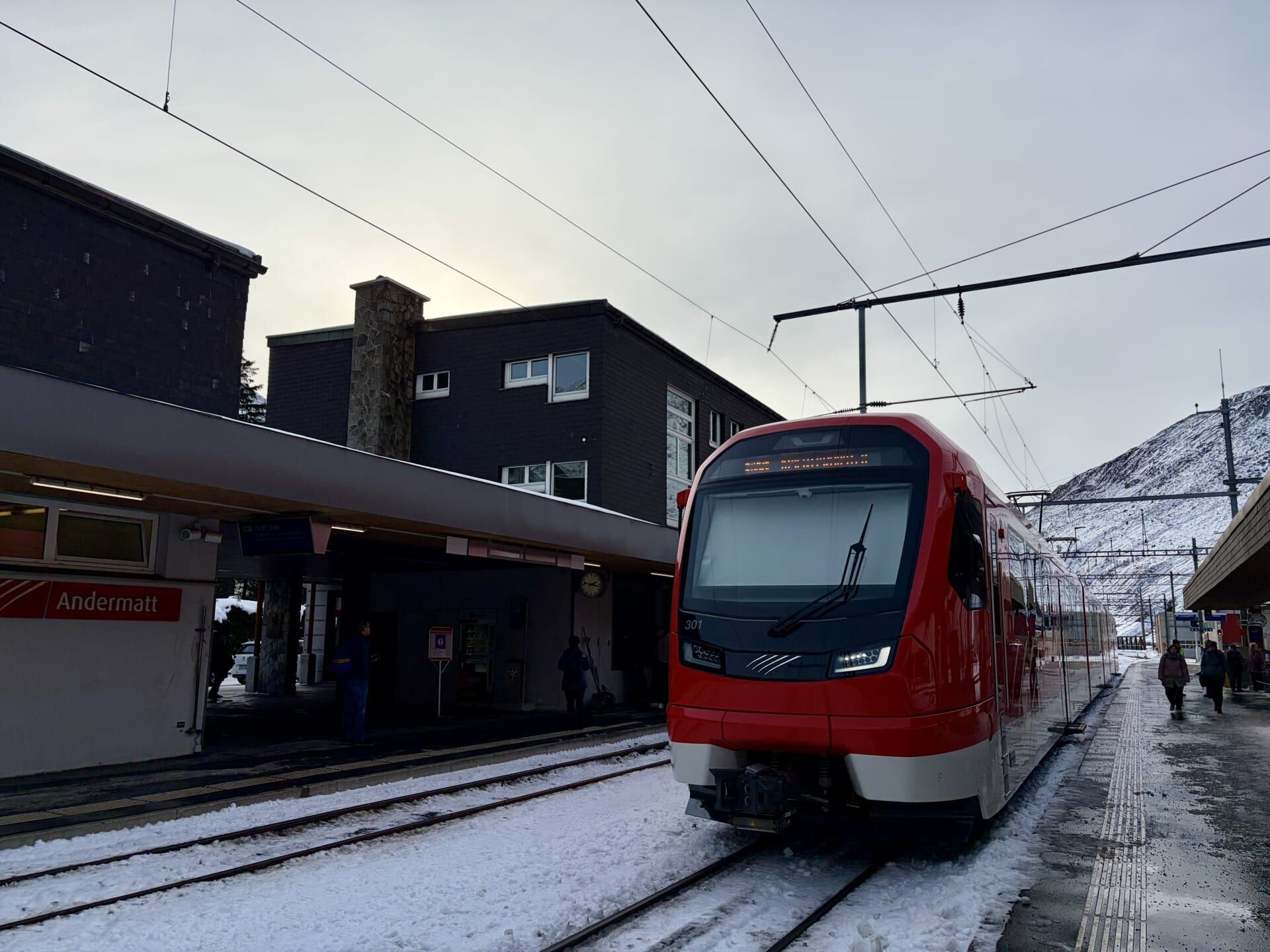
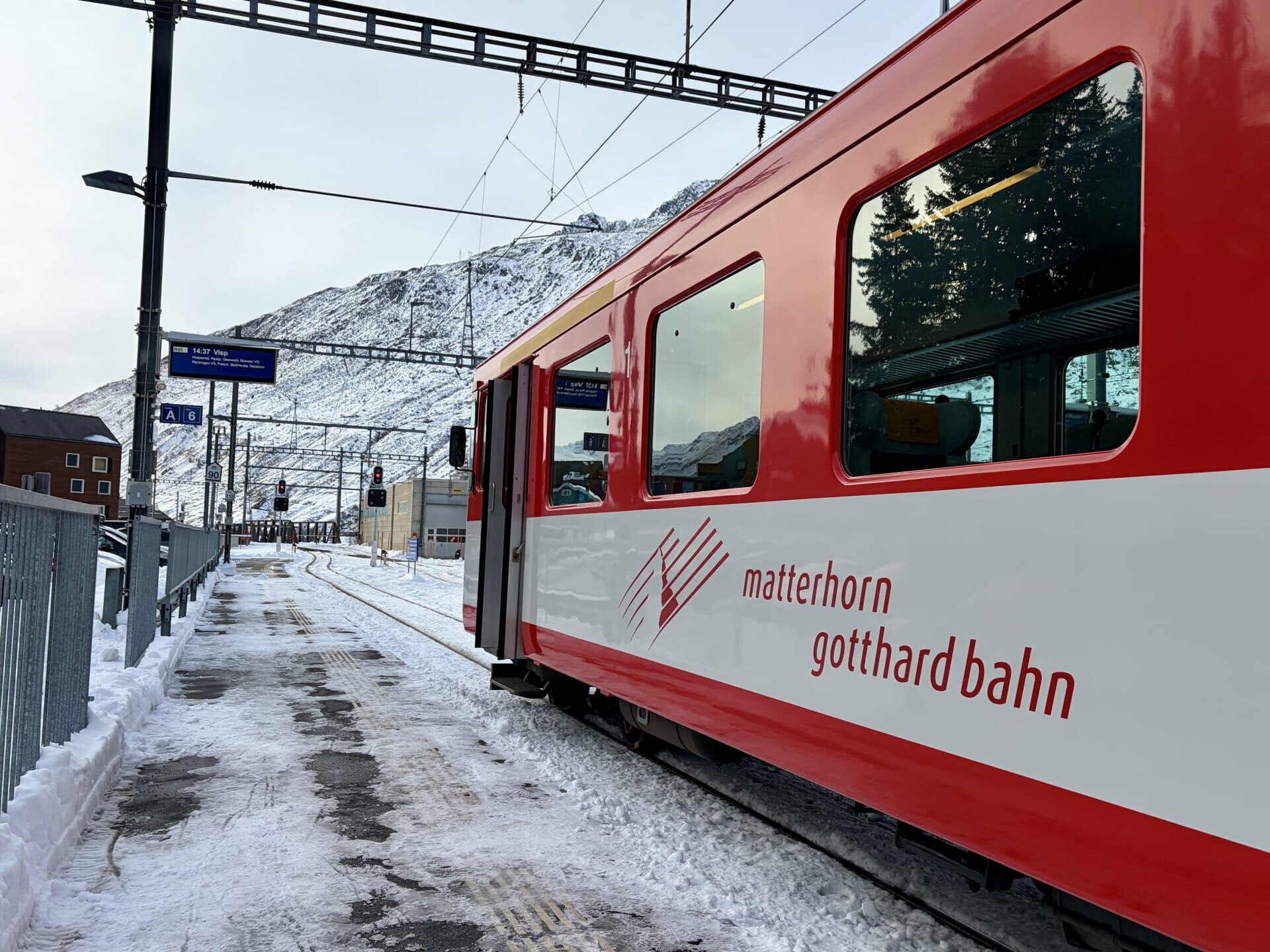
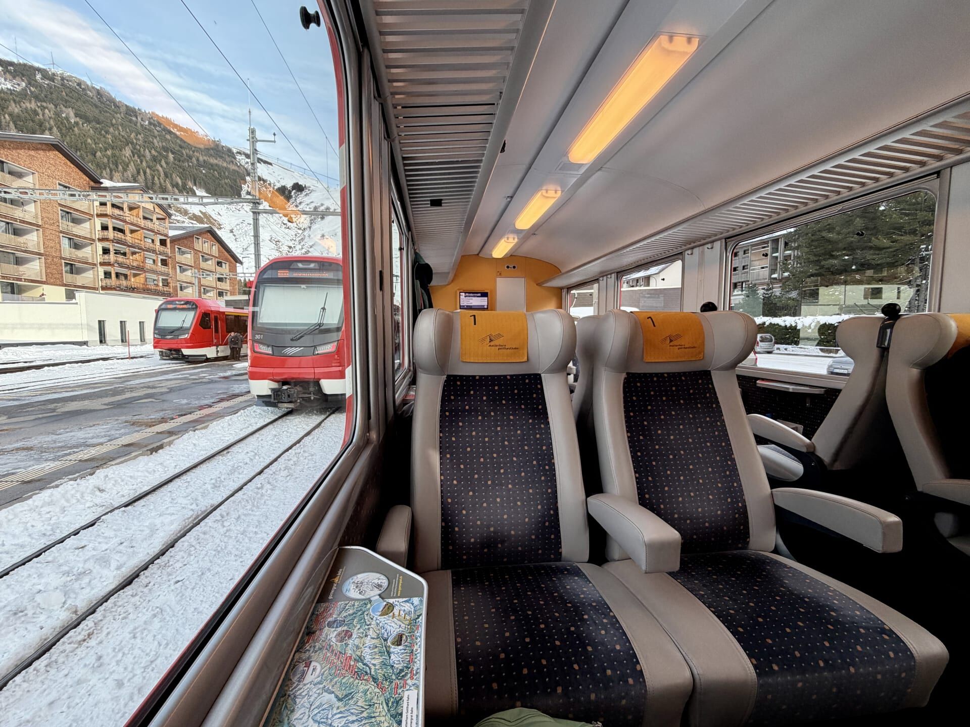
From Disentis, the railway is operated by the Matterhorn Gotthard Bahn. Before departing, a cogwheel locomotive is attached to the train, allowing it to complete the steep climb up to the Oberalp Pass which, at 2033 metres above sea level, marks the highest point along the Glacier Express route.9
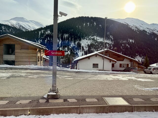
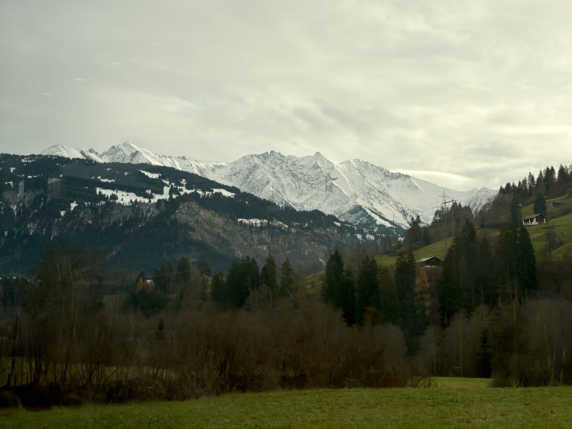
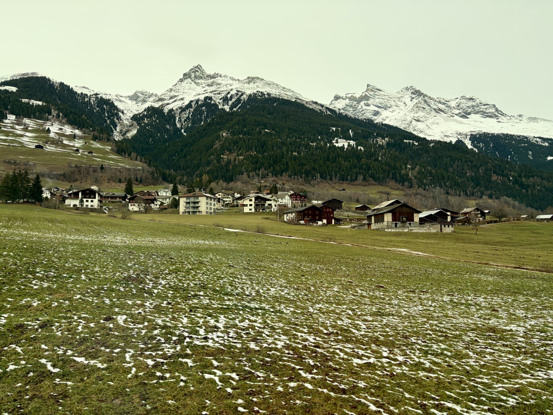
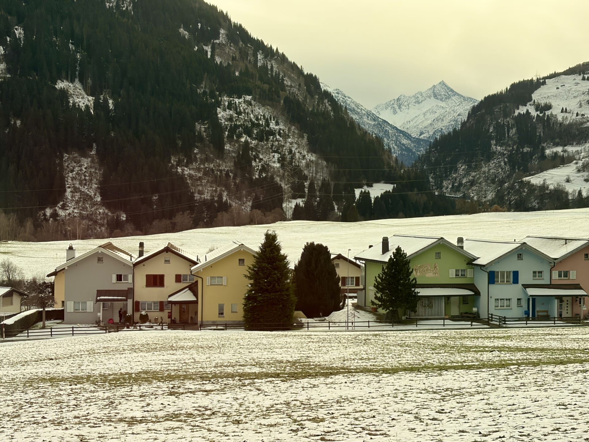
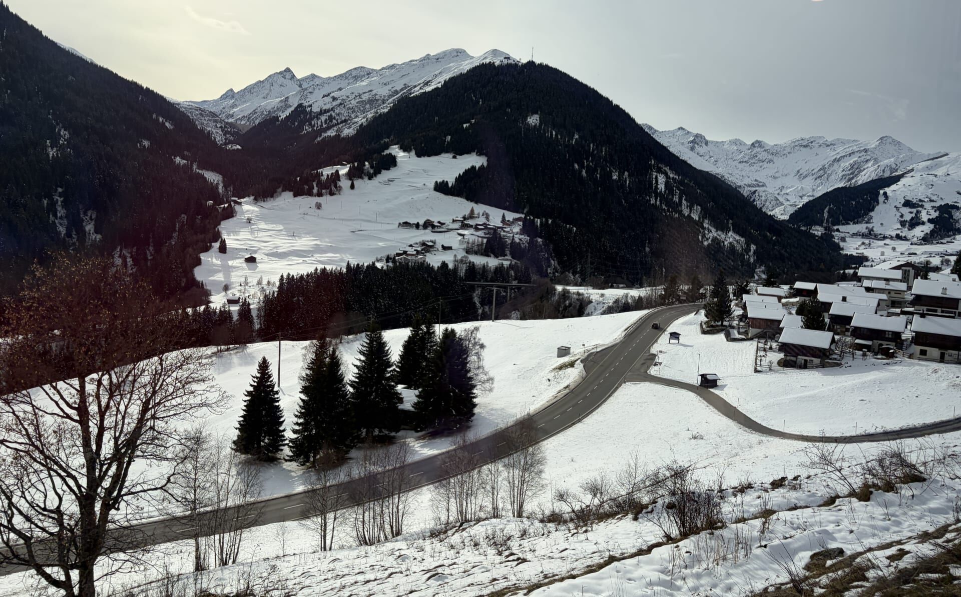
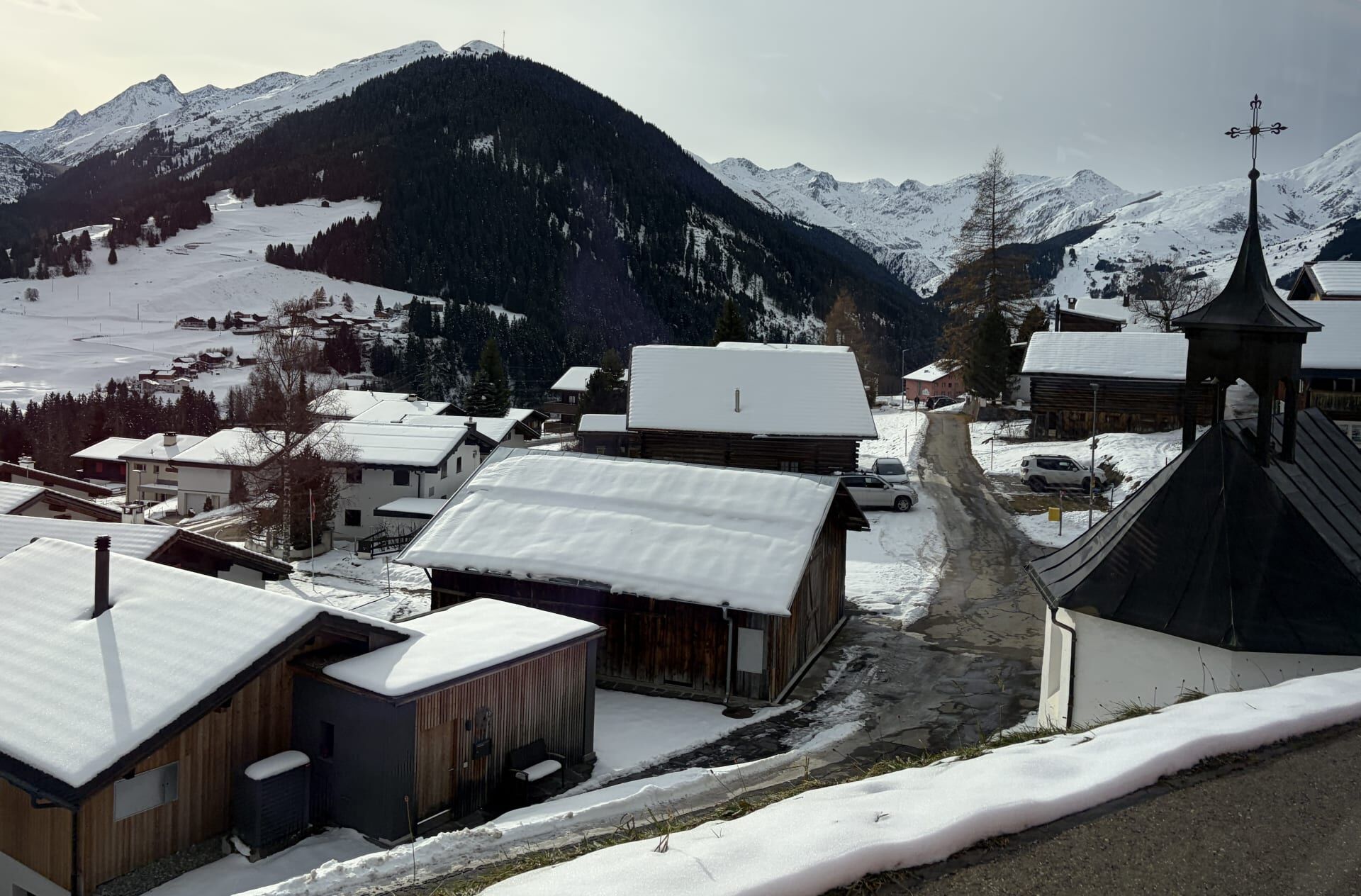
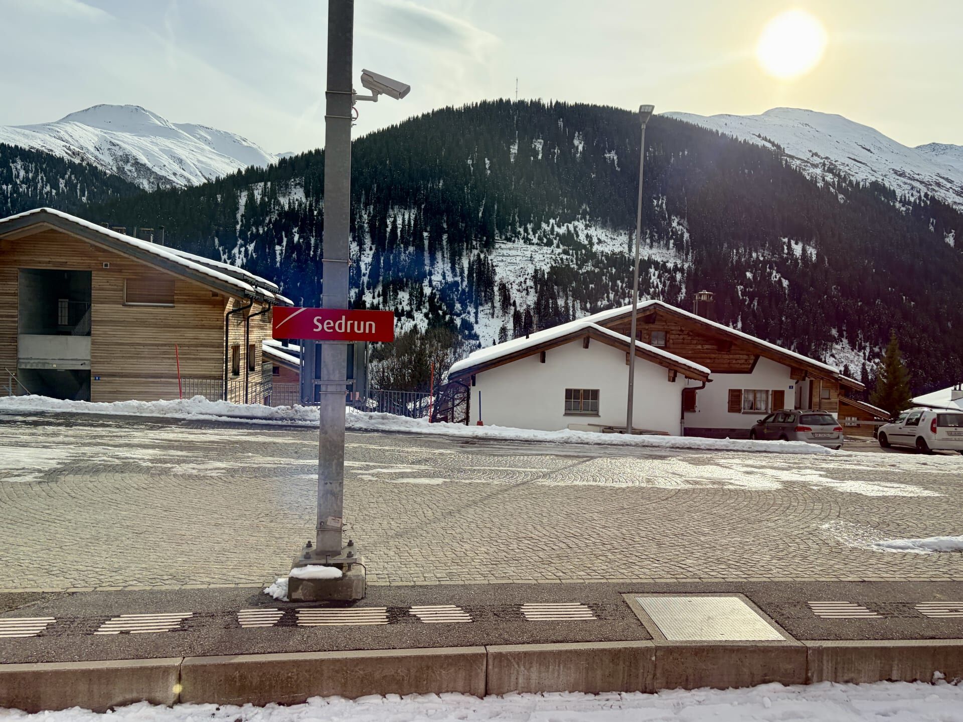
The village of Sedrun (pictured below) is notable for an ambitious railway project that never came to fruition. Porta Alpina was a proposed underground railway station to be located in the middle of the Gotthard Base Tunnel, 800 metres beneath Sedrun. This station would have connected Switzerland’s North-South Gotthard Railway with its East-West Rhaetian Railway/Matterhorn-Gotthard Railway. Passengers would have accessed the station via an elevator descending through an 800 metre shaft from the village above. The idea for Porta Alpina was first conceived in 1947 by engineer Eduard Gruner, who envisaged a luxury train called the ‘Europe-Africa Express’ that would connect Khartoum, the capital of Sudan, with London via an underground station at Sedrun. The train would even have offered passengers amenities such as a hairdresser.10 Had it been built, Porta Alpina would have been the deepest railway station in the world (ten times as deep as the current heavy-rail record holder, Jerusalem–Yitzhak Navon Station in Israel), located inside the world’s longest railway tunnel, and accessed via the world’s fastest and deepest elevator. Ultimately, however, politicians decided against the project, largely due to its enormous cost.11
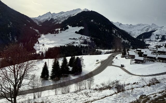
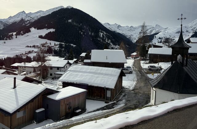
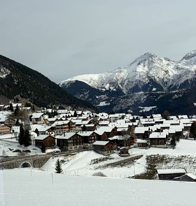
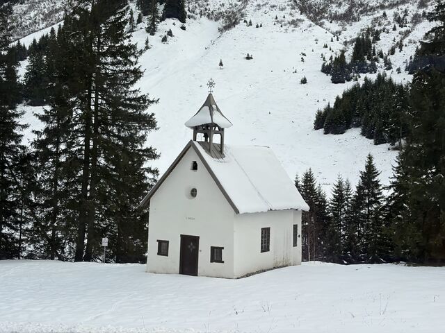
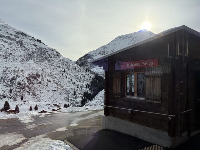
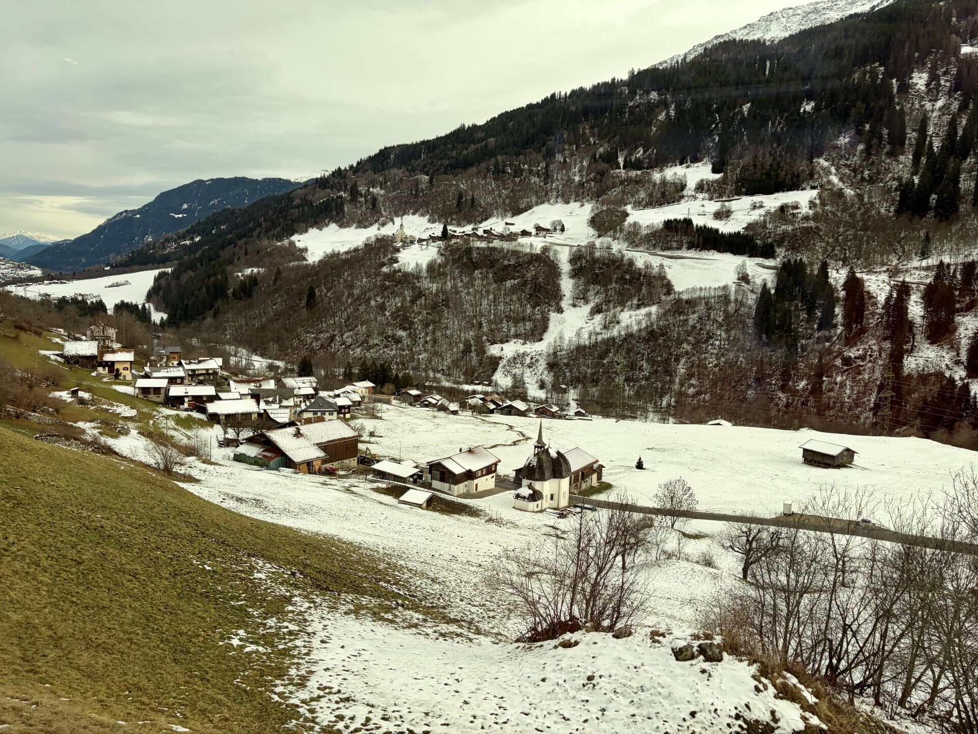
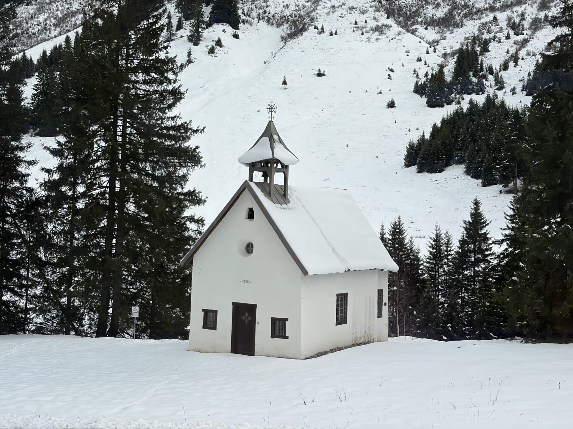
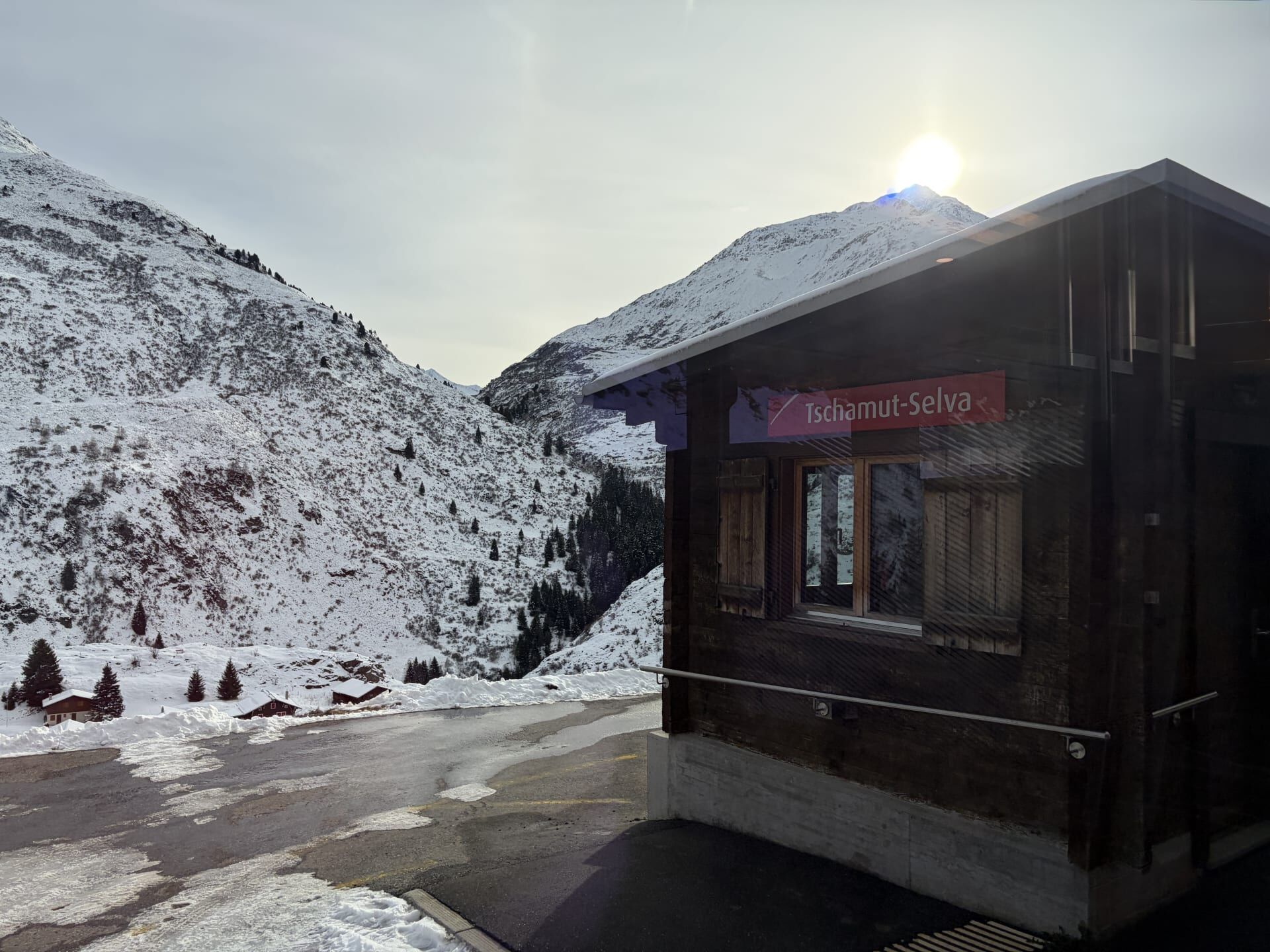
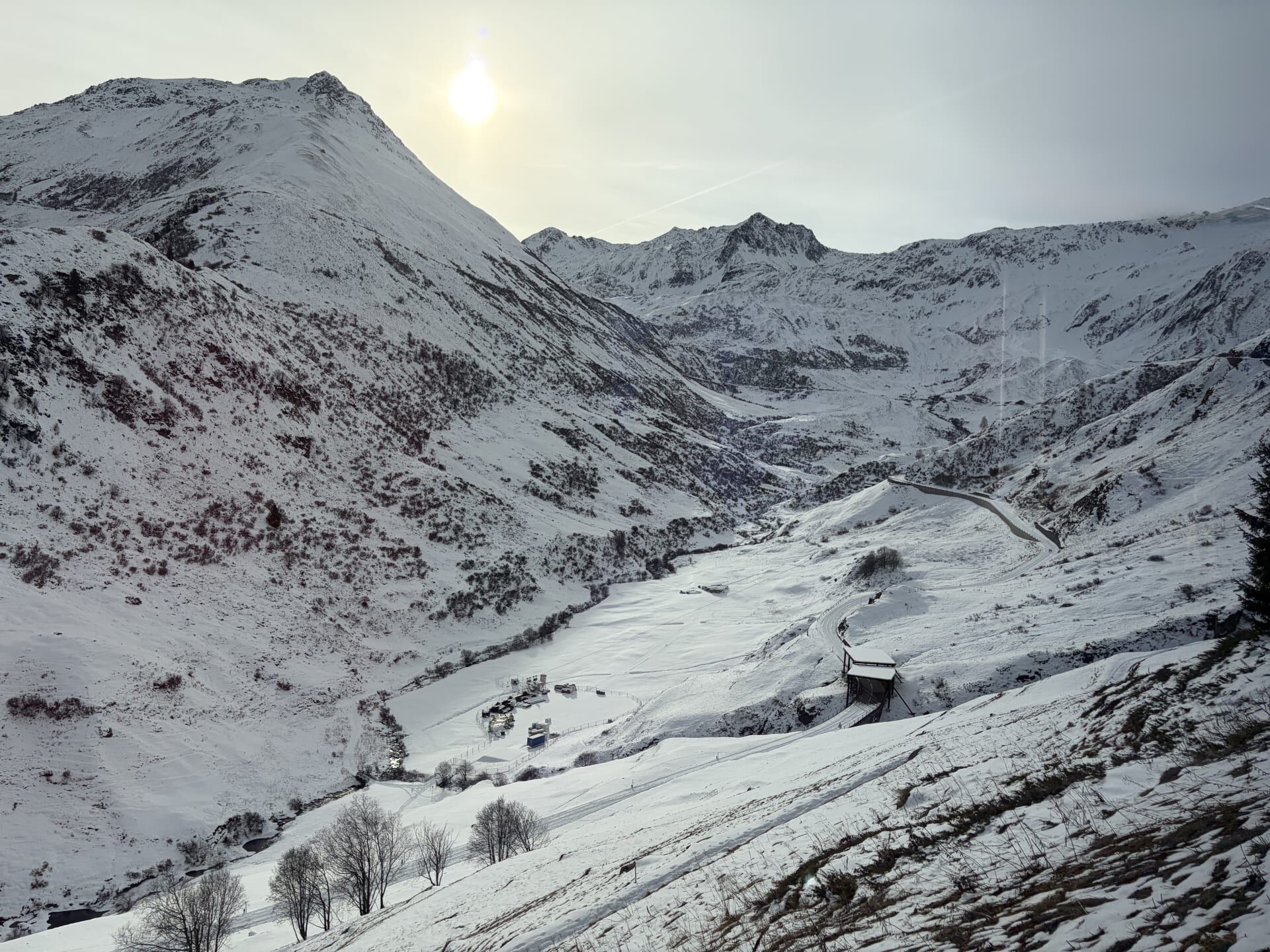
Between Dieni and Tschamut-Selva we passed the small, isolated Chapel of St Brida, built in 1734. Before long, we had reached the Oberalpsee (the highest point en route!)
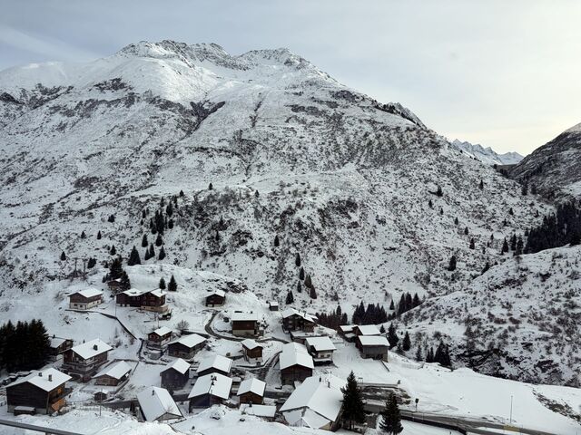
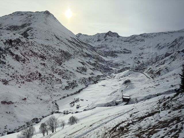
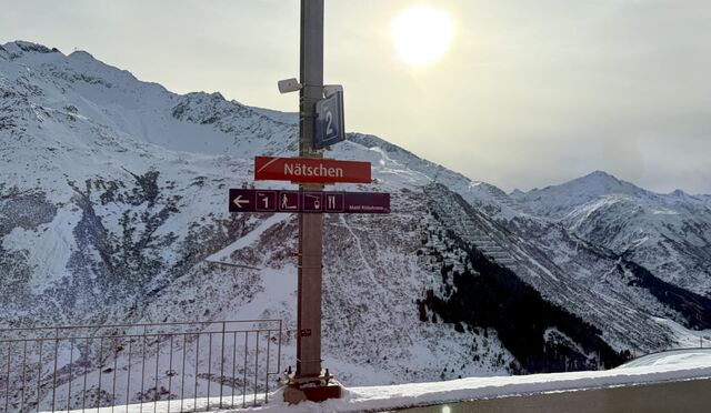
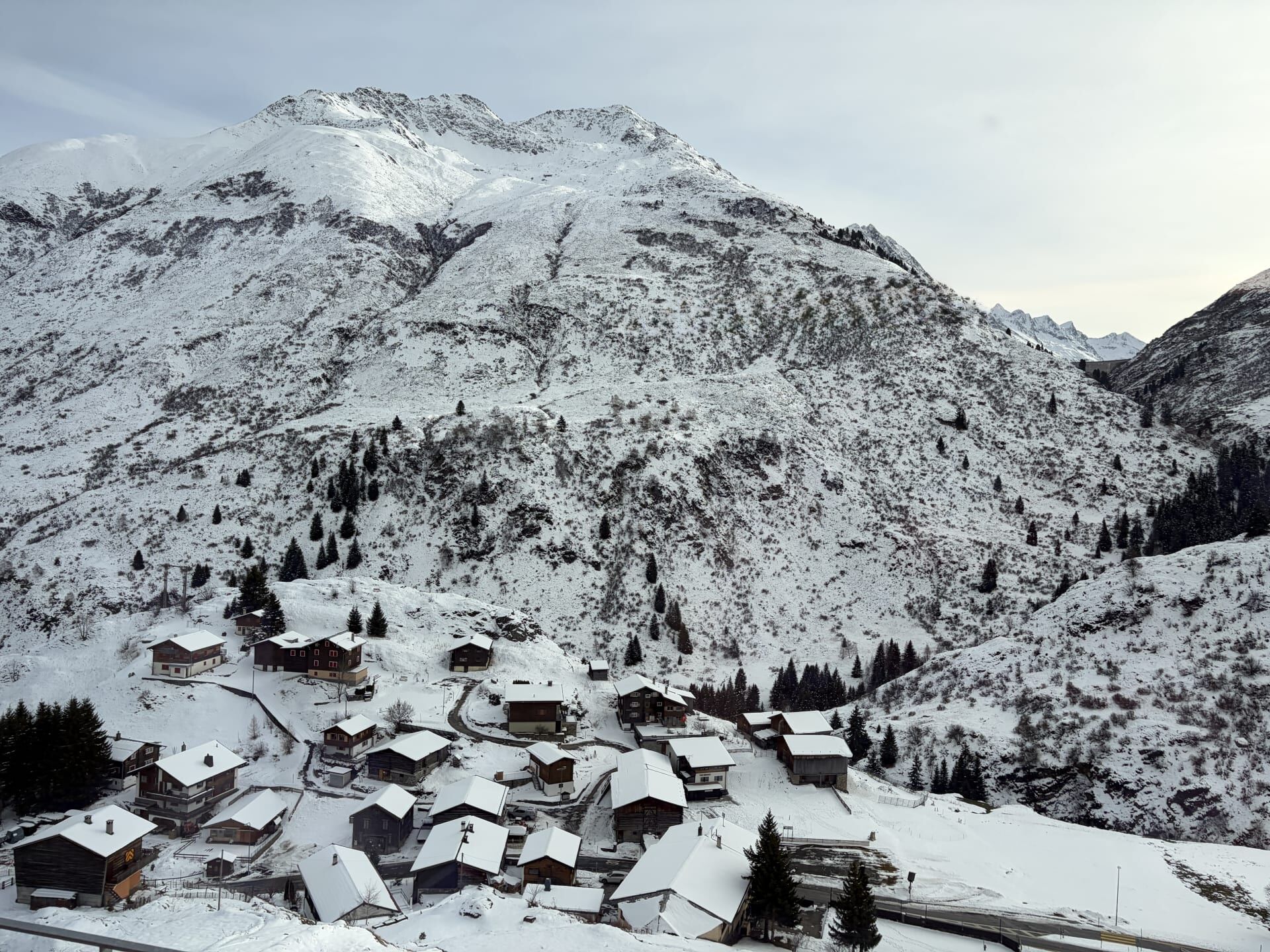
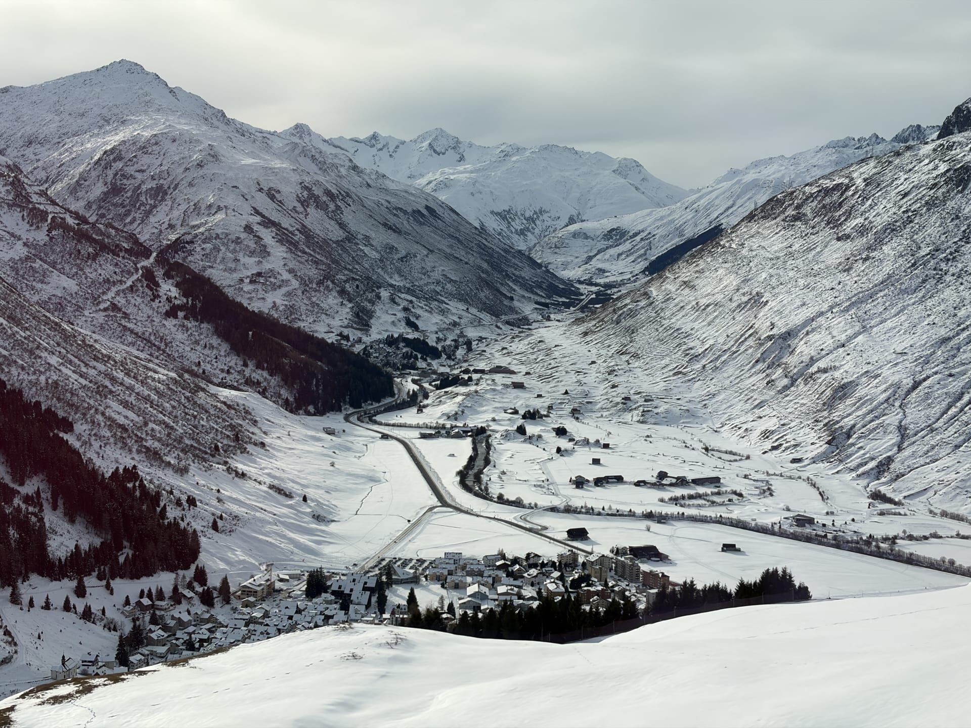
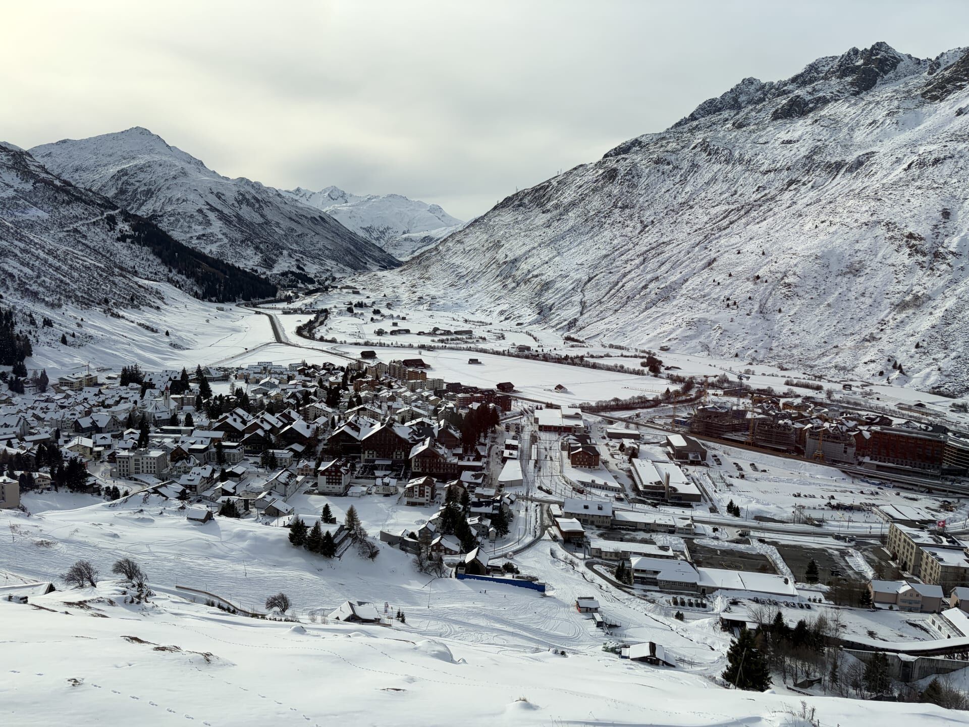
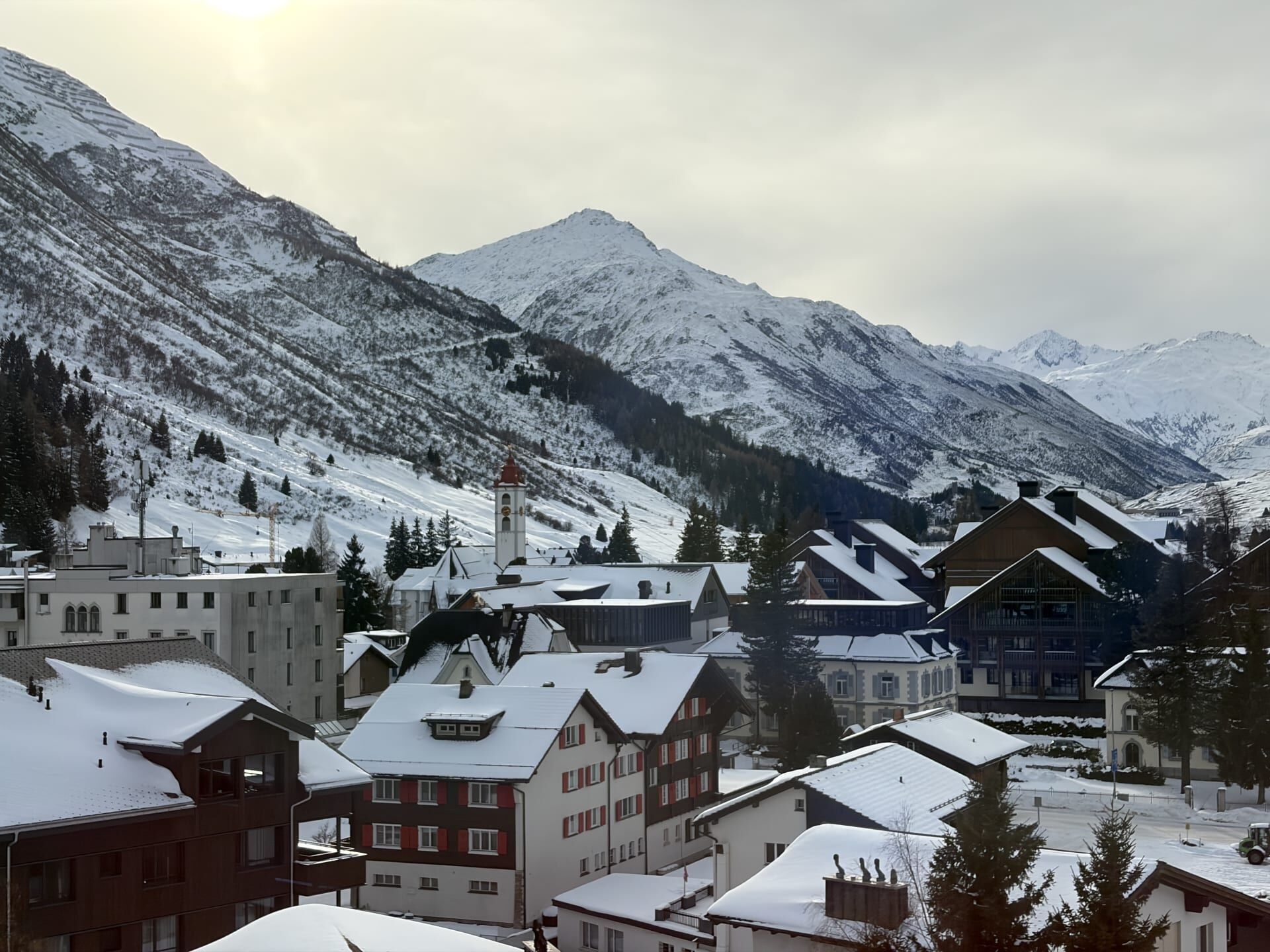
From here, the train began its steep descent into Andermatt, weaving around four half-spirals to descend approximately 500 metres.12 With each spiral the train descended, Andermatt came into view, appearing on alternating sides of the train.
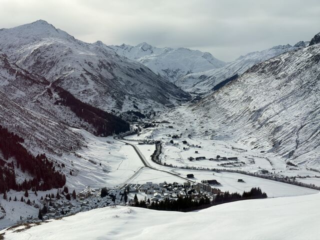
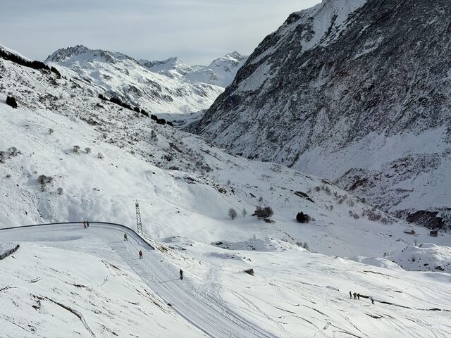
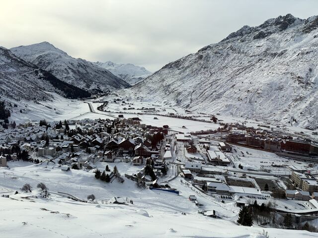
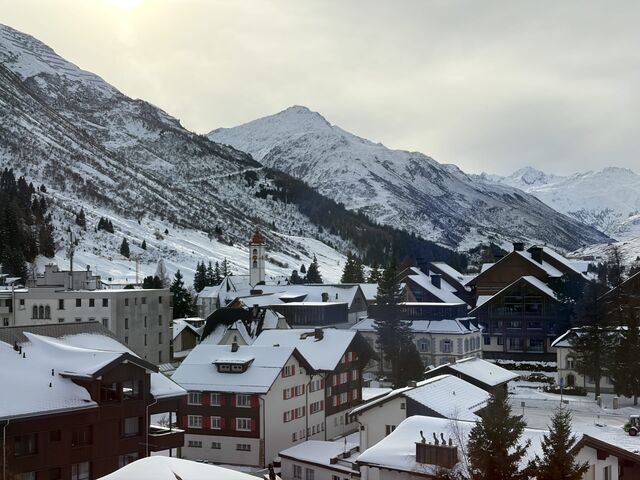
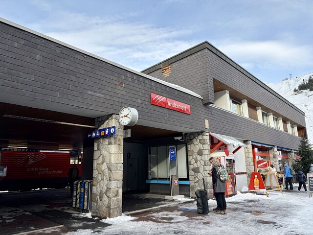
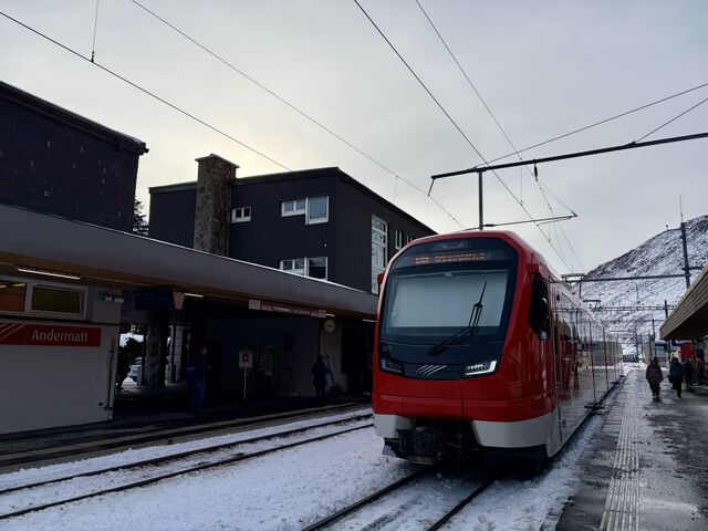
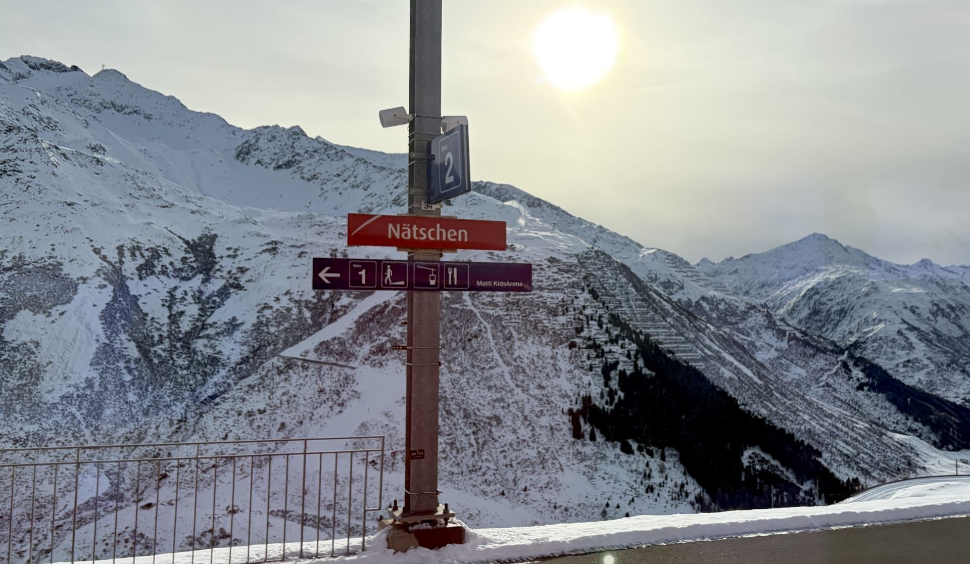
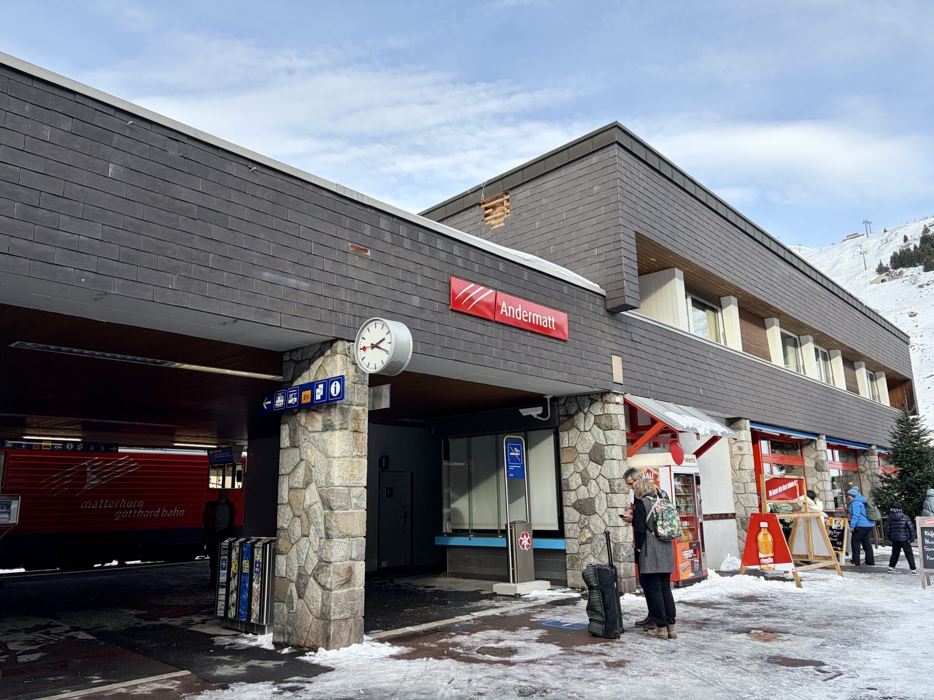
My guidebook informed me that Andermatt has benefited from substantial investments from the Middle East in recent years.13 In the 2010s, the town was transformed by a 1.2 billion pound investment from an Egyptian entrepreneur, leading to the construction of multiple luxury hotels in the village.14 Andermatt is also an important railway junction. From here, passengers can travel north towards Göschenen via the spectacular Schöllenen Railway, where they can connect with the Gotthard Railway to travel north towards Zurich or south towards Lugano. I alighted at Andermatt to change trains and continue my journey west.
Andermatt to Visp
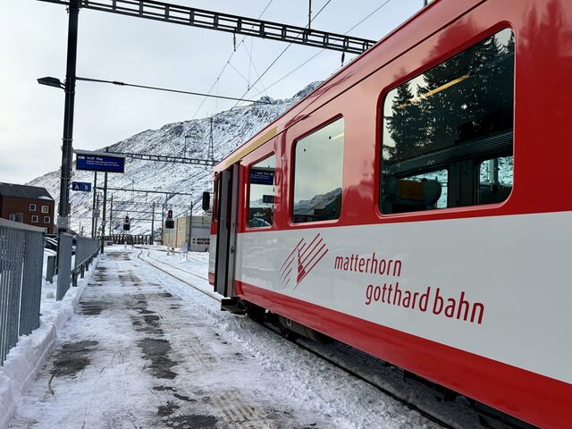
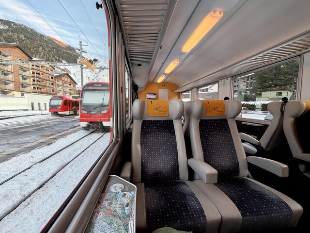
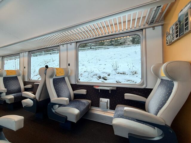
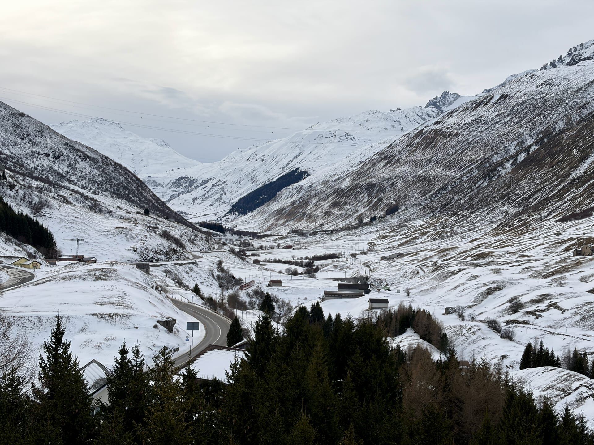
For the journey between Andermatt and Visp, I found that the best views were on the left side of the train.
Hospental
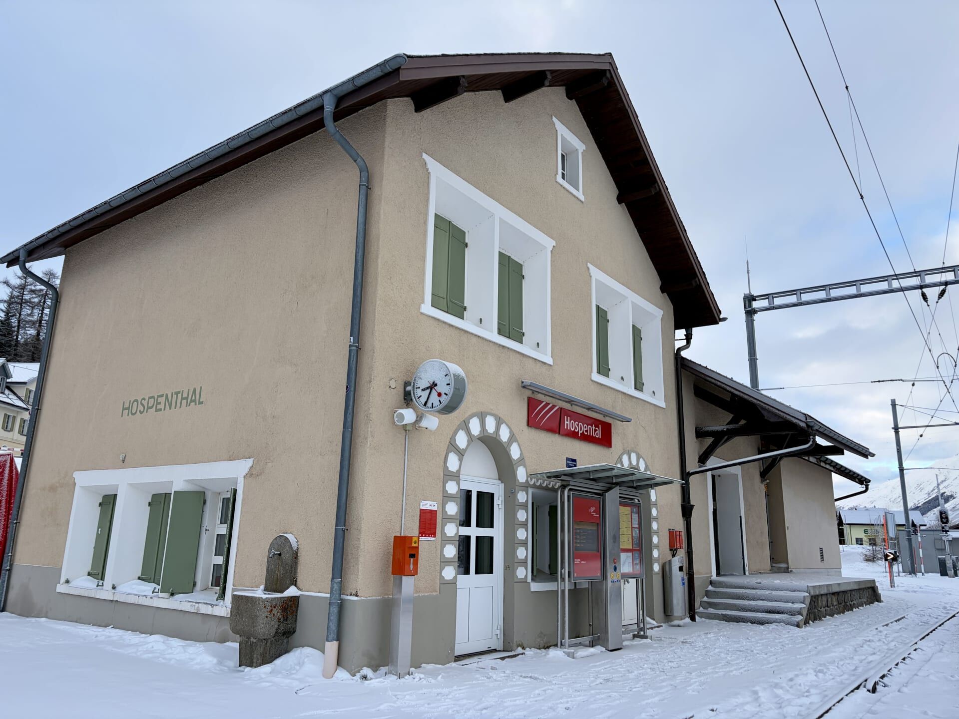
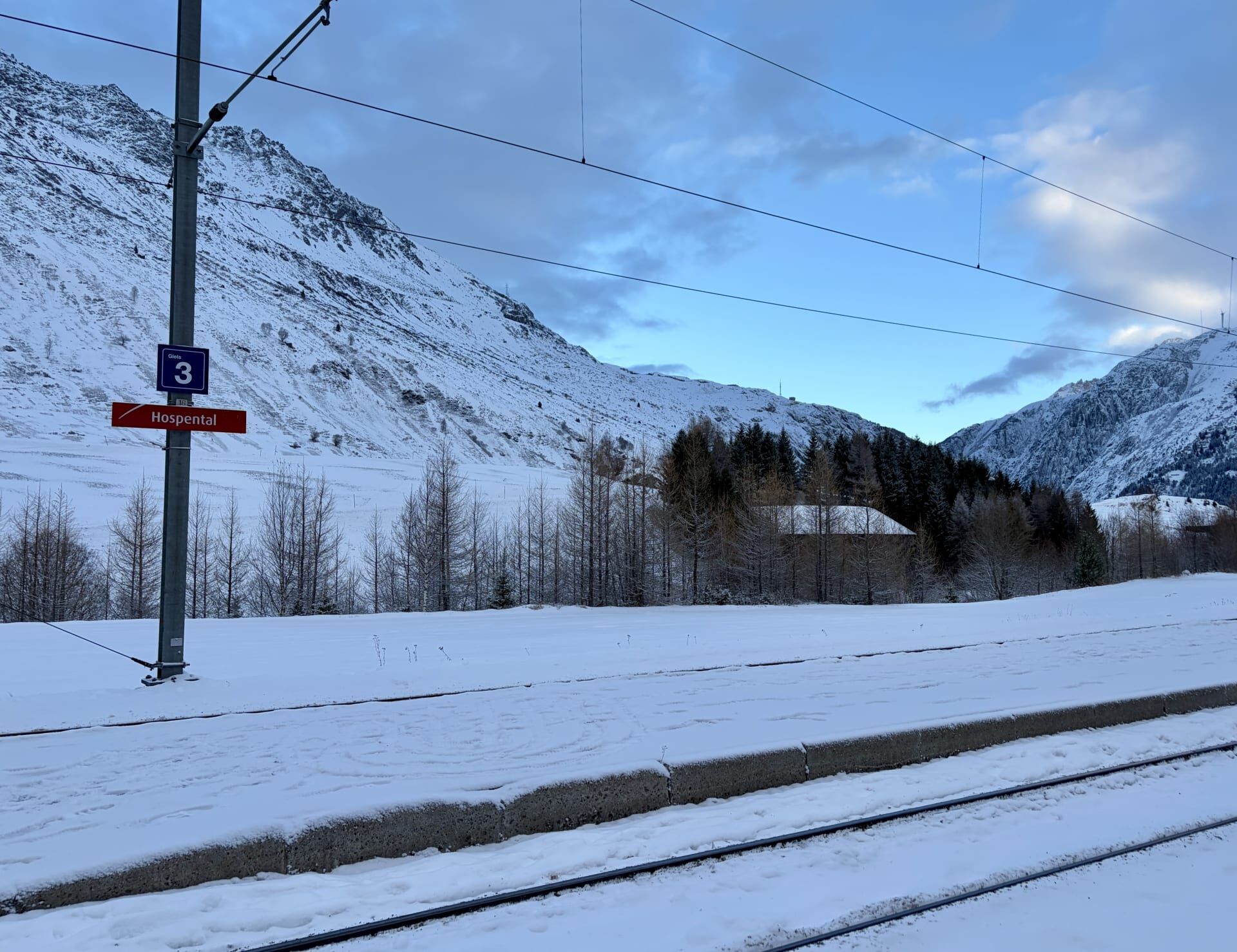
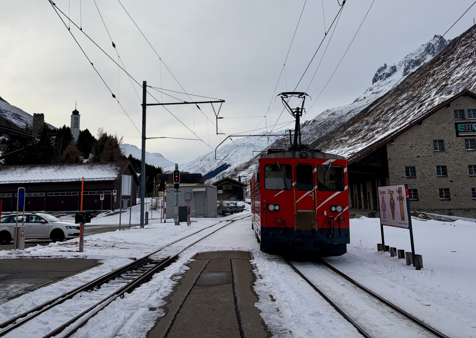
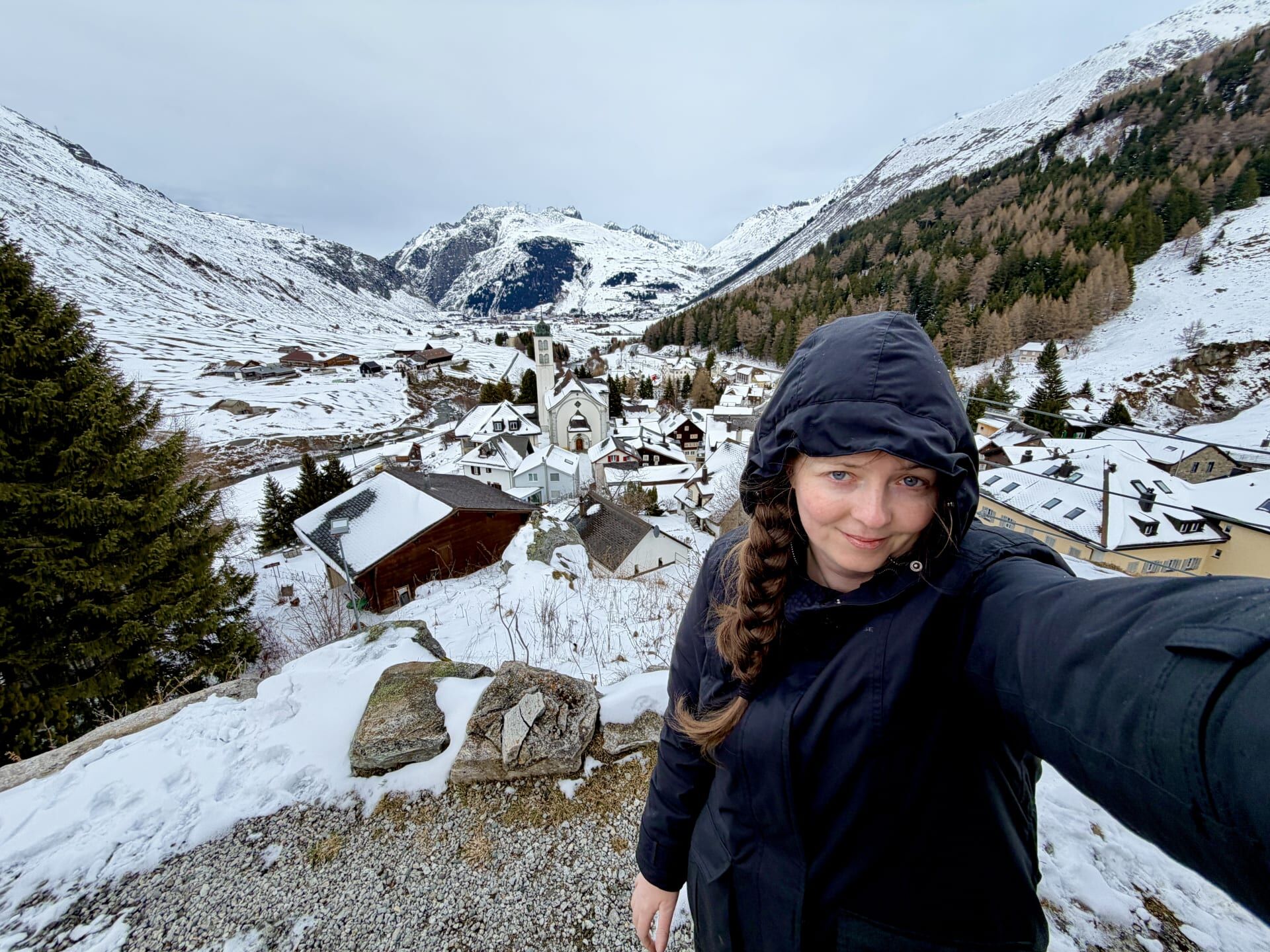
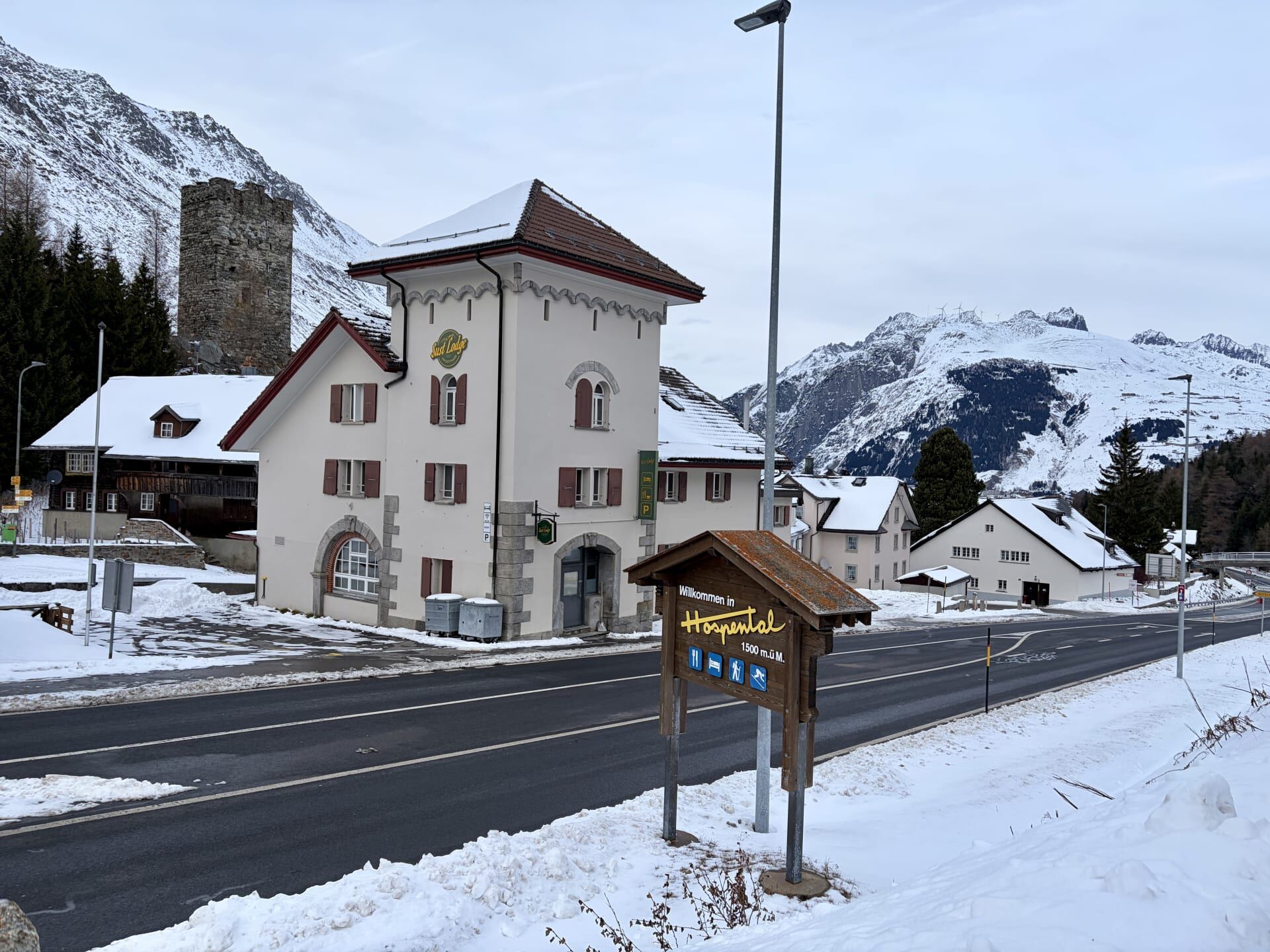
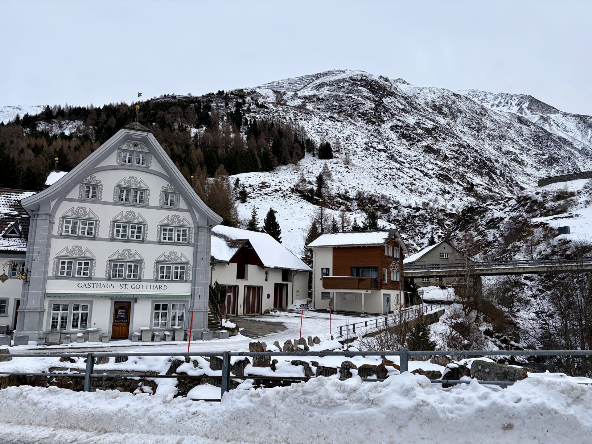
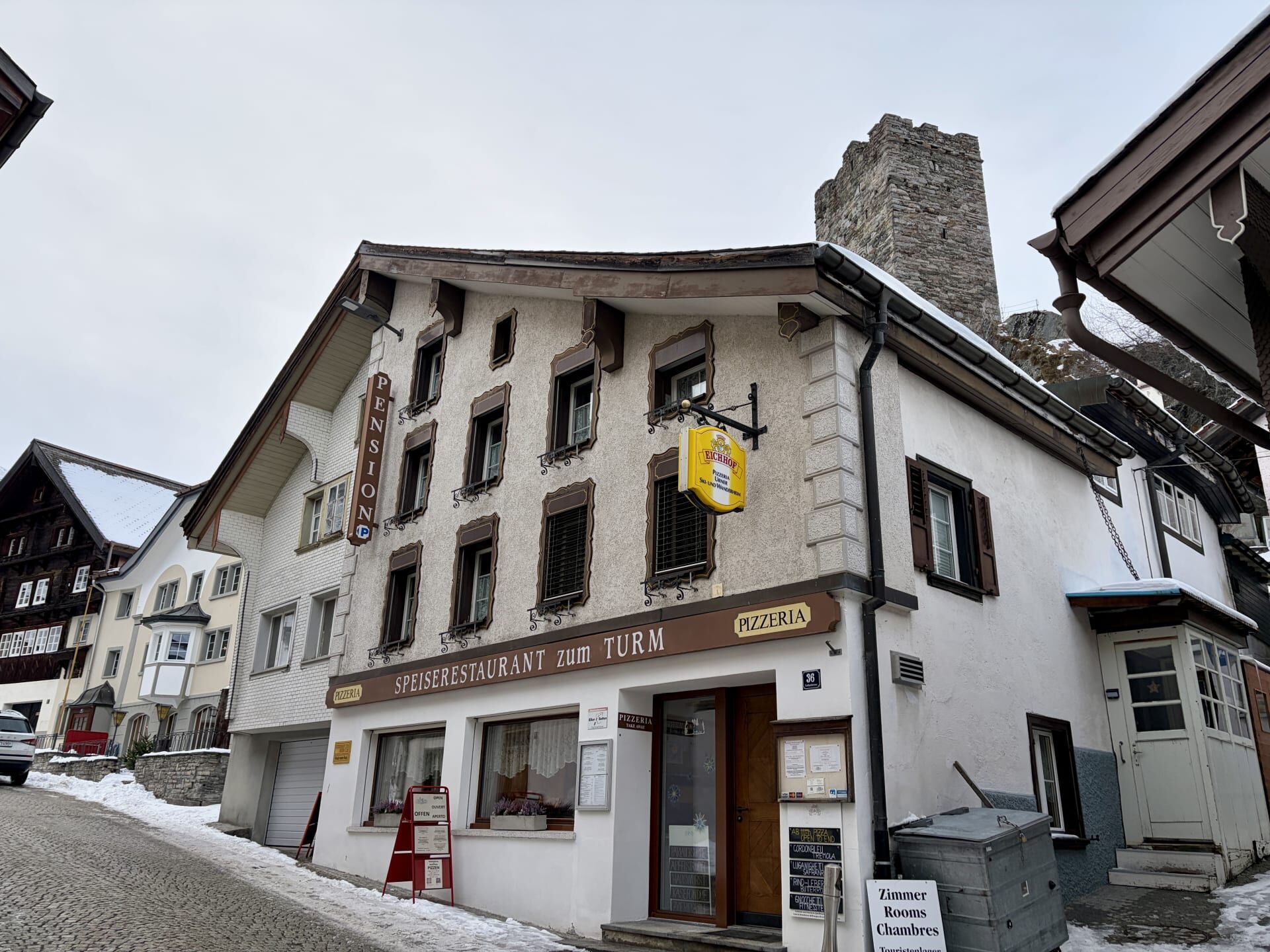
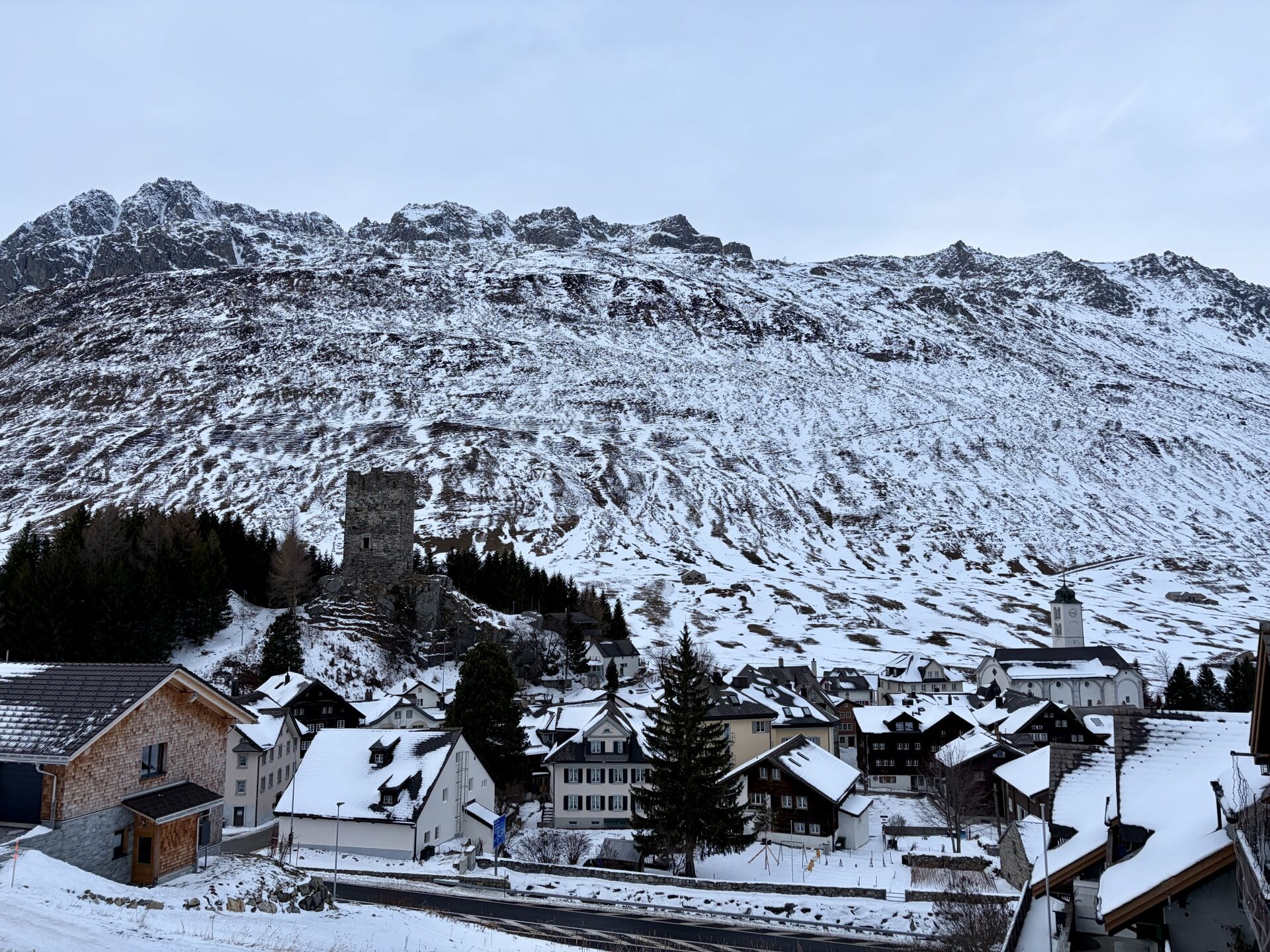
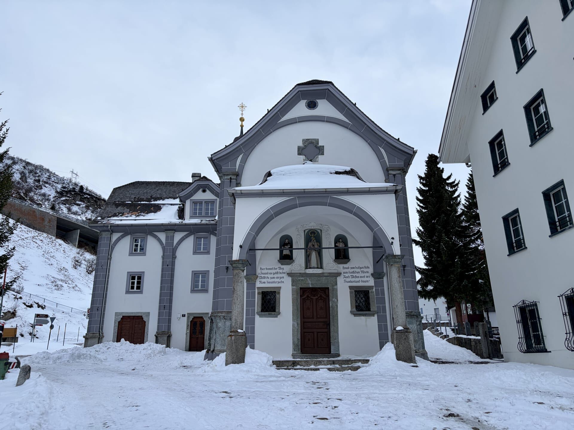
Less than 5 minutes from Andermatt lies the small village of Hospental. This is a request stop, with a population of 180. I alighted here to spend the night.
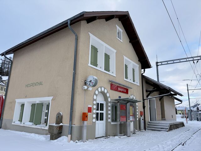
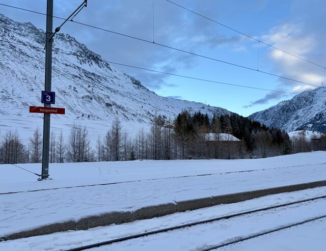
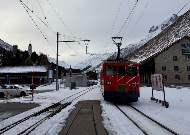
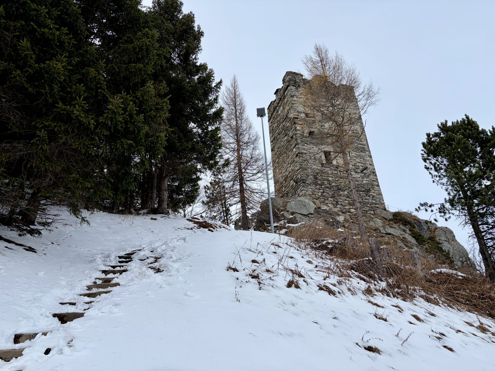
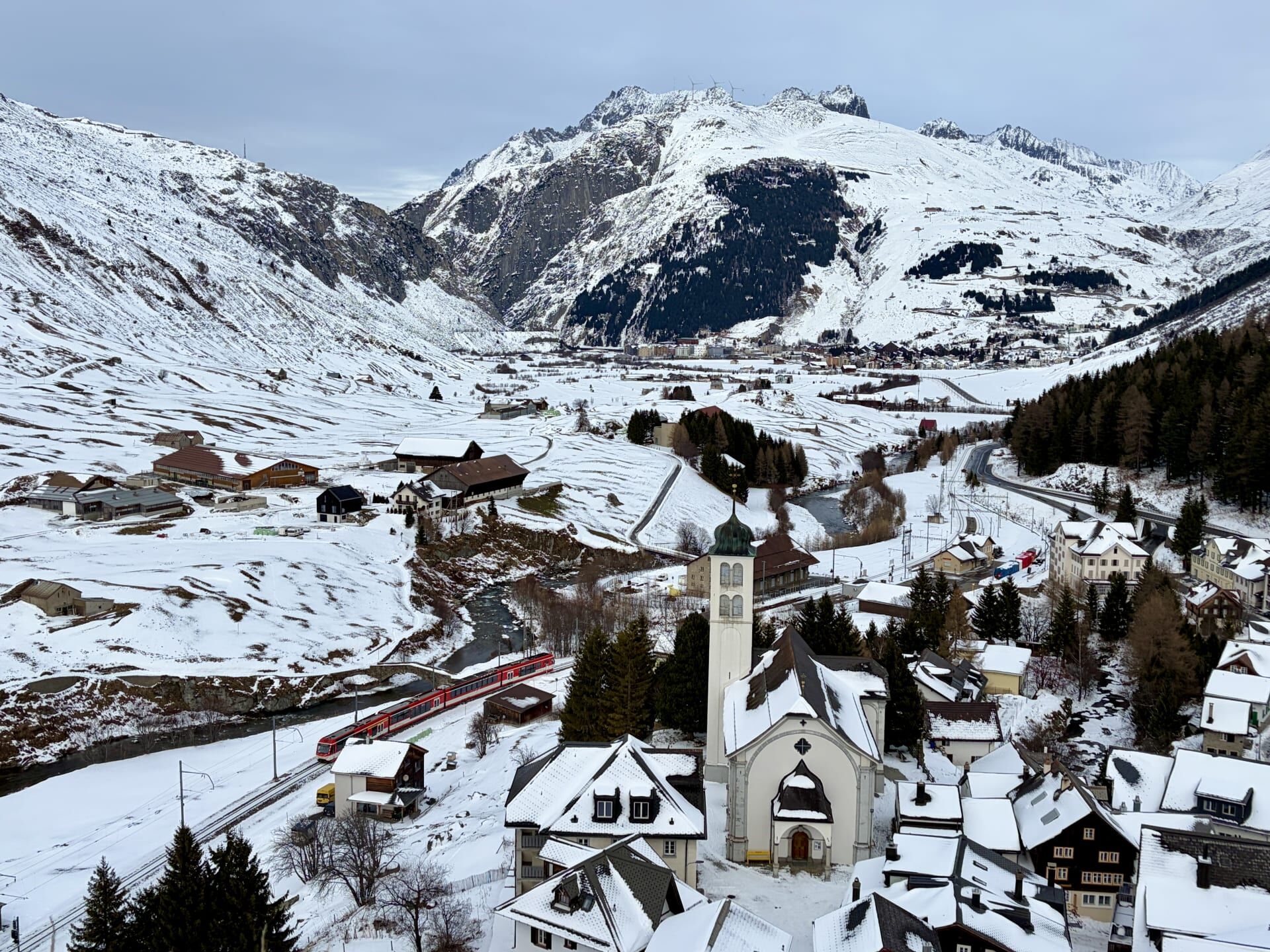
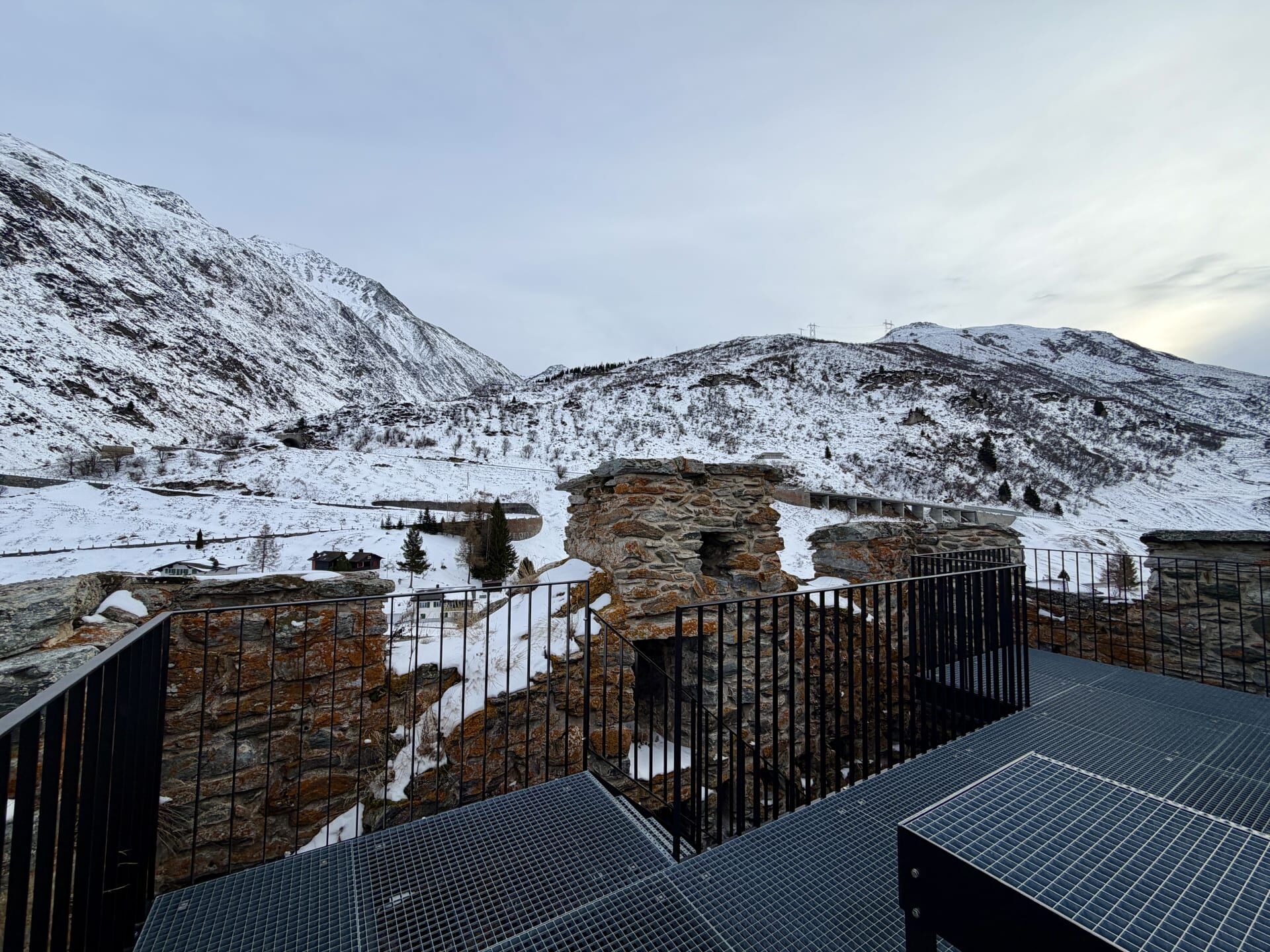
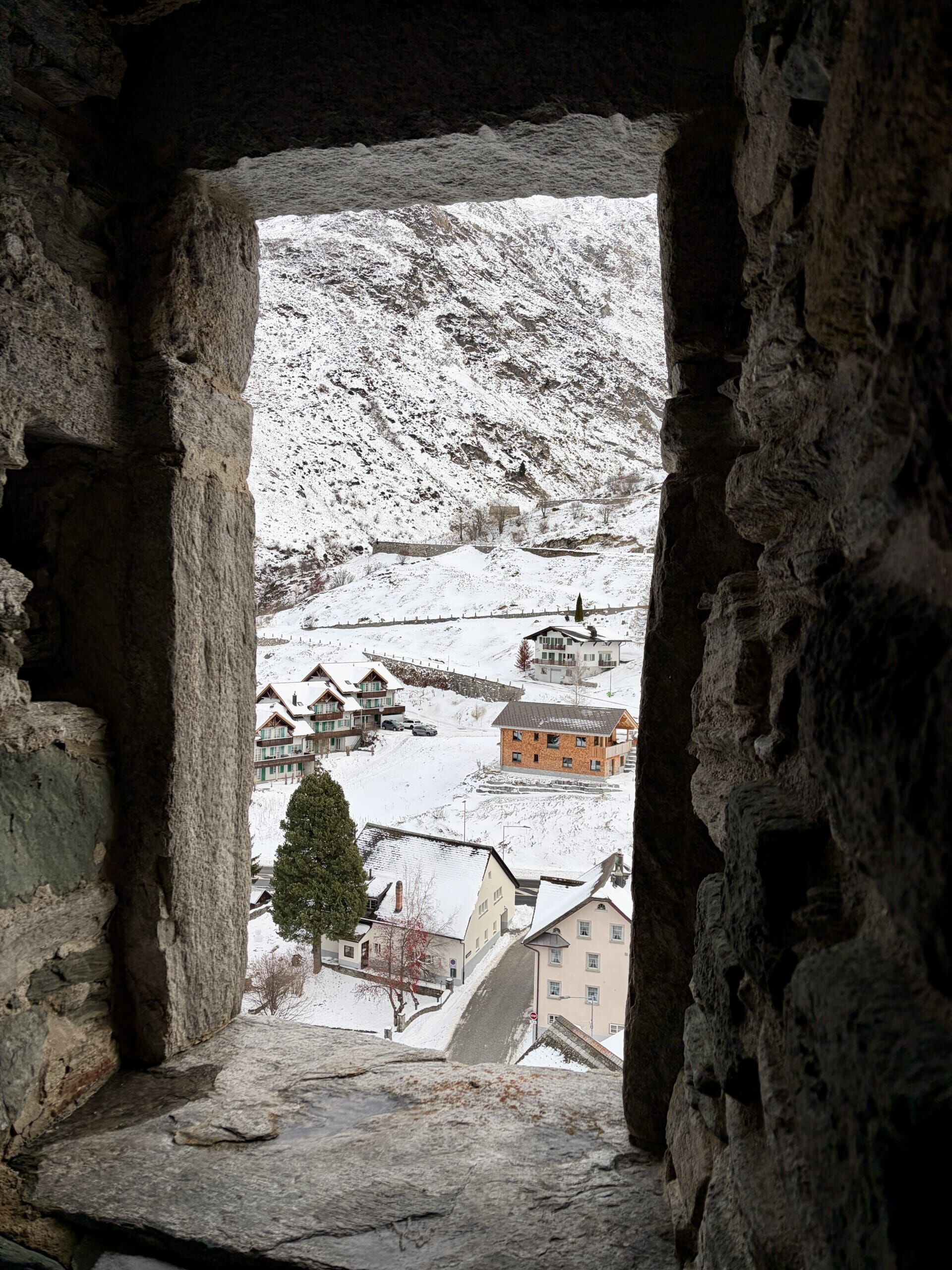
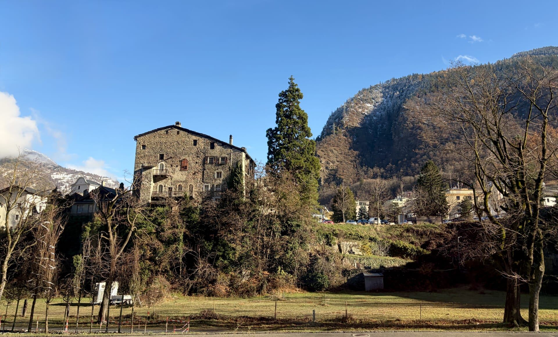
The village is dominated by its tower (the Tower of the Lords of Hospental, also known as Hospental Castle), constructed in approximately 1277. From the top of the tower, there are great views over the railway and the village, whose centrepiece is the large Baroque church of Maria Himmelfahrt, constructed in the early eighteenth century. I enjoyed watching trains pass through Hospental Station from this vantage point. Back in 1277, the tower’s owners served as administrators of the valley on behalf of the Abbey of Disentis and the German Emperor.15
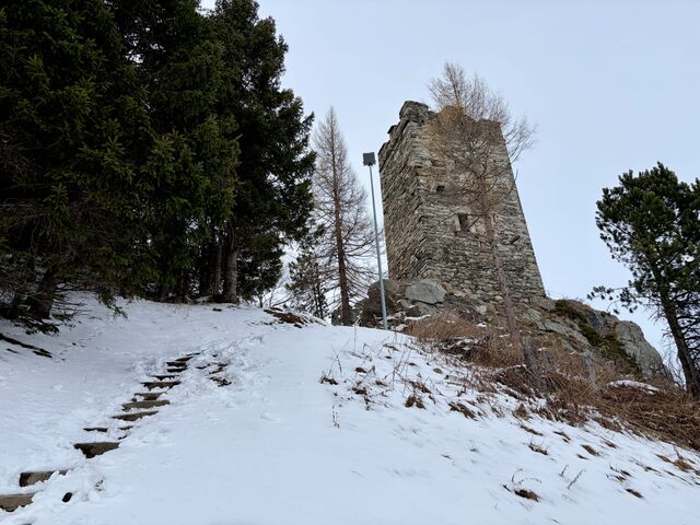
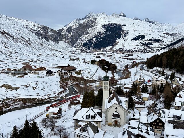
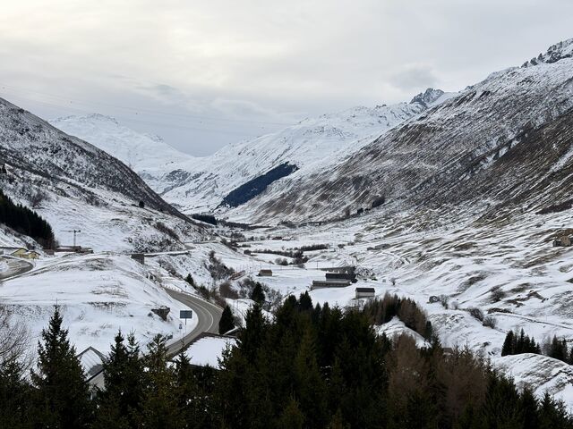
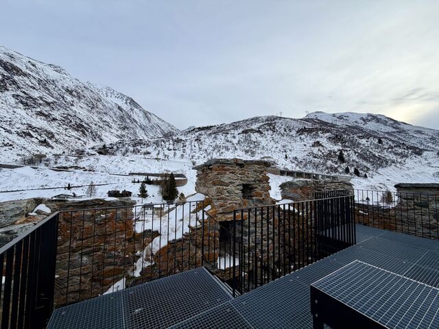
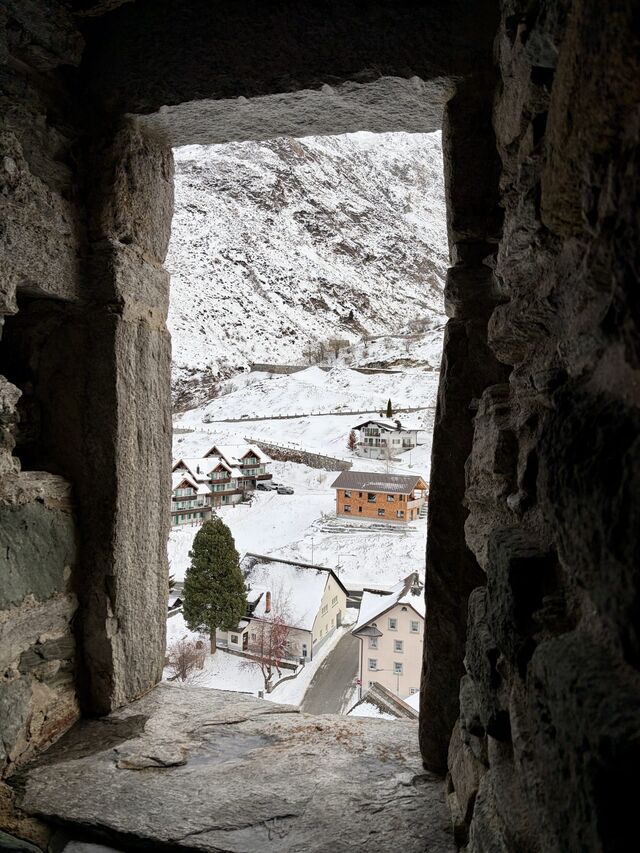
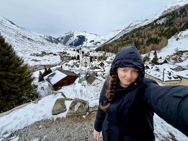
Hospental was on my radar after seeing it featured in my favourite season of my favourite show – Season 9 of Jet Lag: The Game.
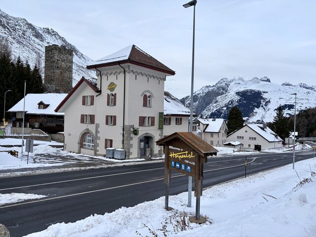
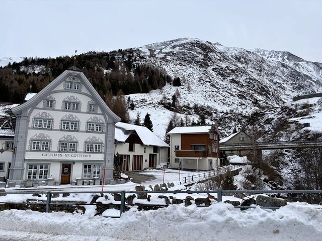
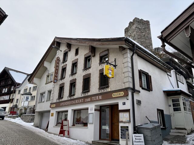
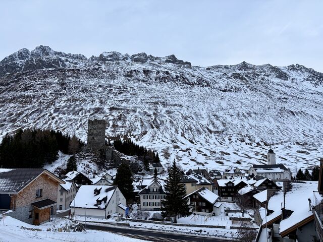
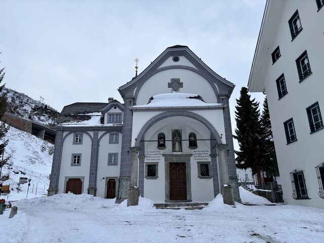
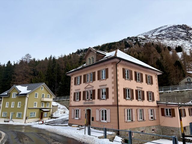
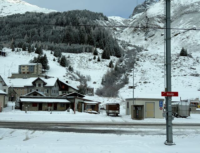
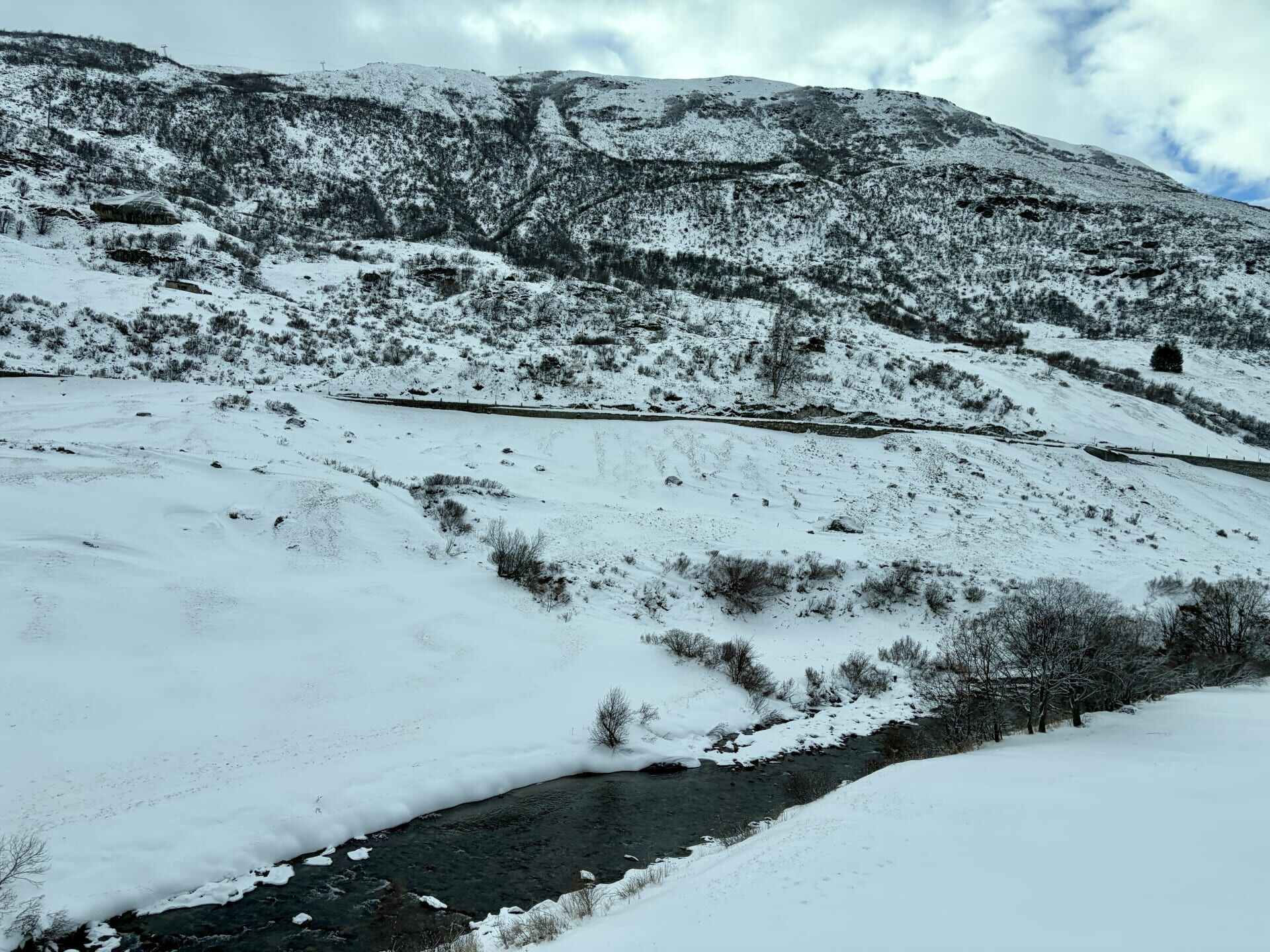
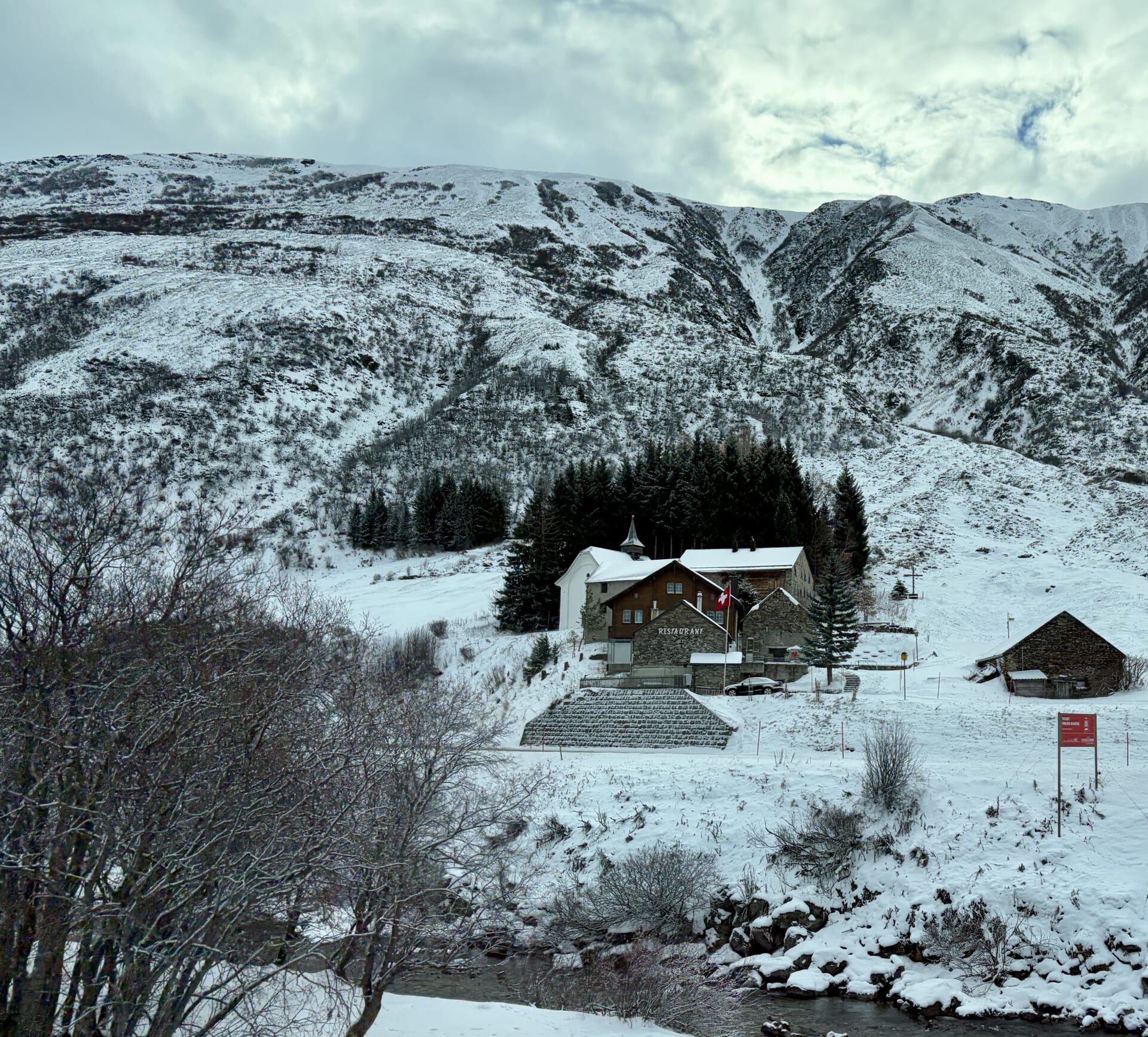
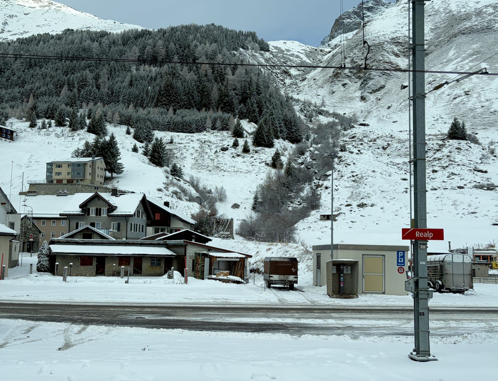
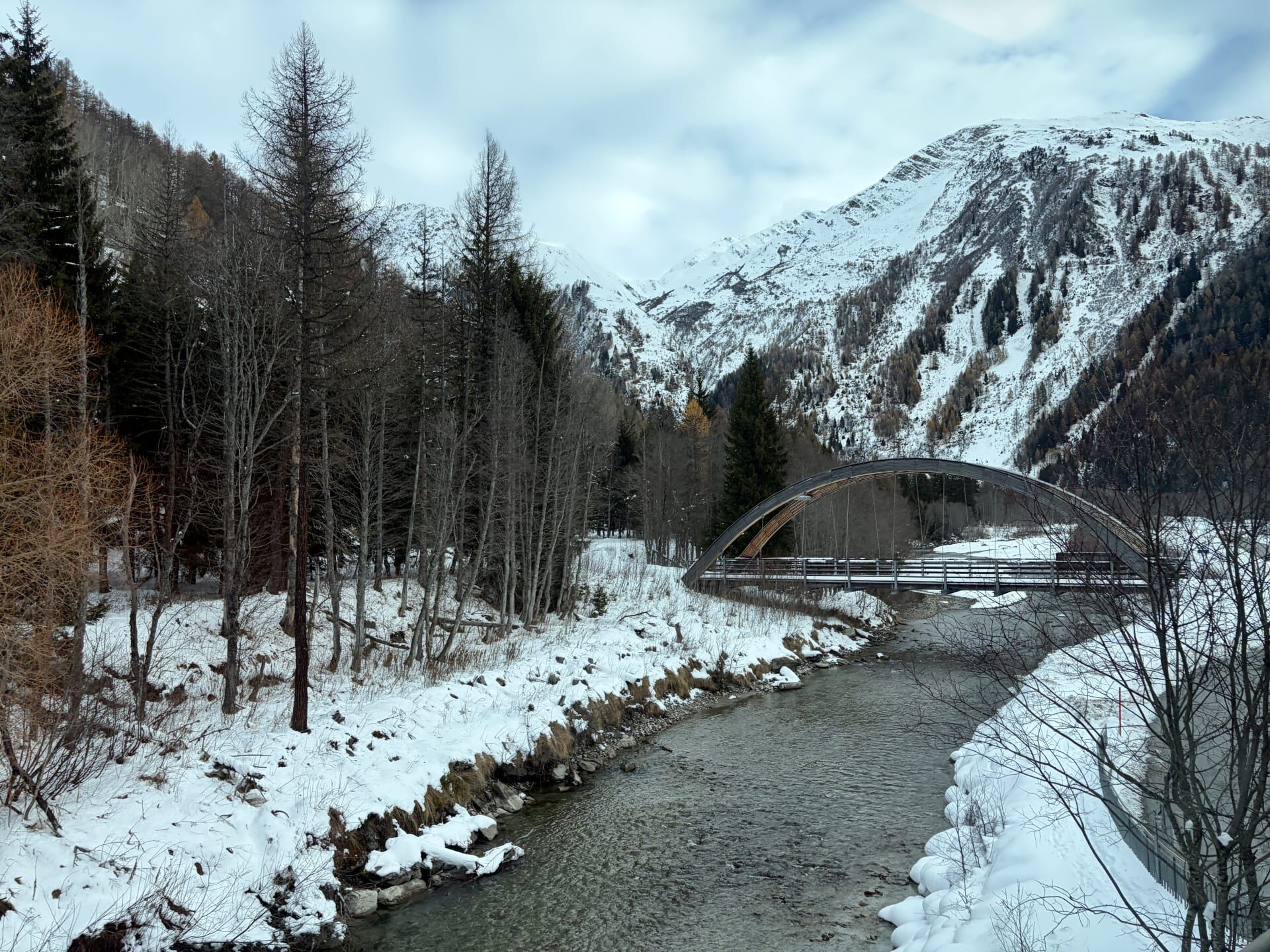
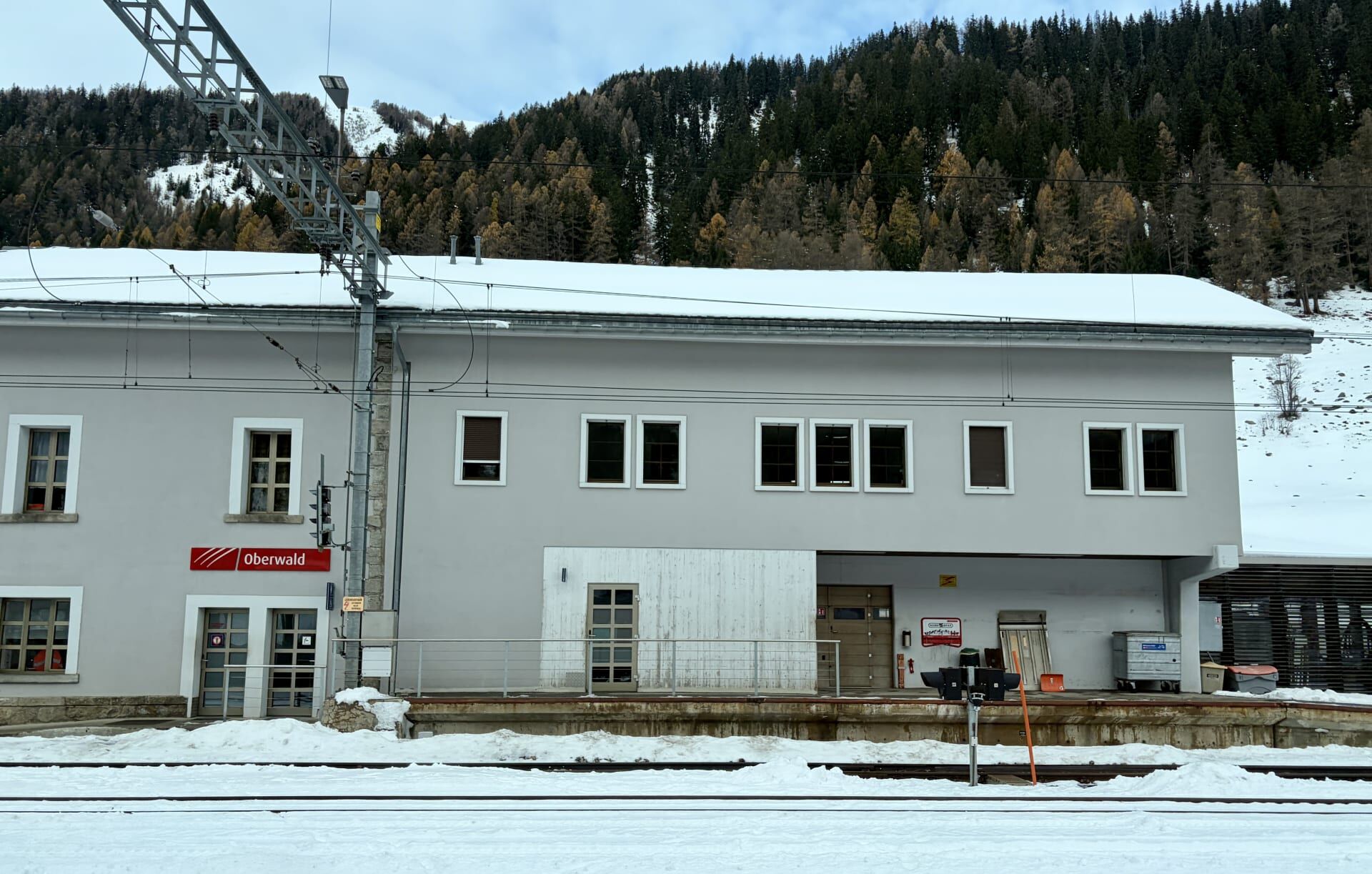
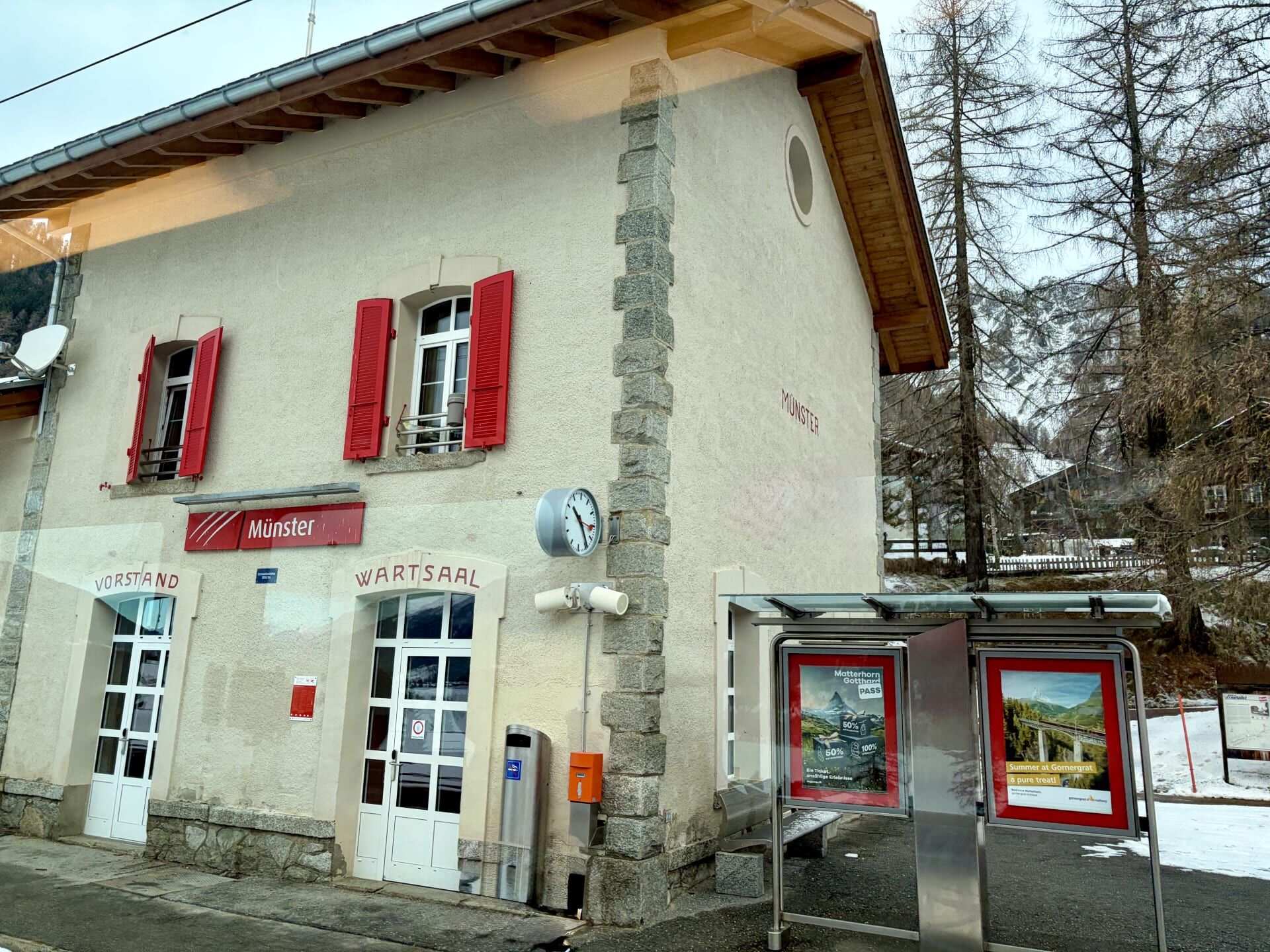
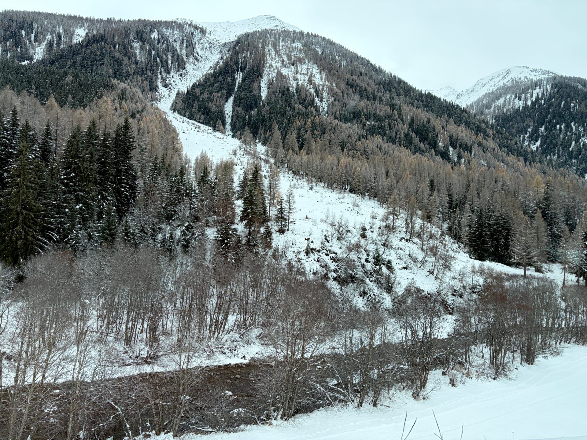
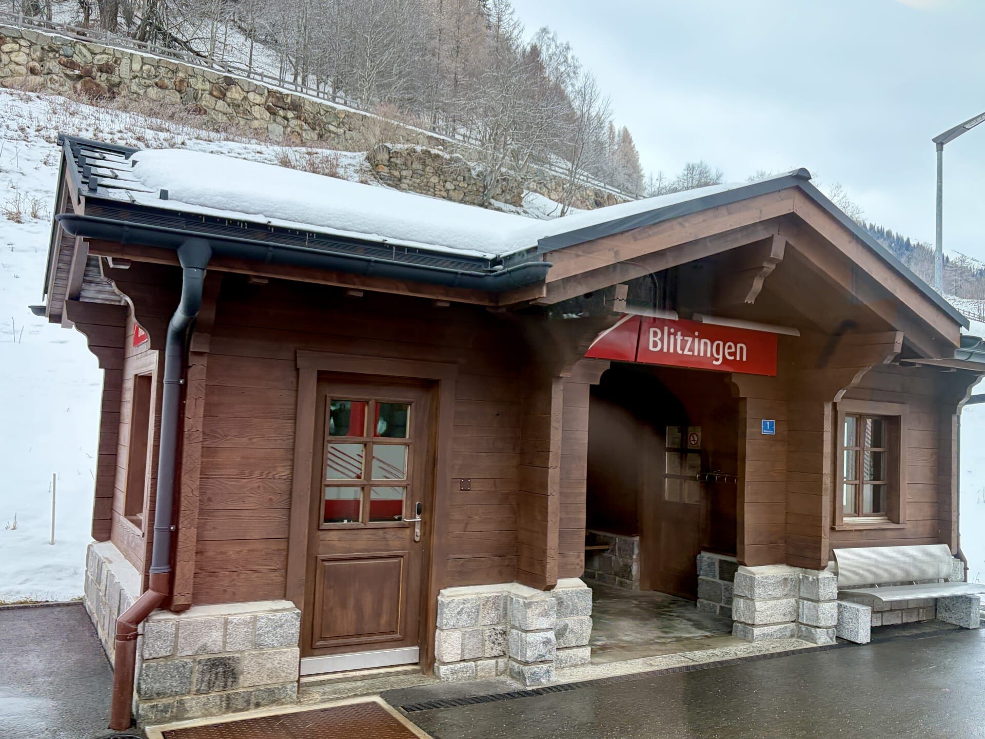
Continuing west, the train made its way to the village of Realp, before travelling through the Furka Base Tunnel between Realp and Oberwald.
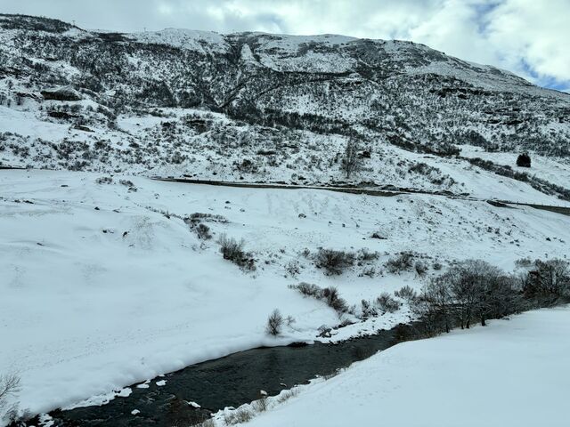
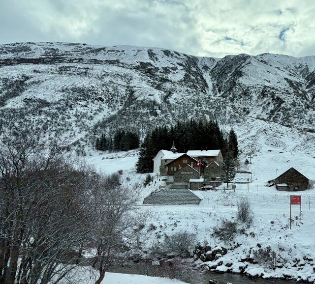
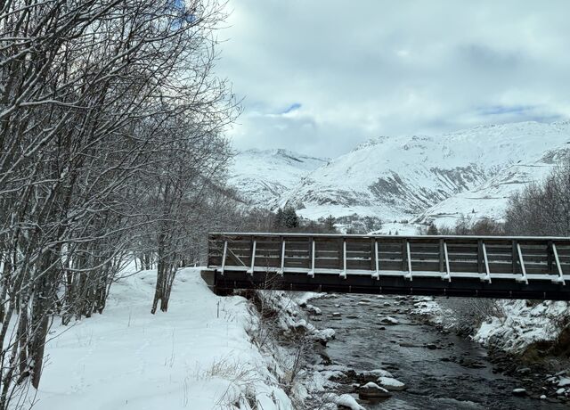
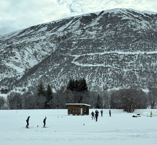
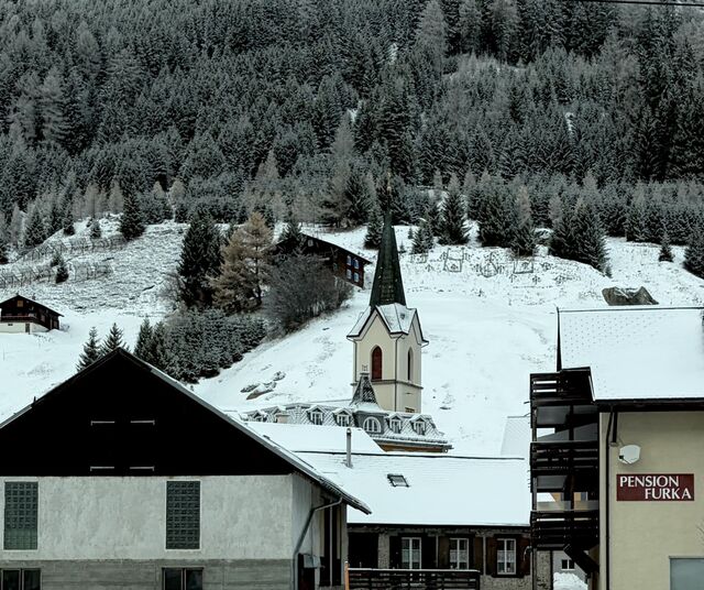
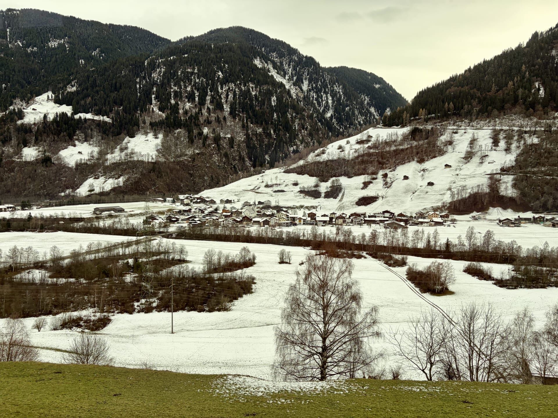
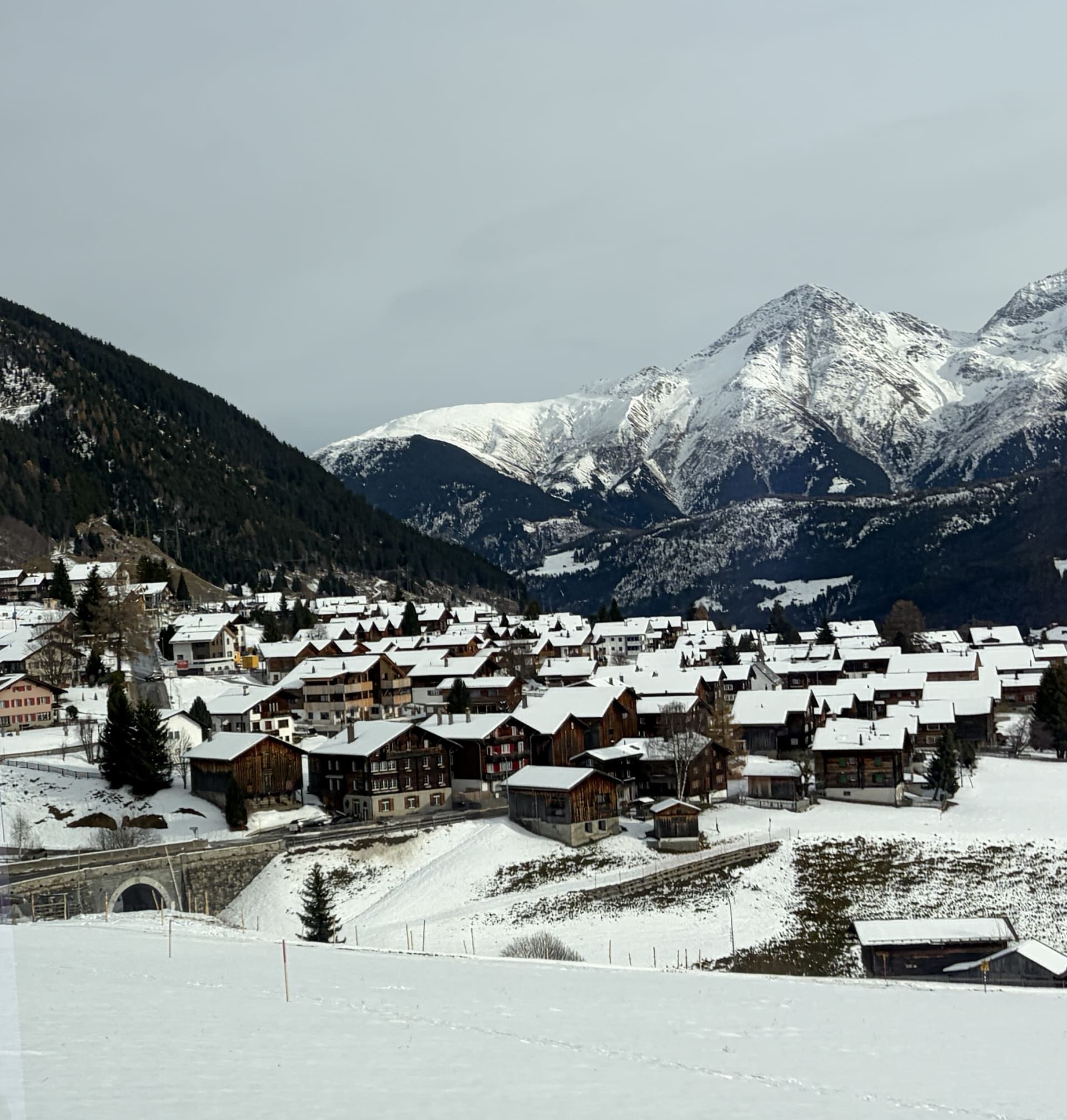
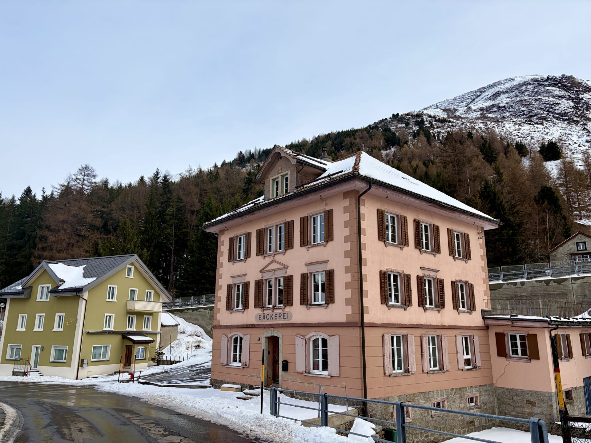
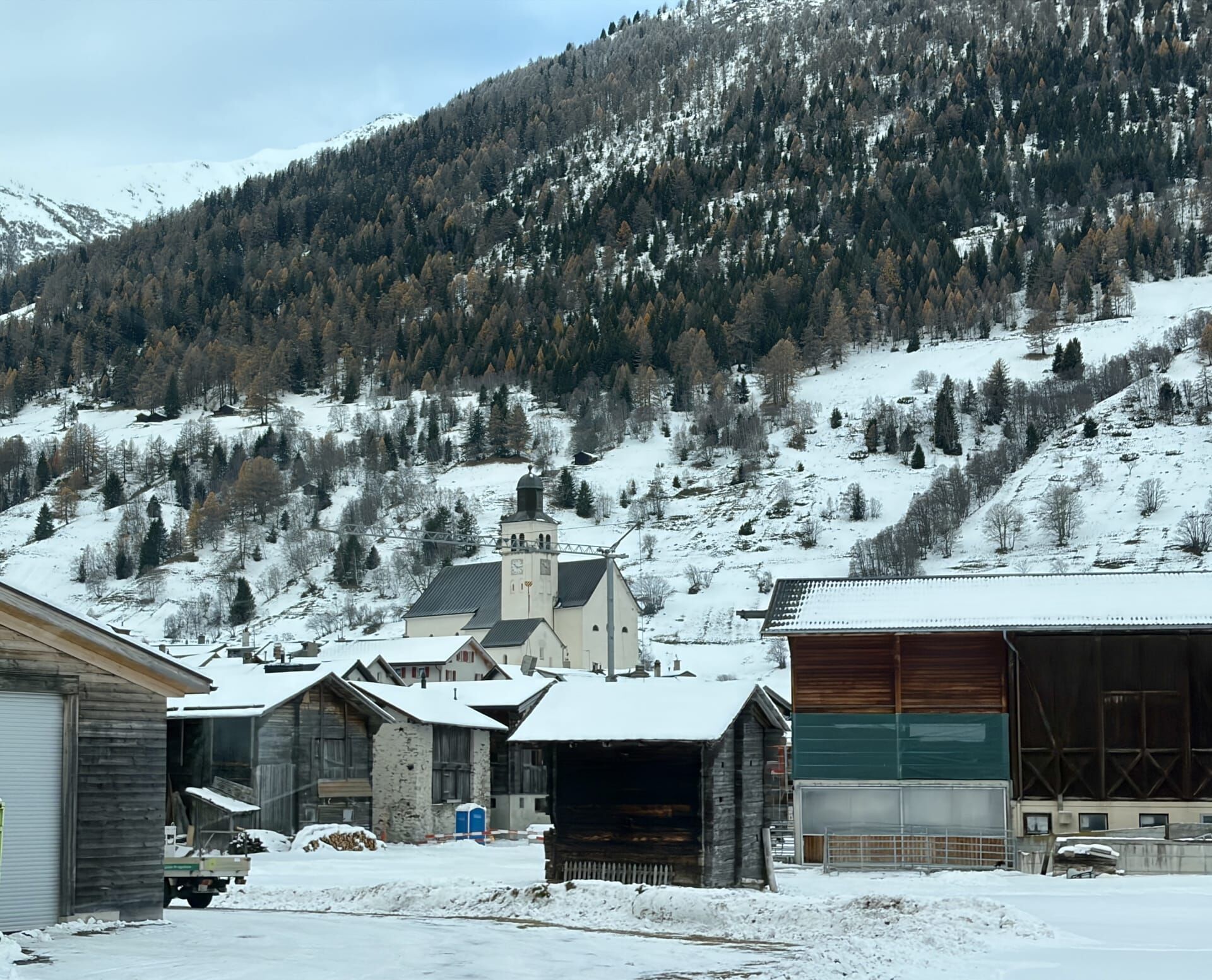
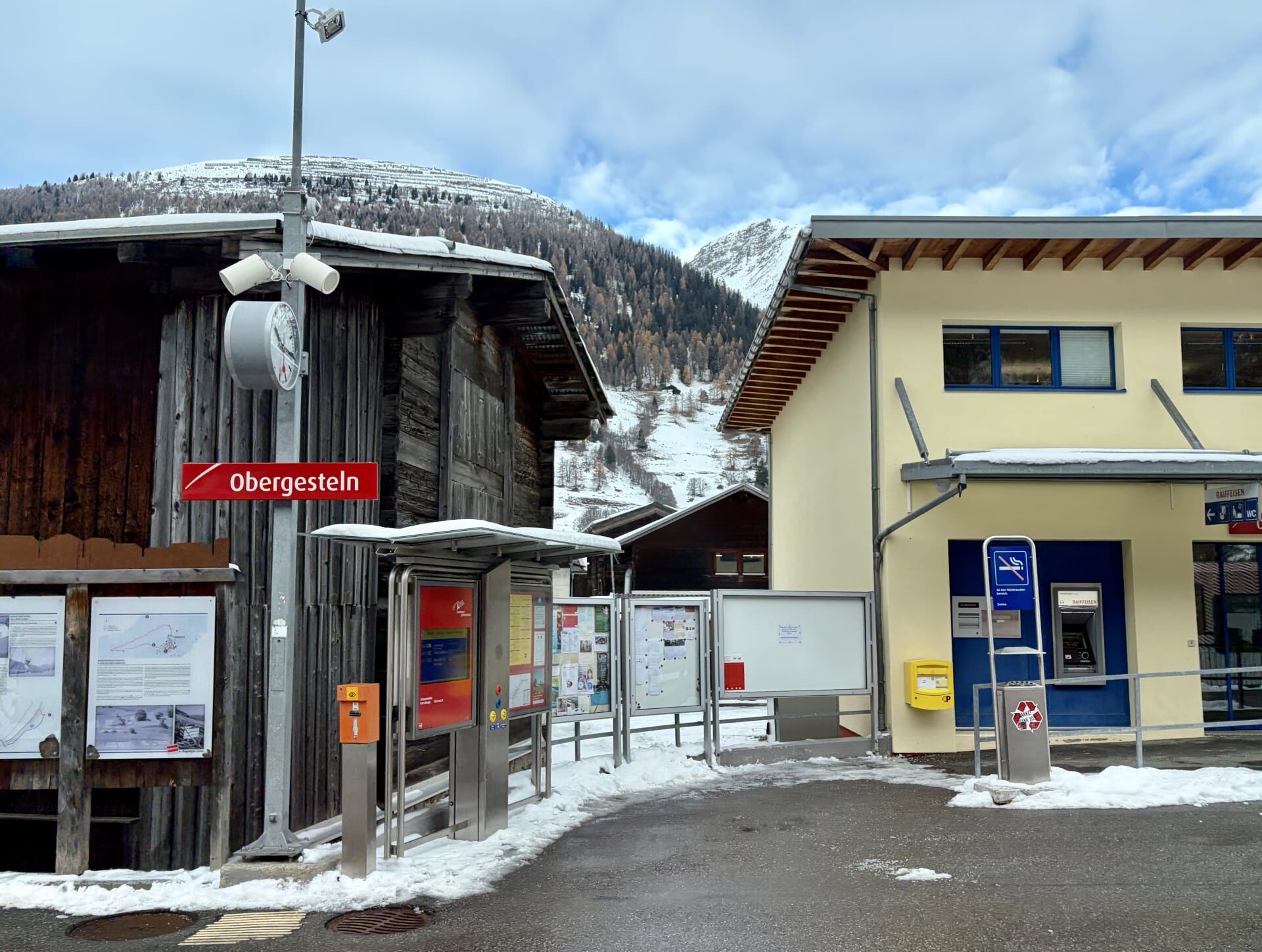
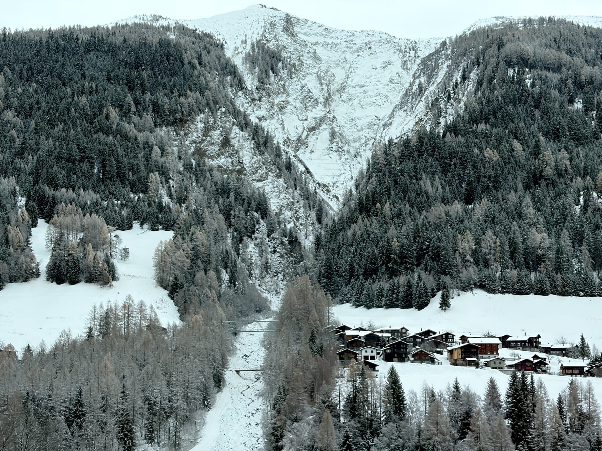
My guidebook informed me that the village at Obergestein (pictured below) looks very different from others in the region because it was rebuilt in stone, rather than the wood traditionally used in surrounding villages, following a fire that destroyed the village in 1868.16
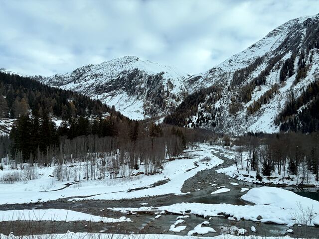
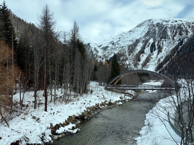
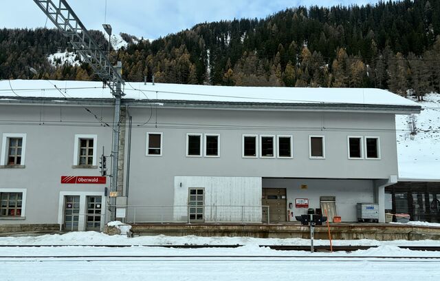
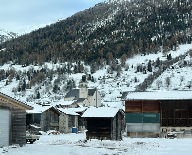
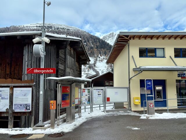
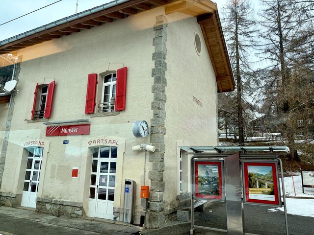
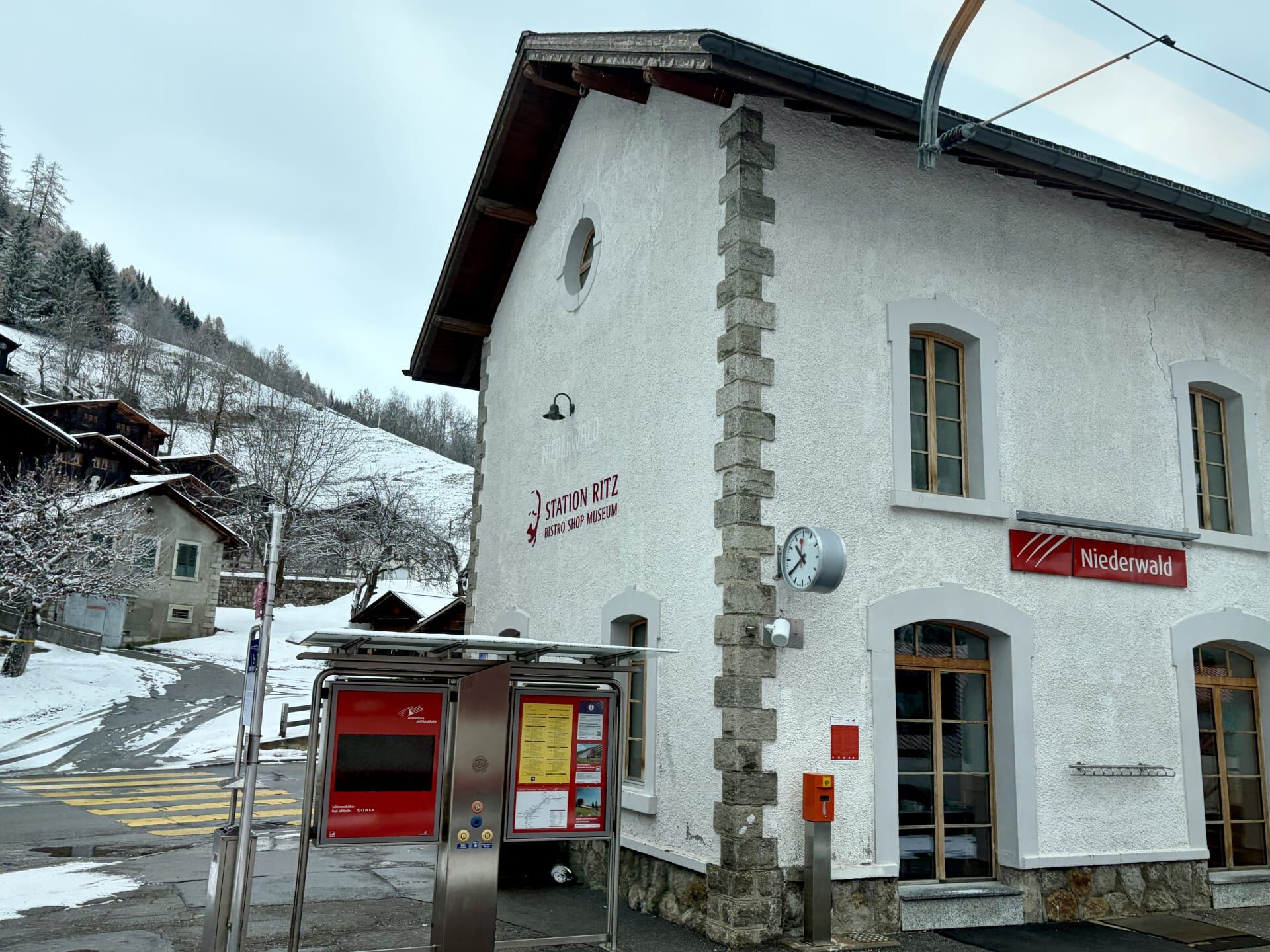
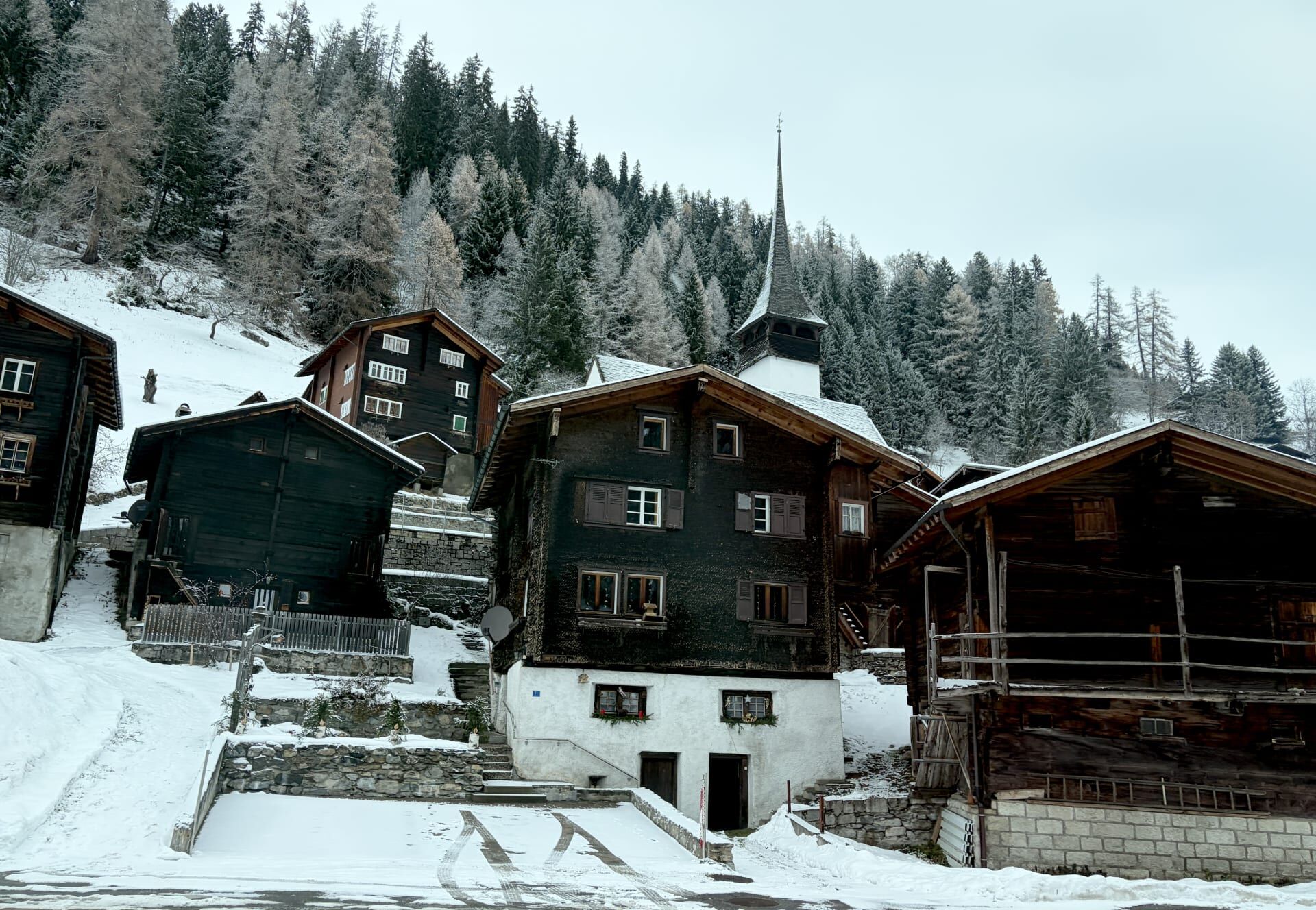
Another interesting site en route was the village of Niederwald which is notable for its distinctive black wooden chalets. Niederwald was the birthplace of the famous hotelier César Ritz.17
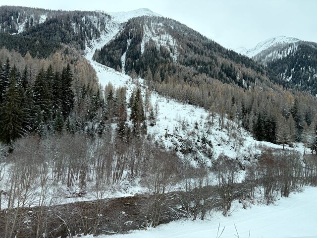
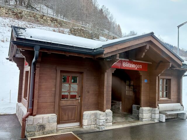
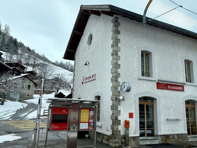
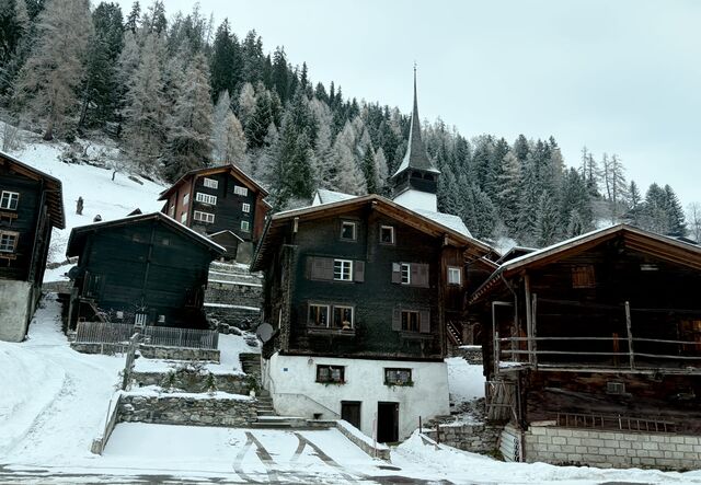
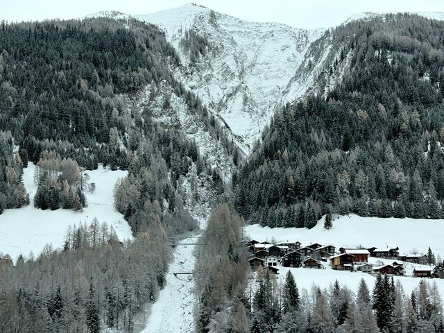
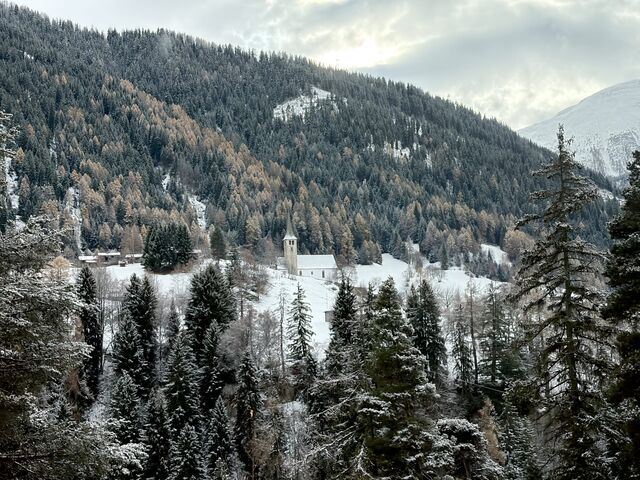
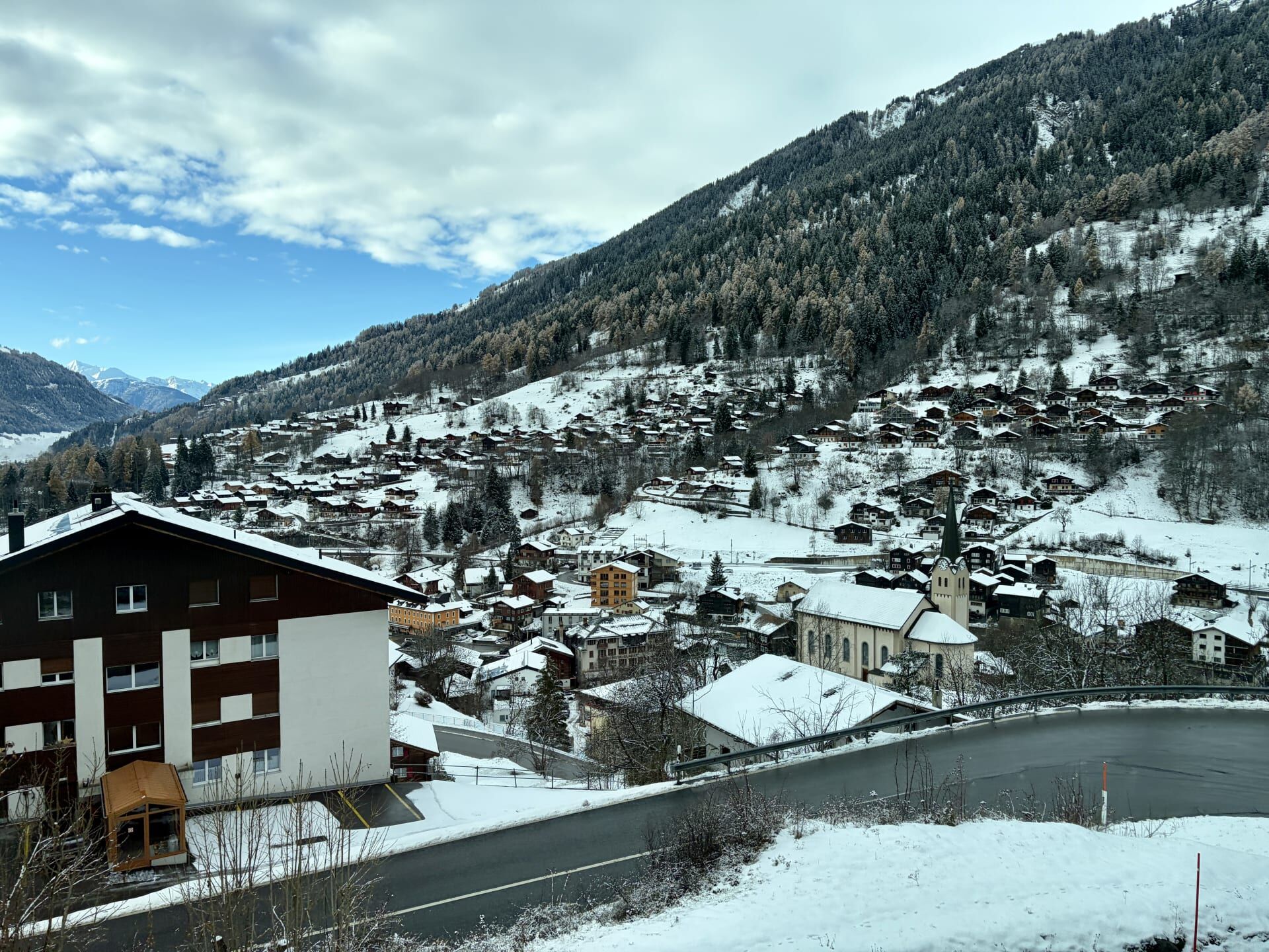
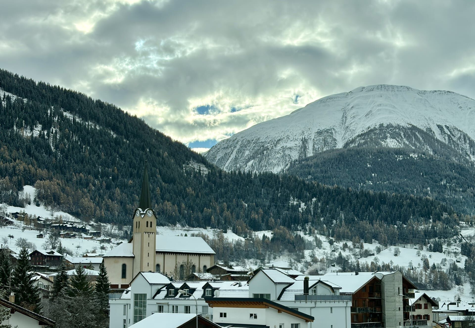
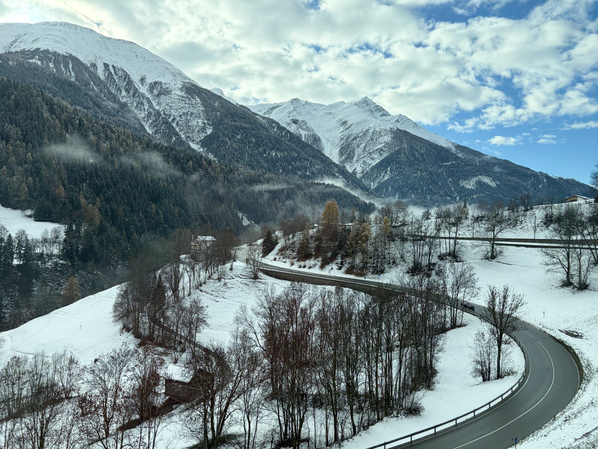
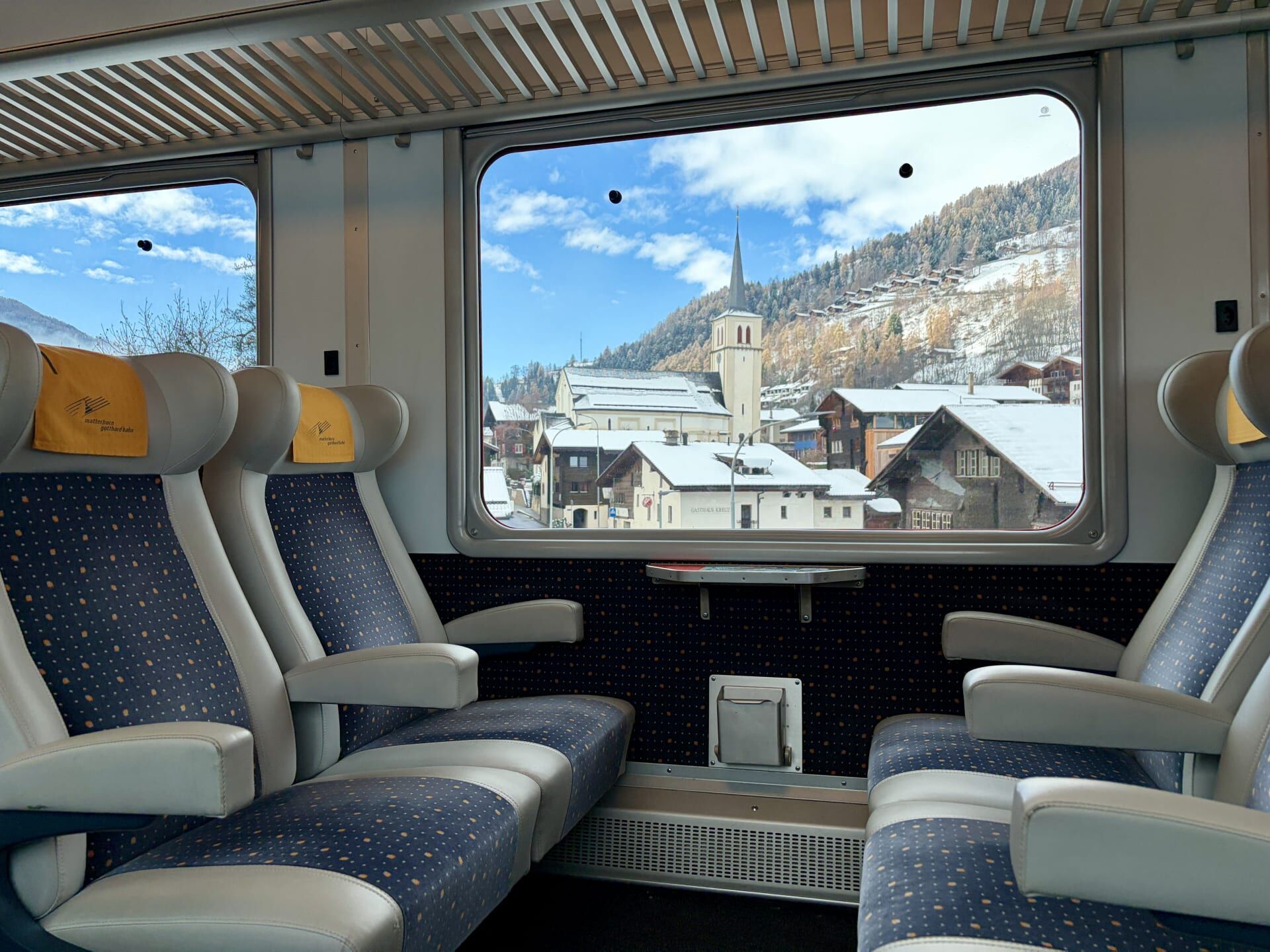
The approach to the village of Fiesch saw the train complete a giant loop around the town as it descended, passing the same church multiple times. My guidebook informed me that a five minute walk from Fiesch station is a cable car to Eggishorn, from which there are outstanding views of Europe’s largest glacier, the Aletsch Glacier, which can also be seen from Jungfraujoch18 (you can read about my train journey to Jungfraujoch here).
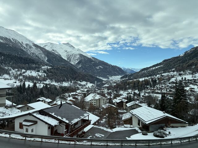
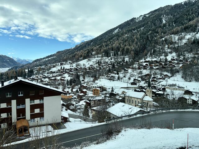
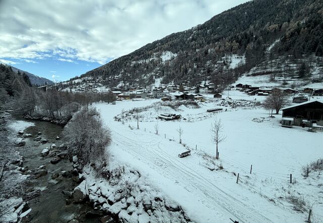
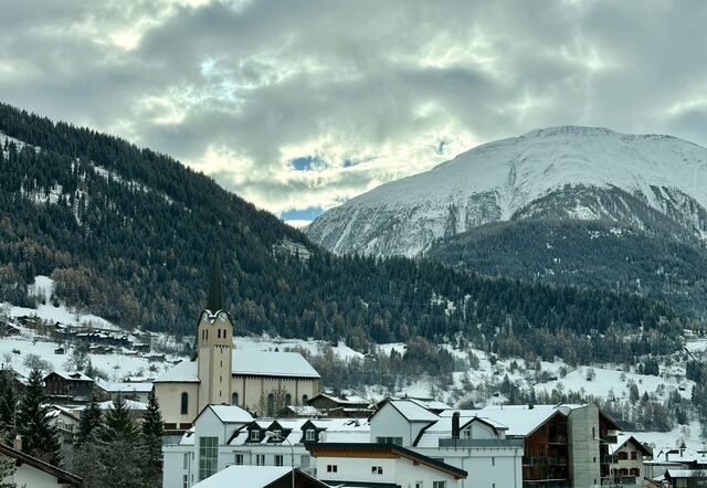
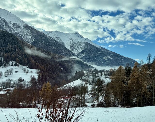
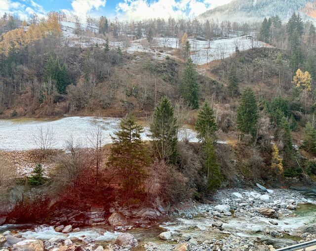
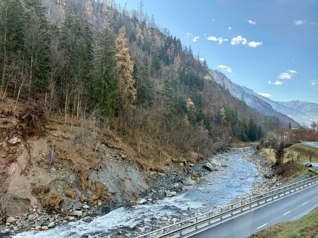
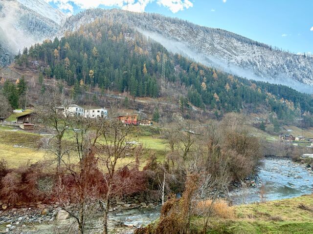
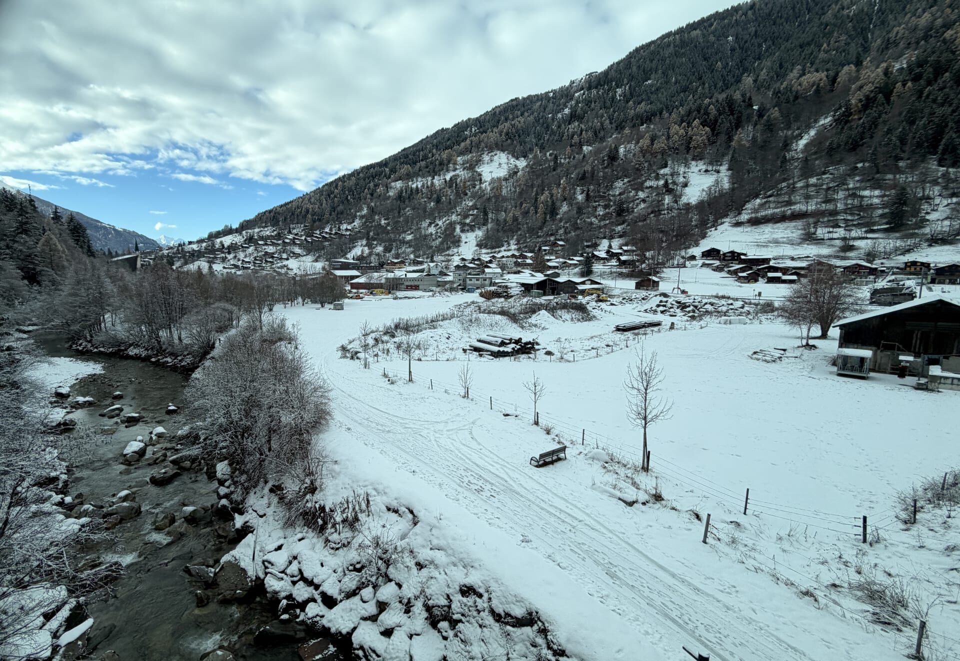
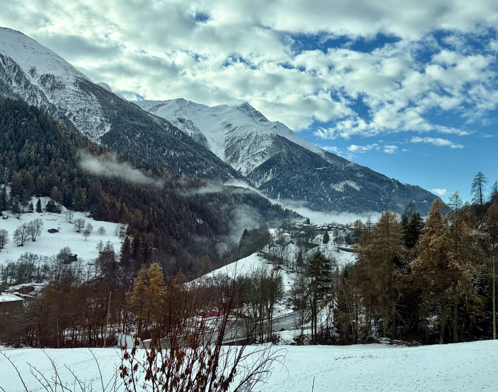
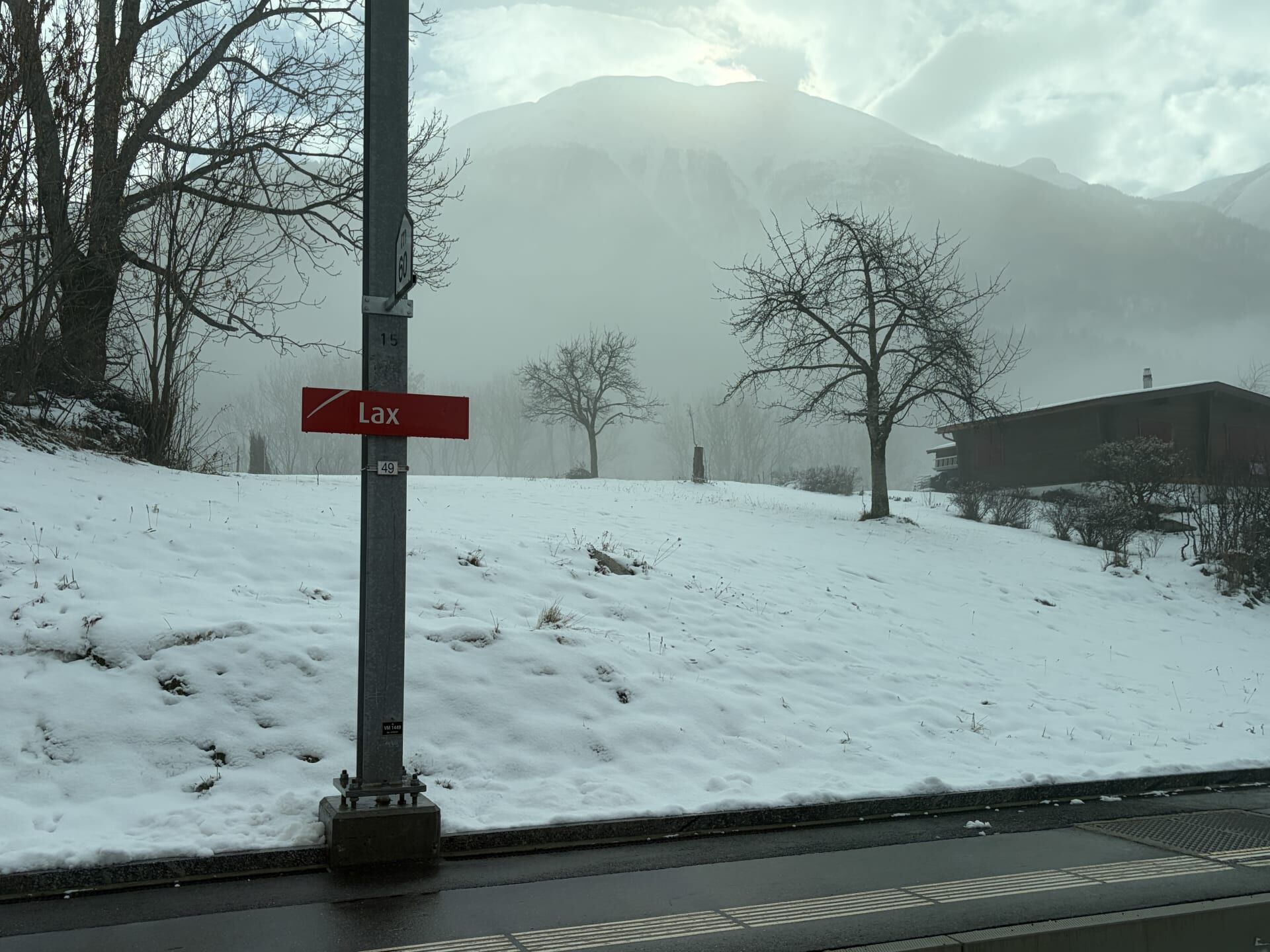
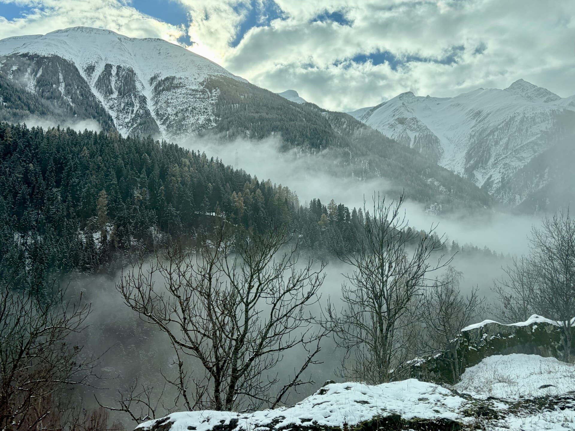
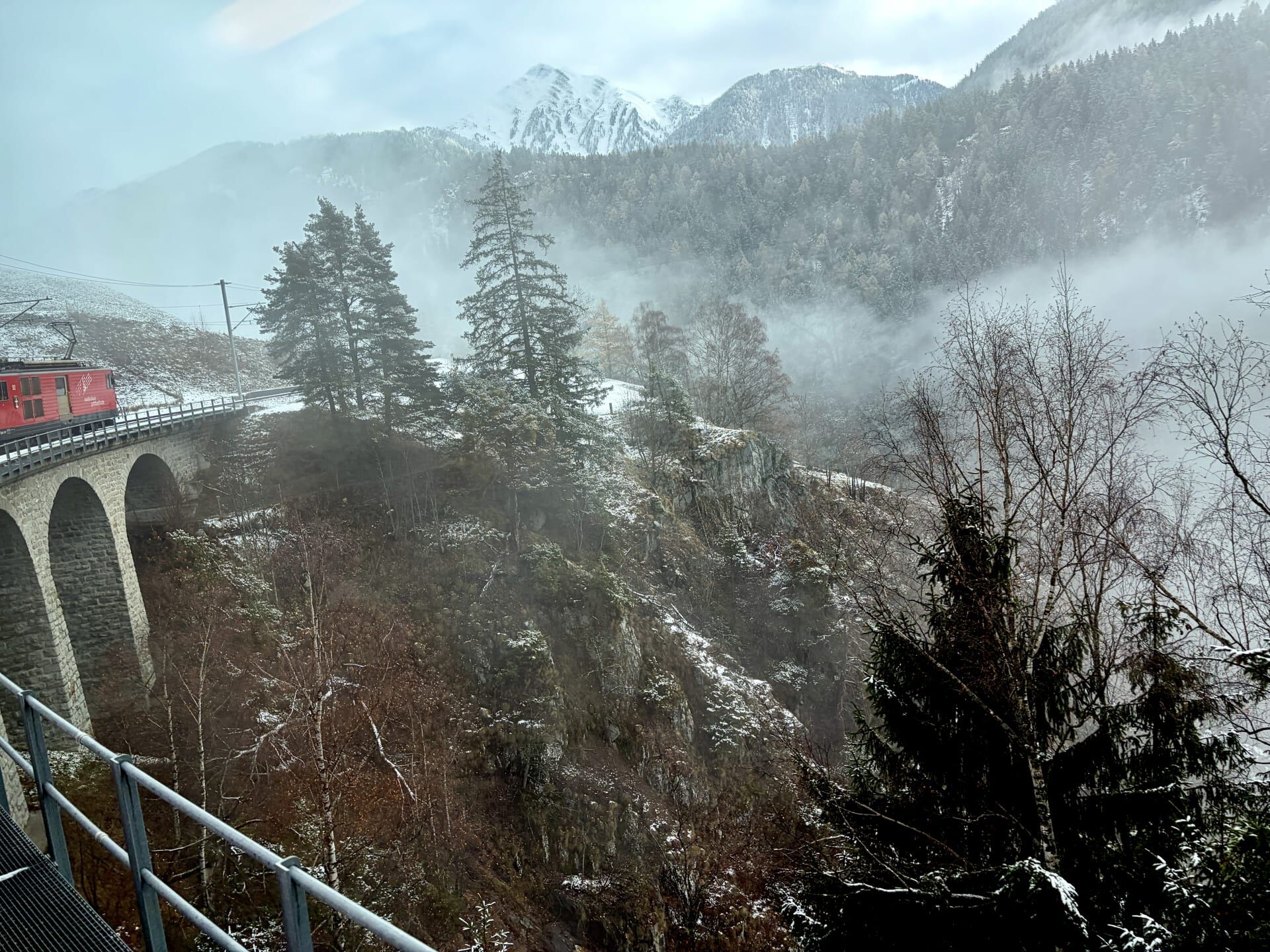
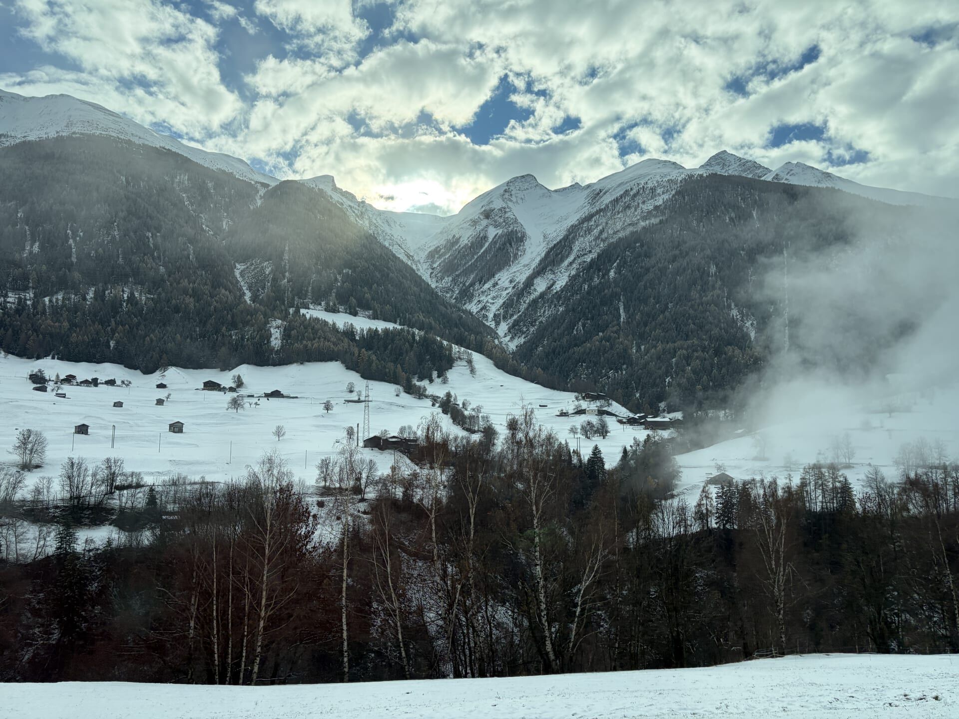
Near the village of Lax, the train entered a snowstorm and then thick fog. This was one of my favourite parts of the journey, with the conditions making the scenery feel very atmospheric.
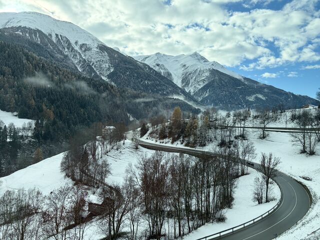
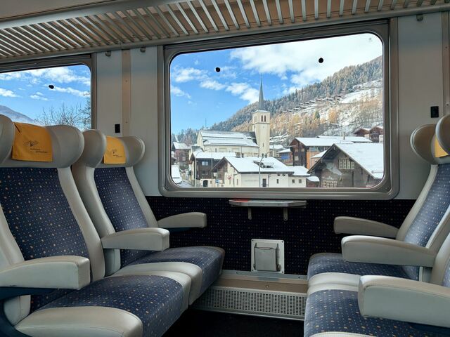
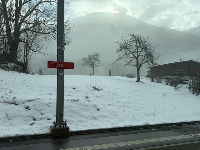
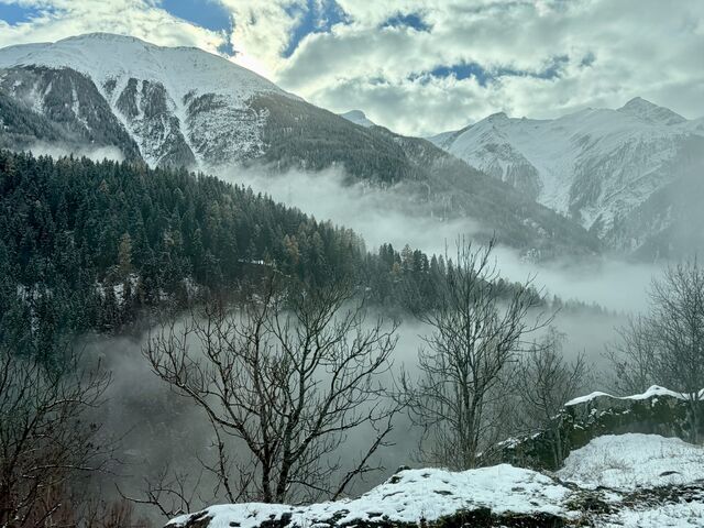
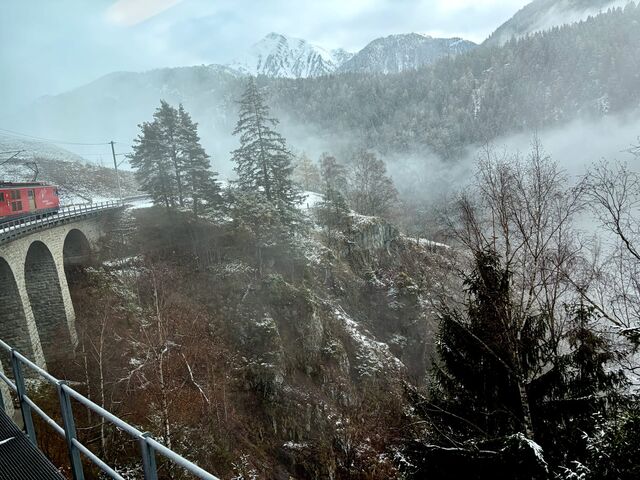
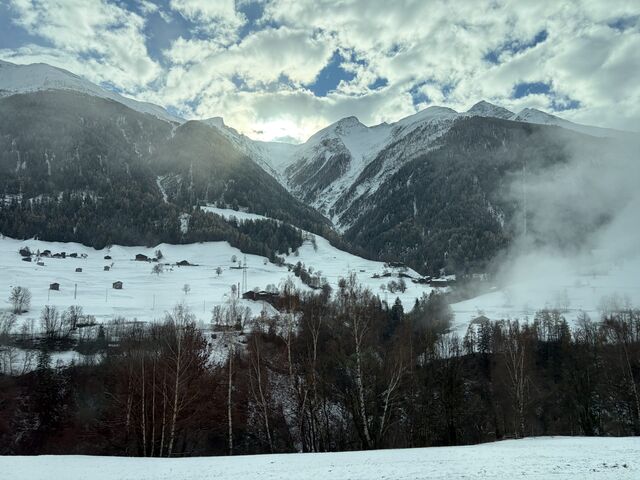
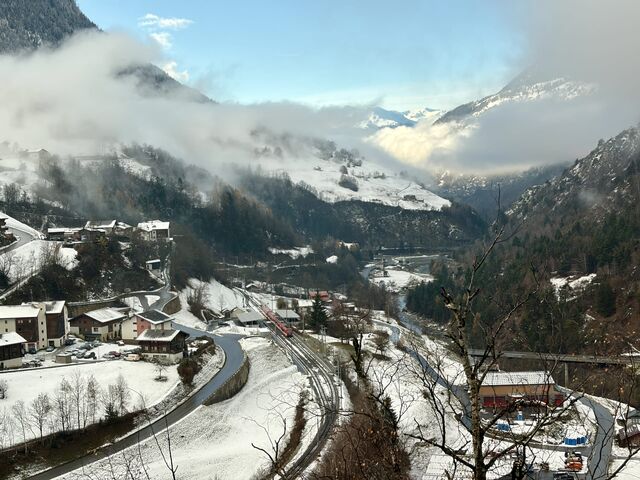
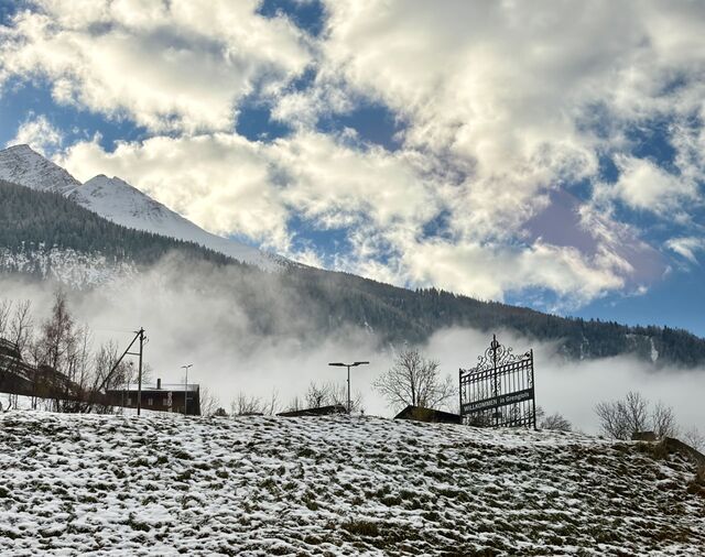
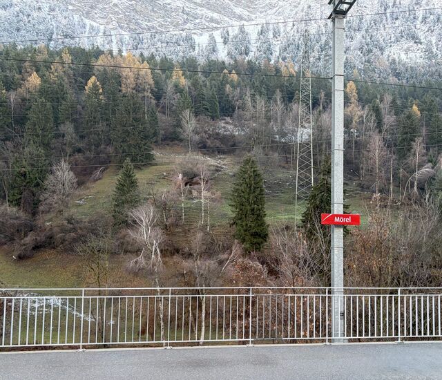
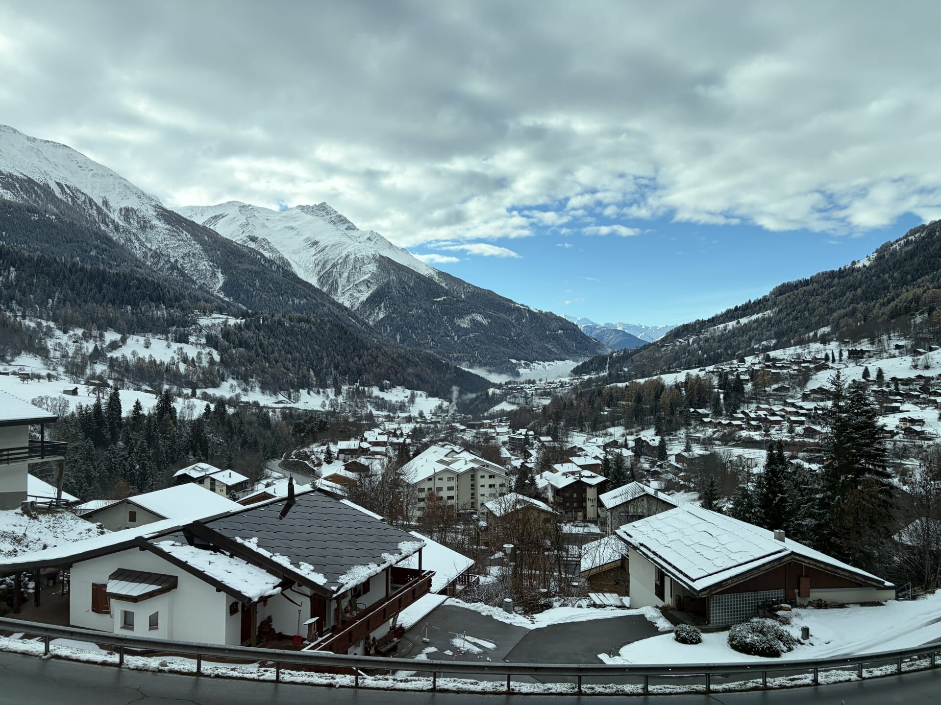
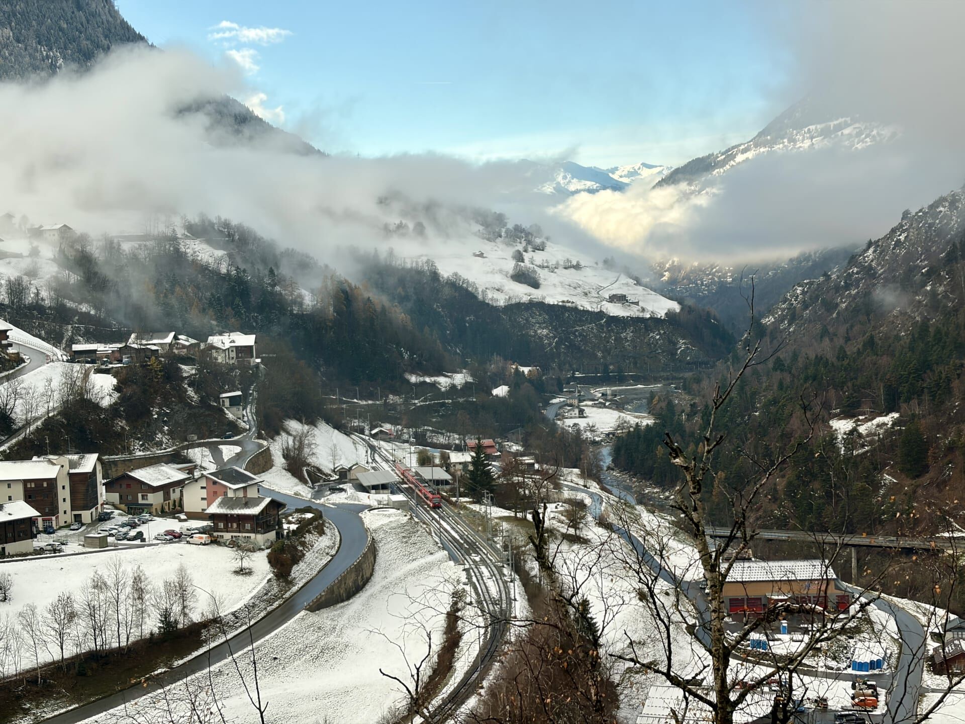
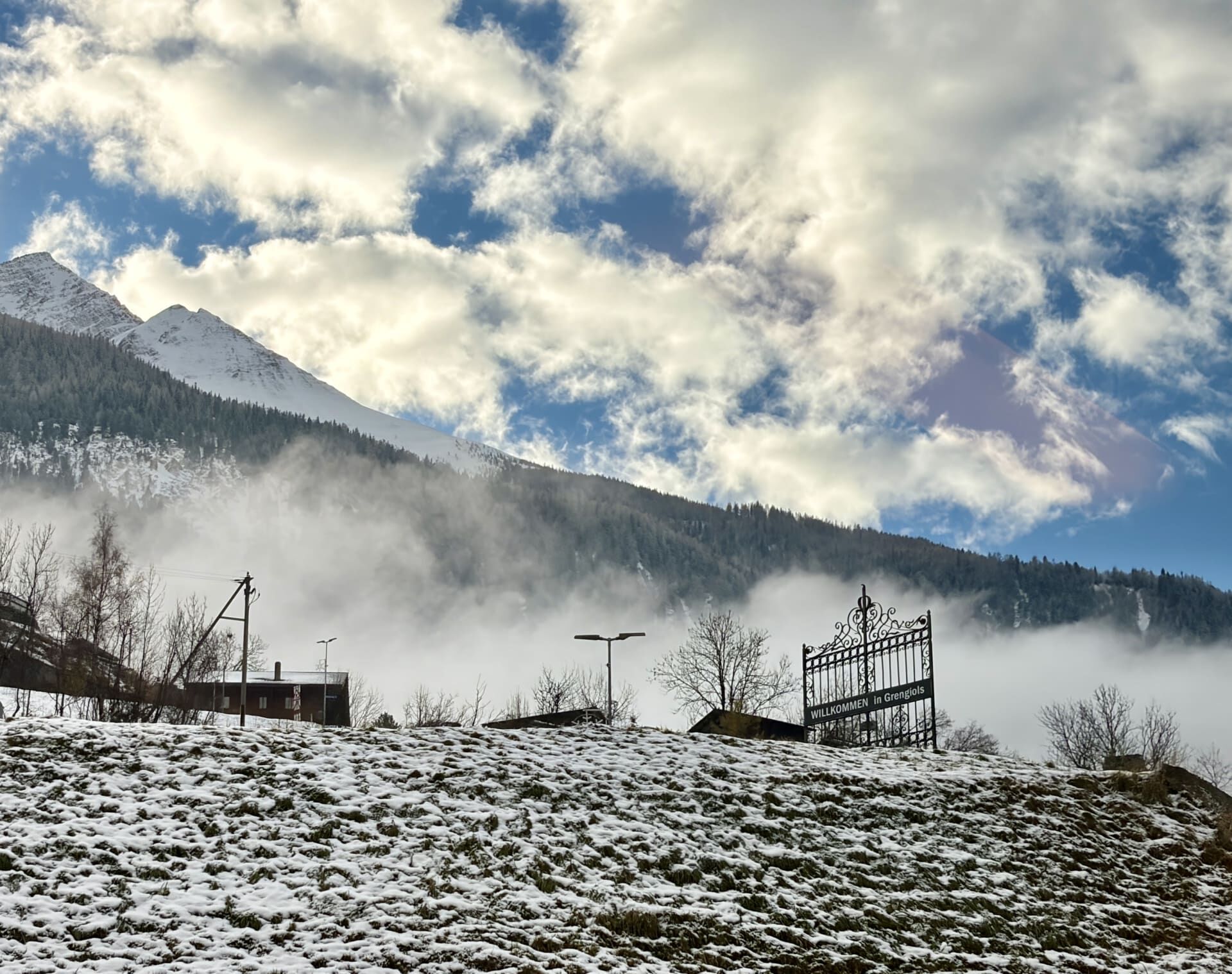
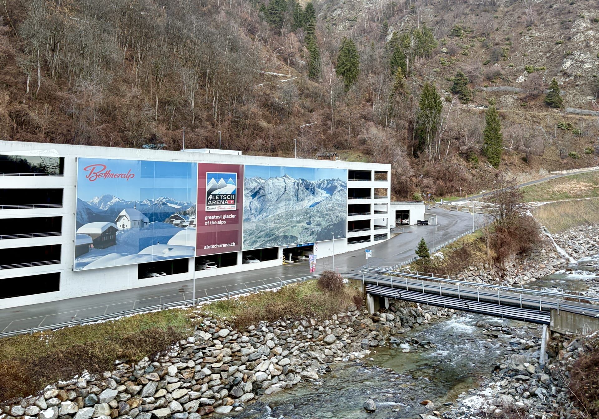
As we descended towards the village of Grengiols, the railway station could be seen below us. Above us, on a rocky shelf overlooking the Rhône Valley, lay the resort villages of Riederalp, Bettmeralp and Fiescheralp, which together form the largest car-free area in Europe.19
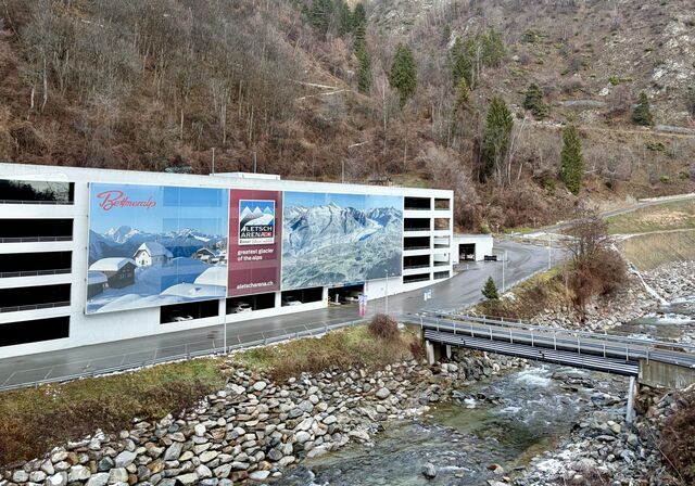
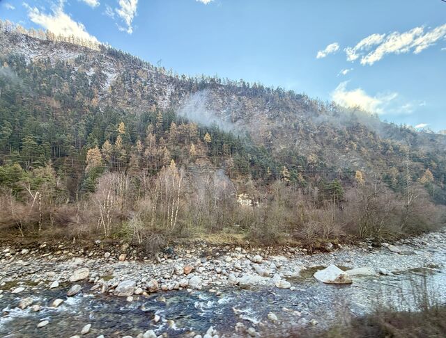
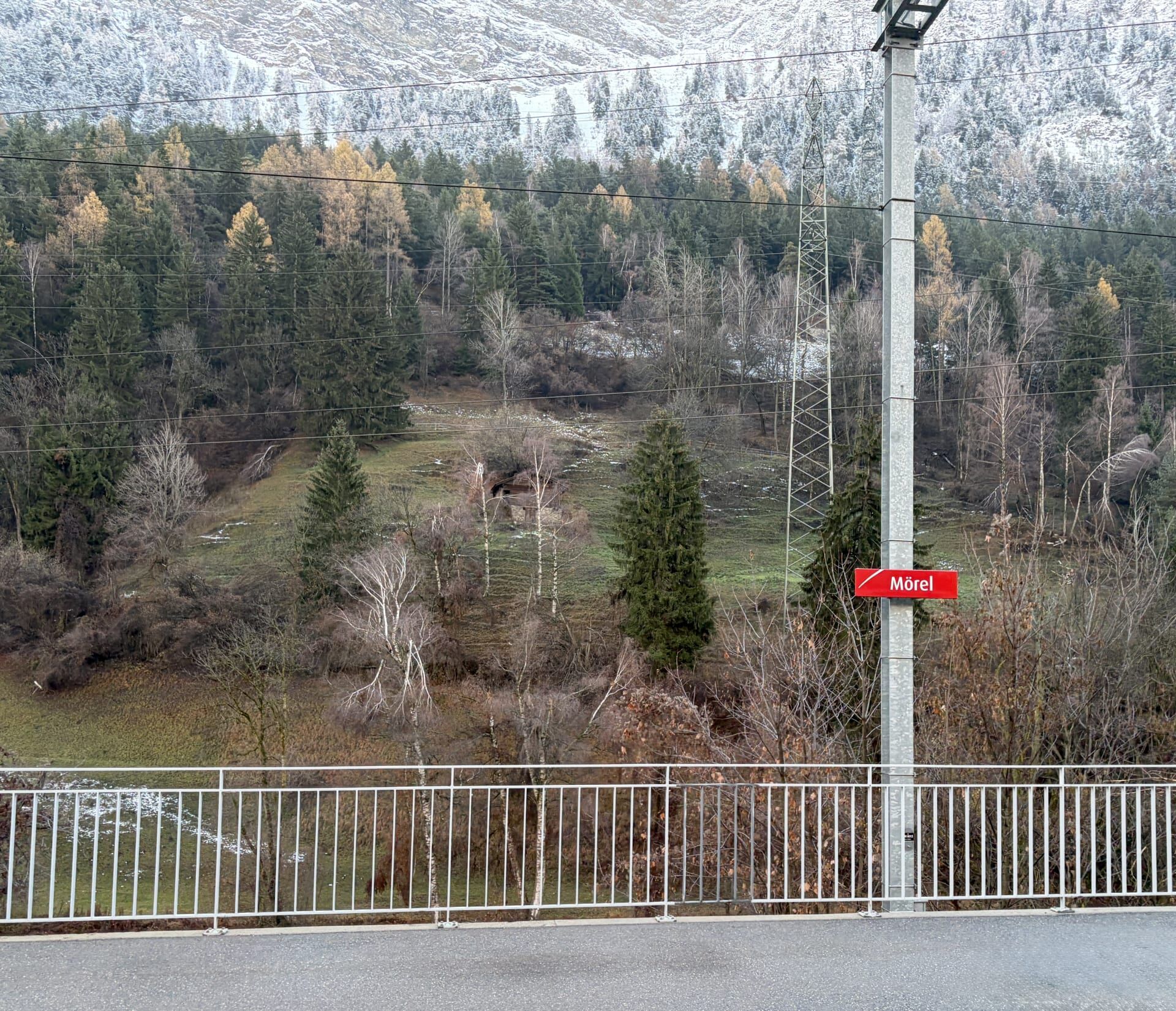
We then travelled through a final spiral tunnel before reaching the town of Brig.
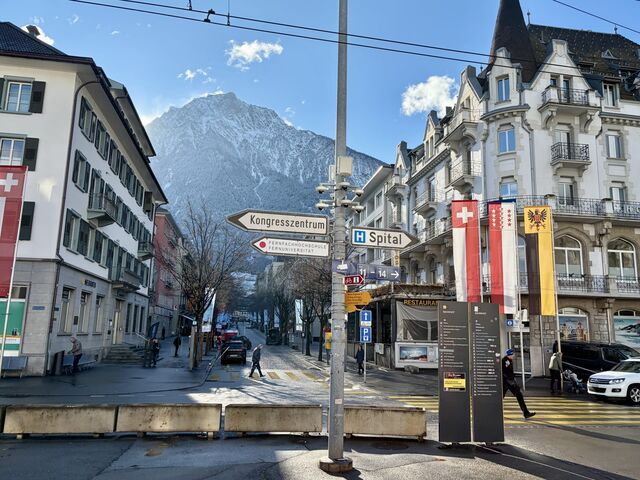
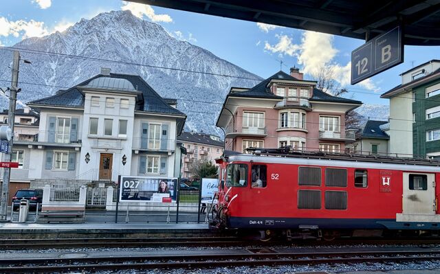
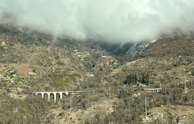
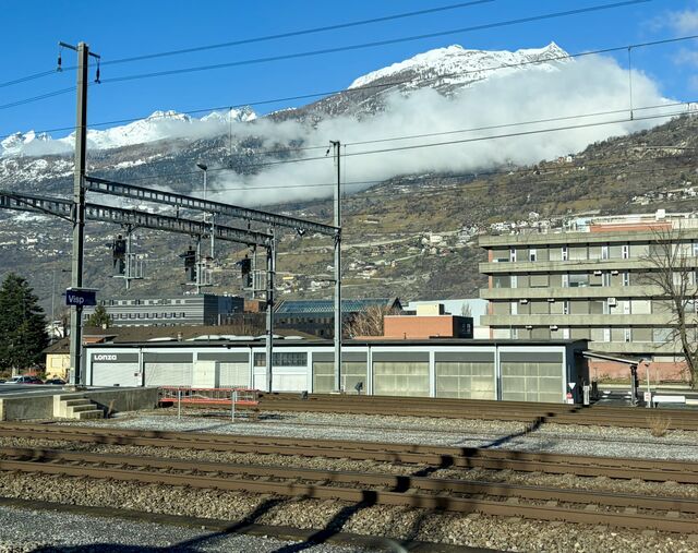
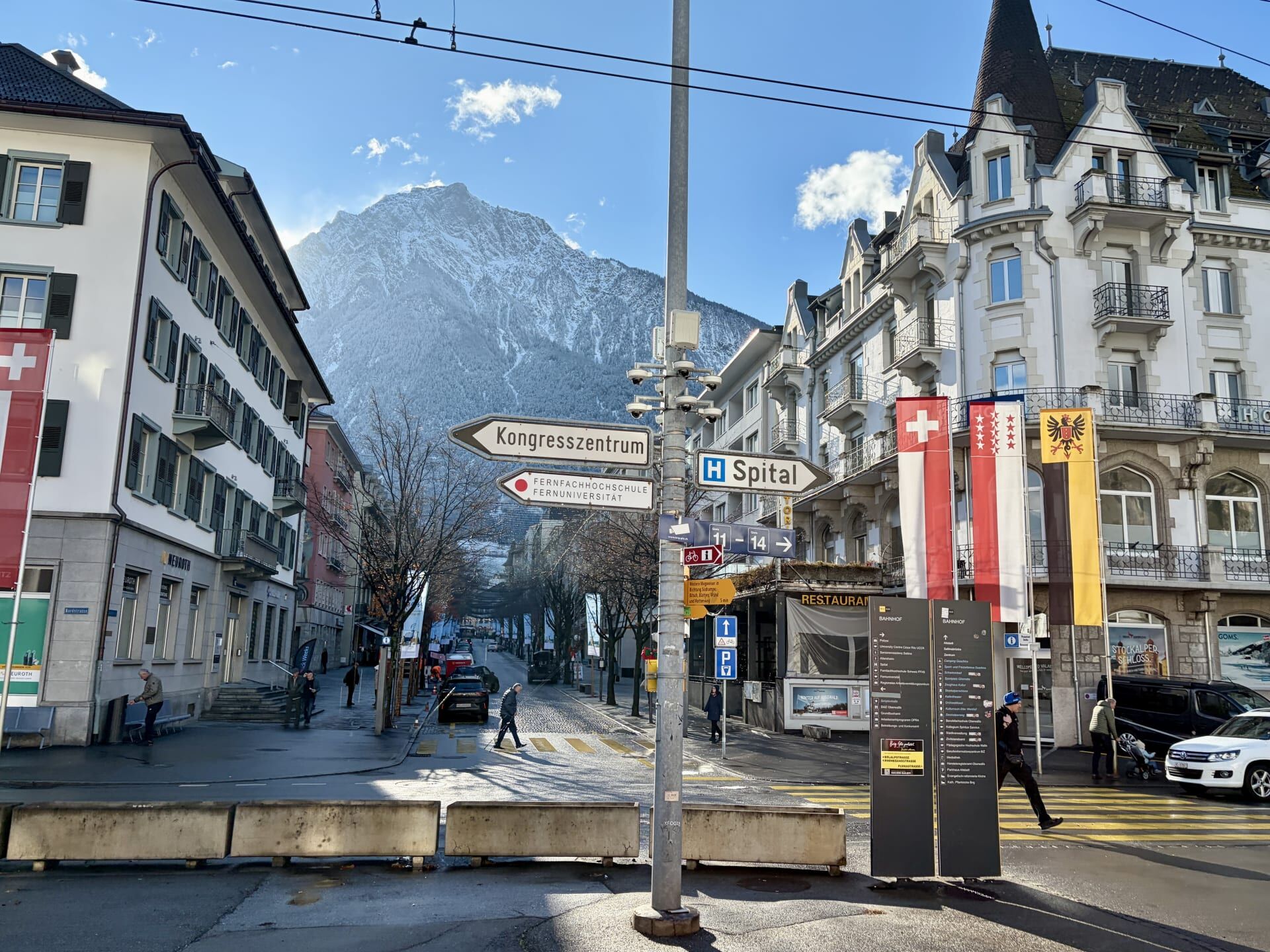
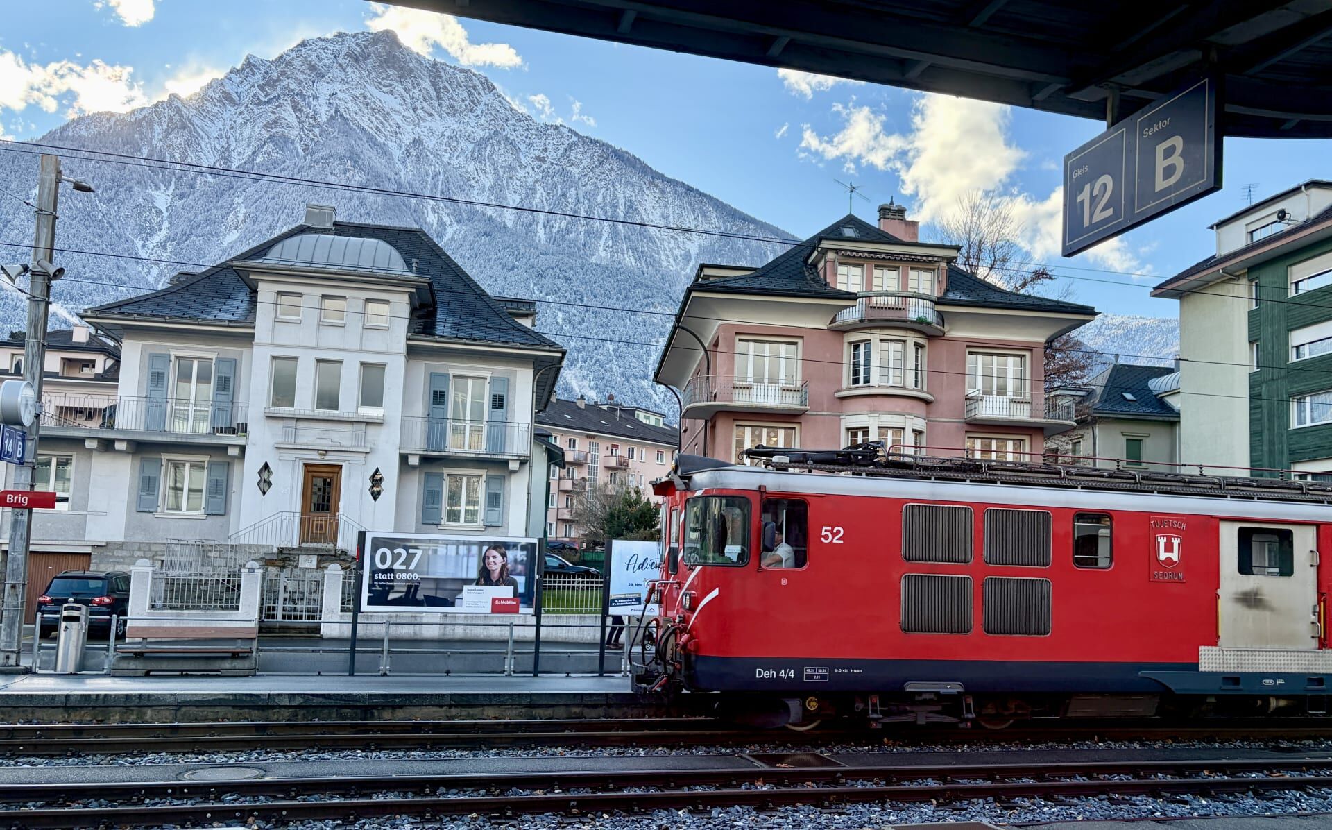
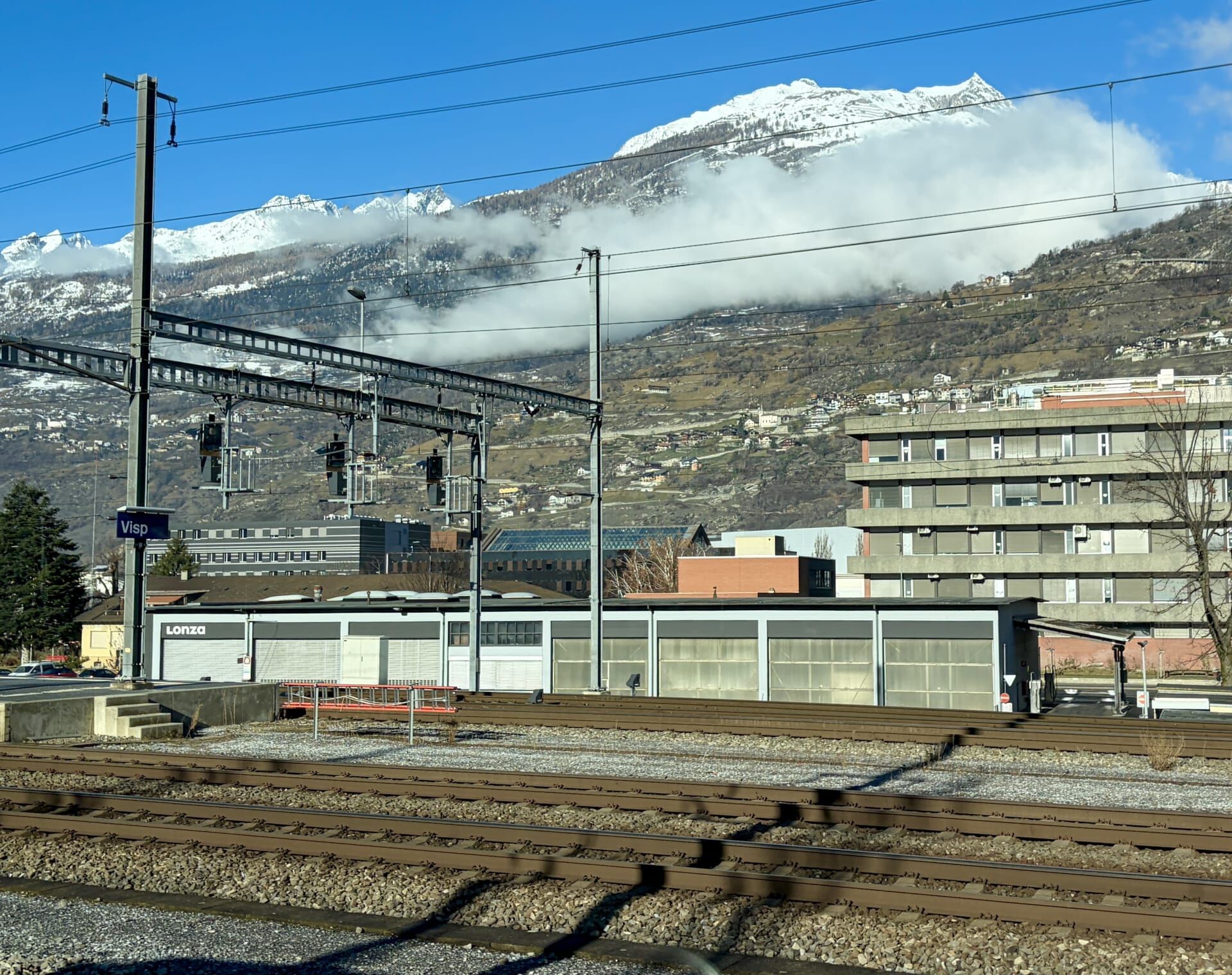
For some reason that I can’t recall, I had to alight at Brig to change for a different train to Visp. Shortly before arriving at Visp Station, I spotted the Lötschberg Railway to the north, which I was planning to travel on the following week.
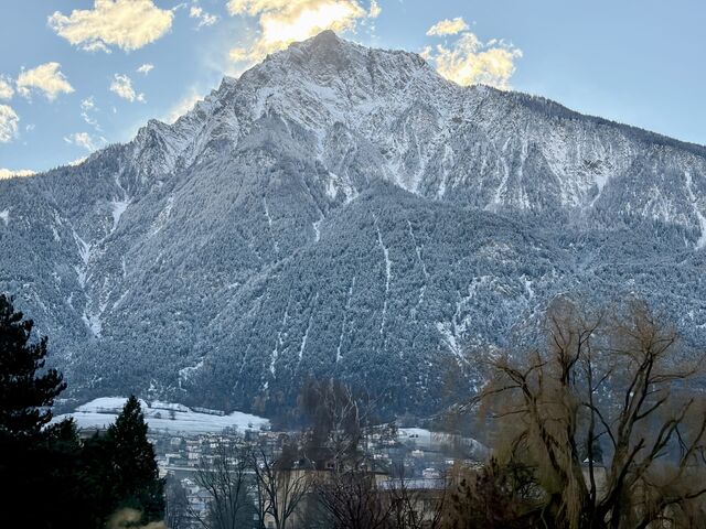
Visp to Zermatt
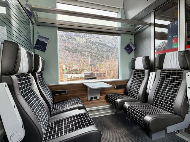
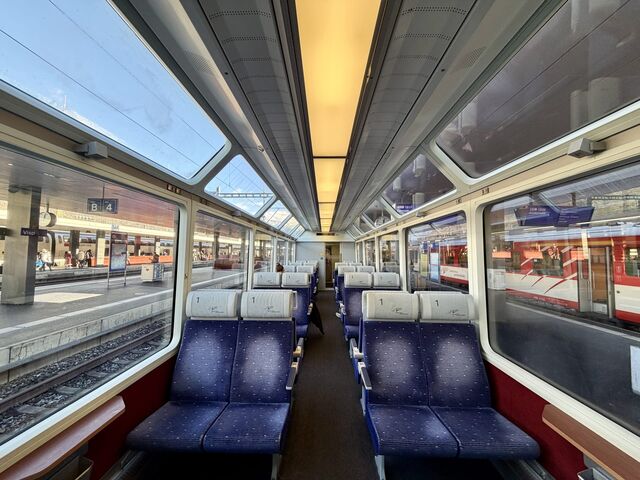
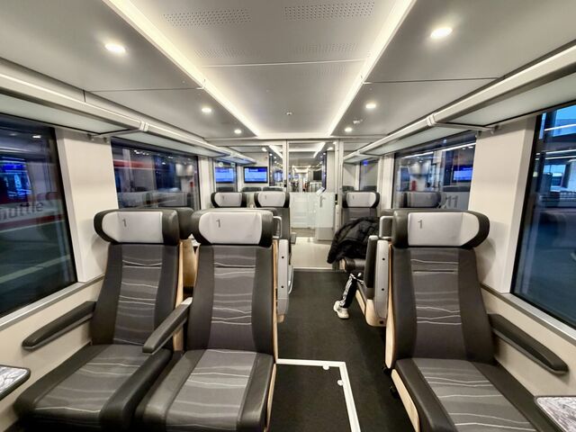
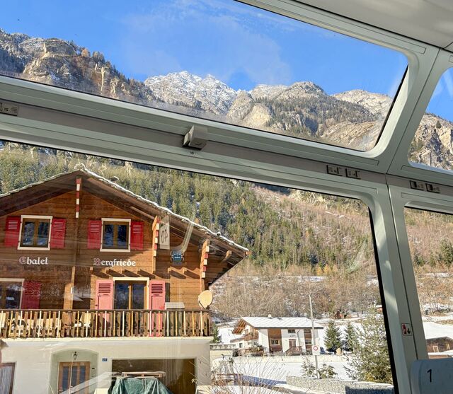
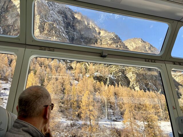
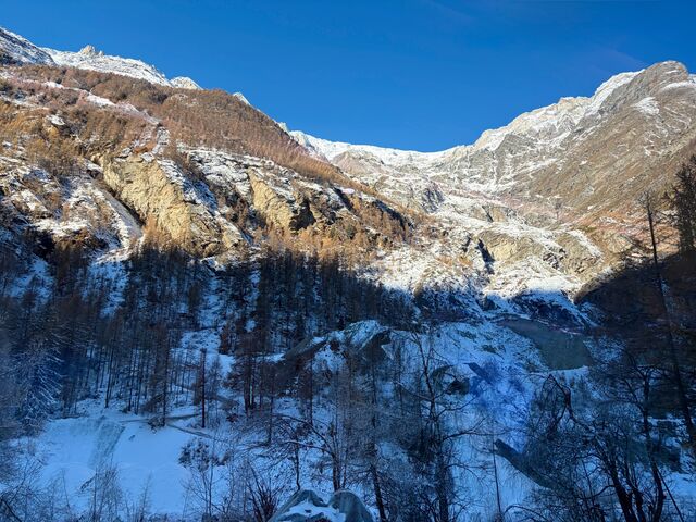
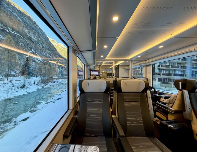
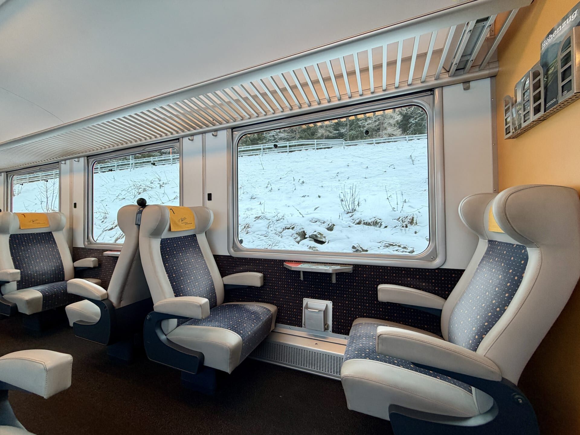
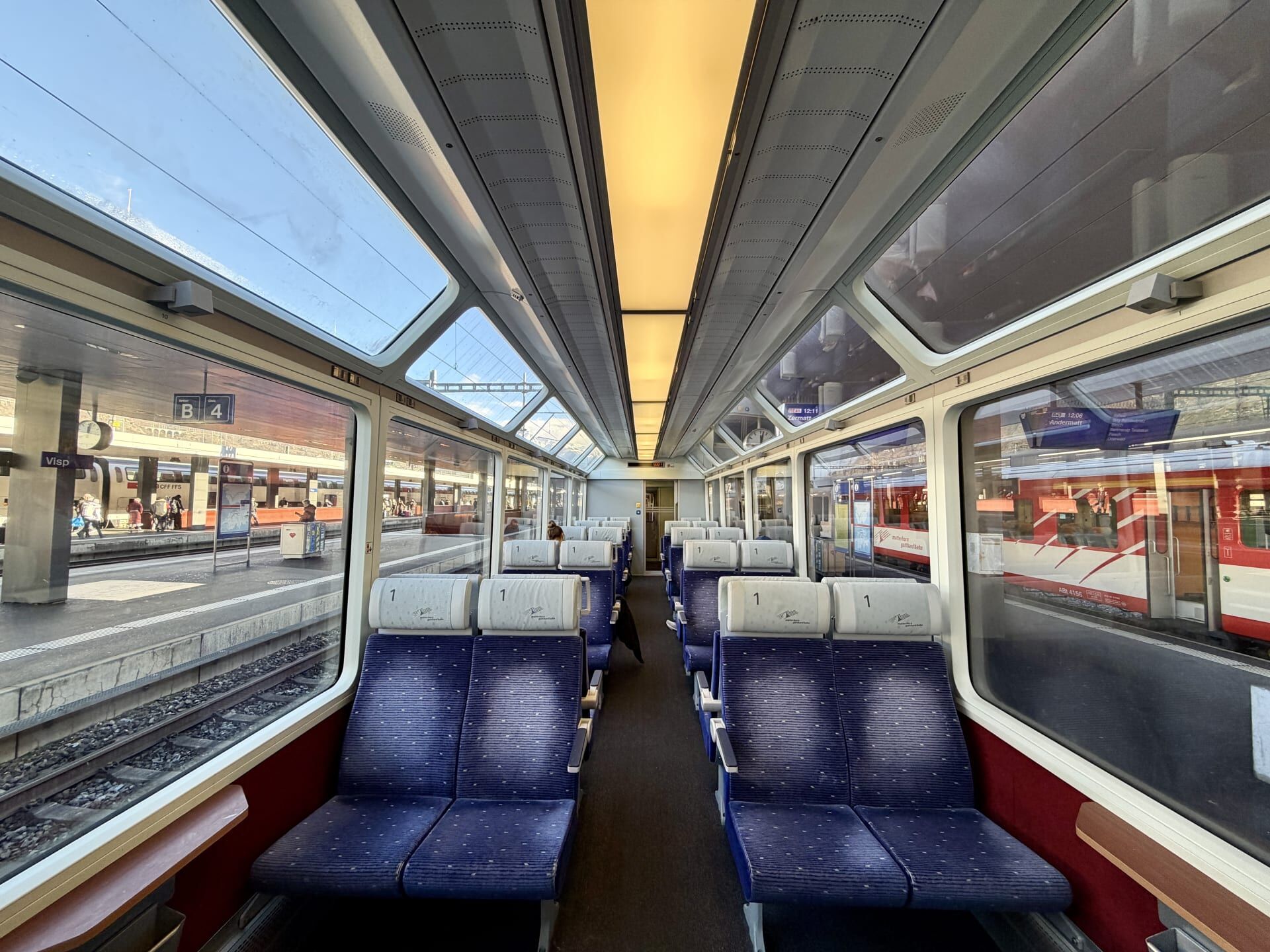
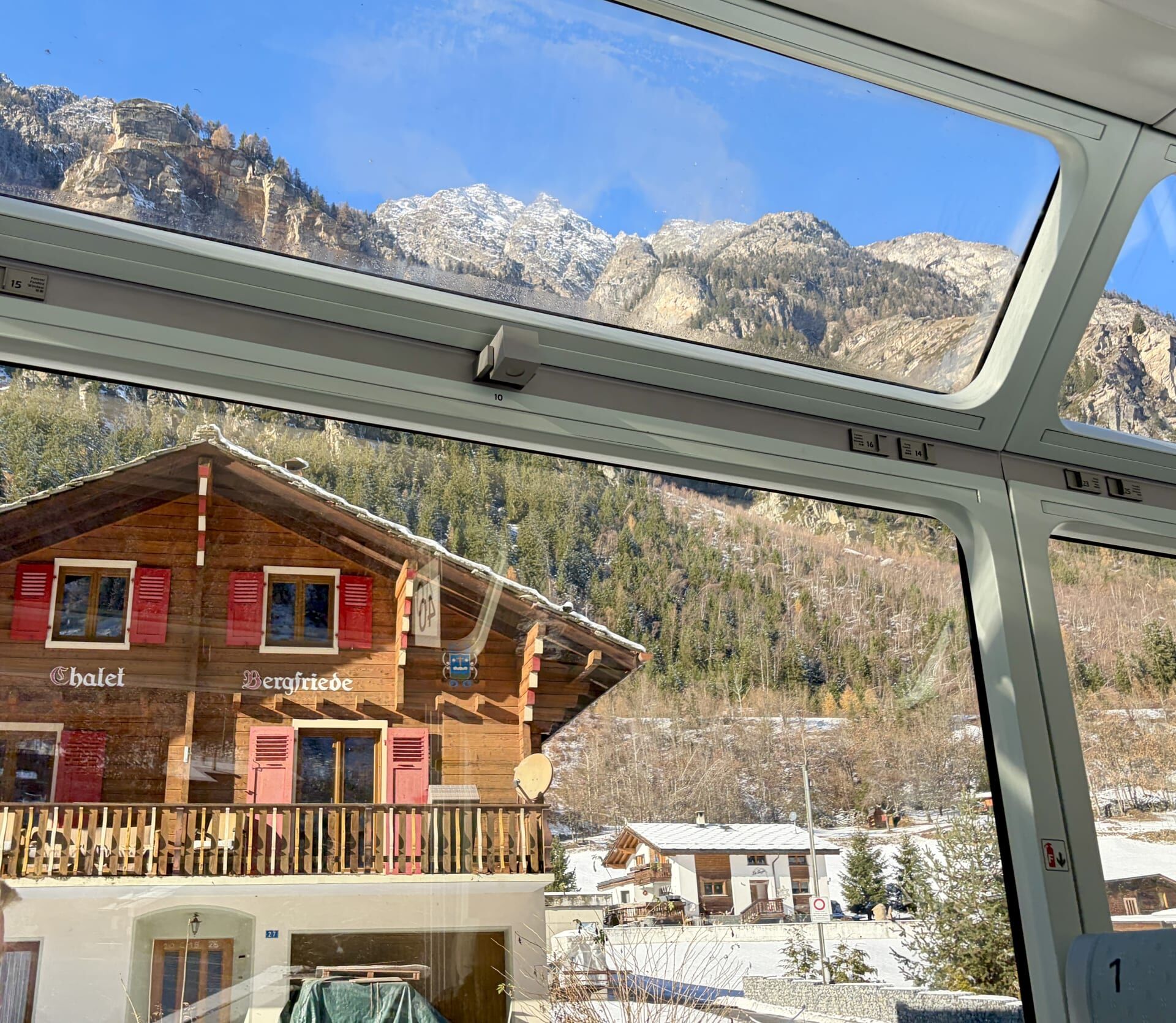
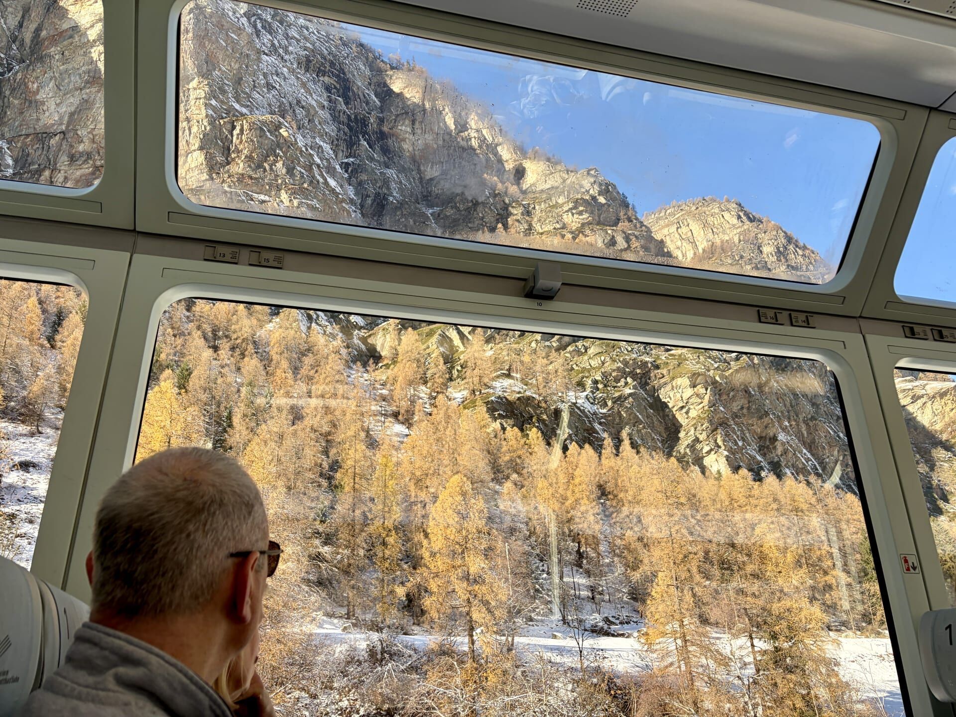
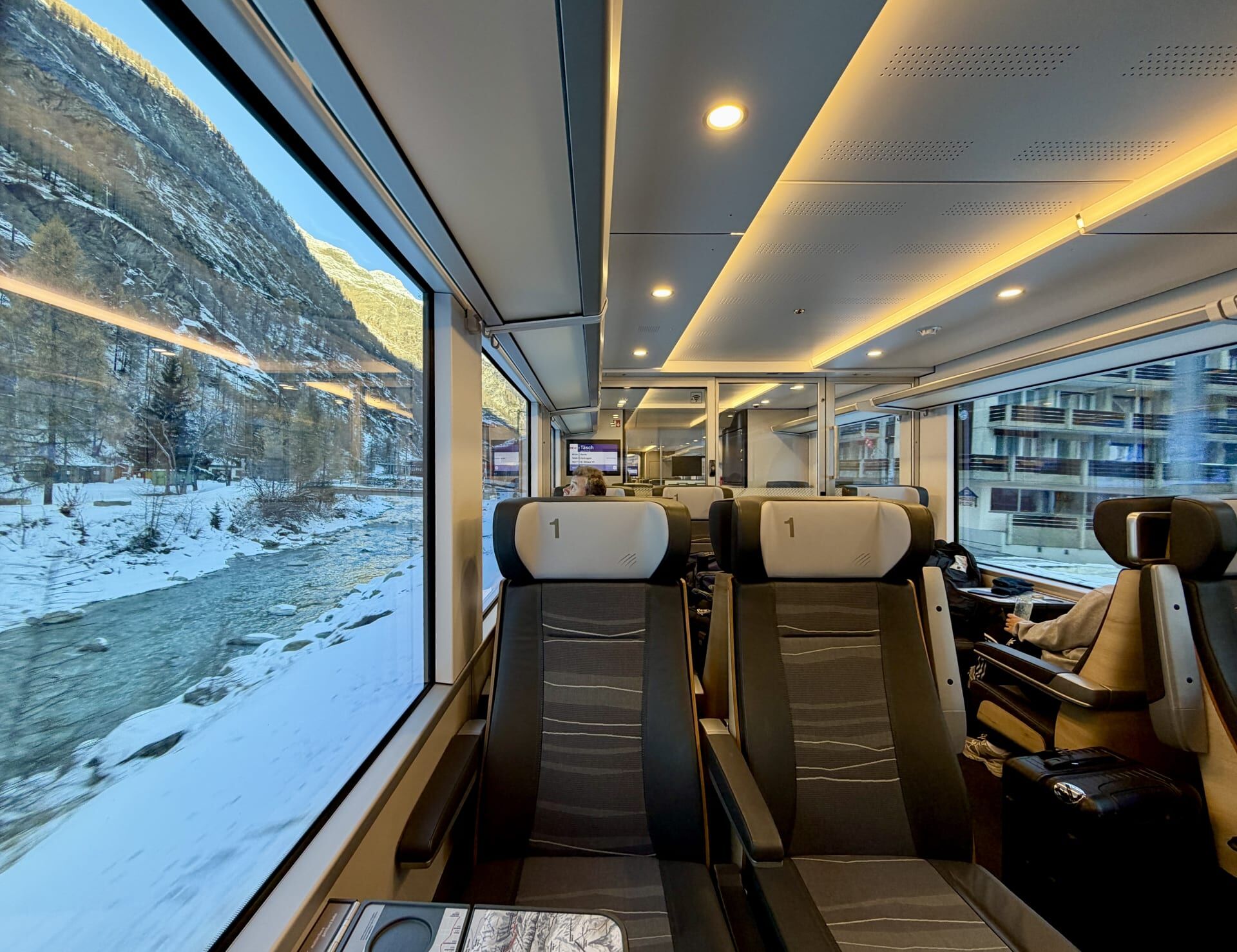
At Visp Station, I changed for my final train to Zermatt, which took just over an hour. I experienced two different types of carriages on this route (when travelling to Zermatt and then back in the other direction the following day). One was an older carriage, with windows extending to the ceiling, which offered excellent views of the surrounding mountains. The newer carriages unfortunately had smaller windows. For this portion of the journey, the best views were on the right-hand side of the train initially, before shifting to the left further along the line. While it is difficult to single out the most impressive scenery from the 8 hour journey along the Glacier Express route, I thought that the section between Visp and Zermatt was every bit as spectacular as the rest.
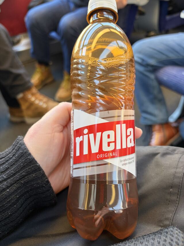
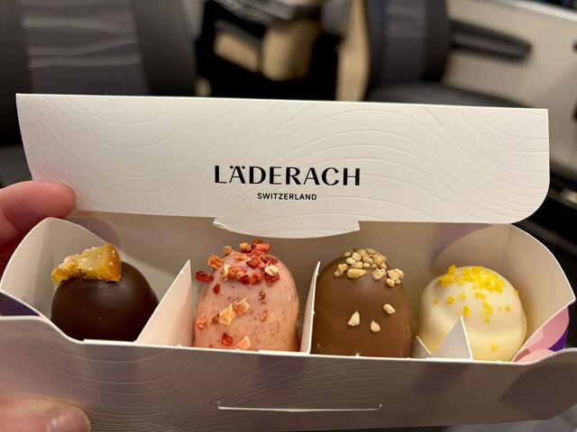
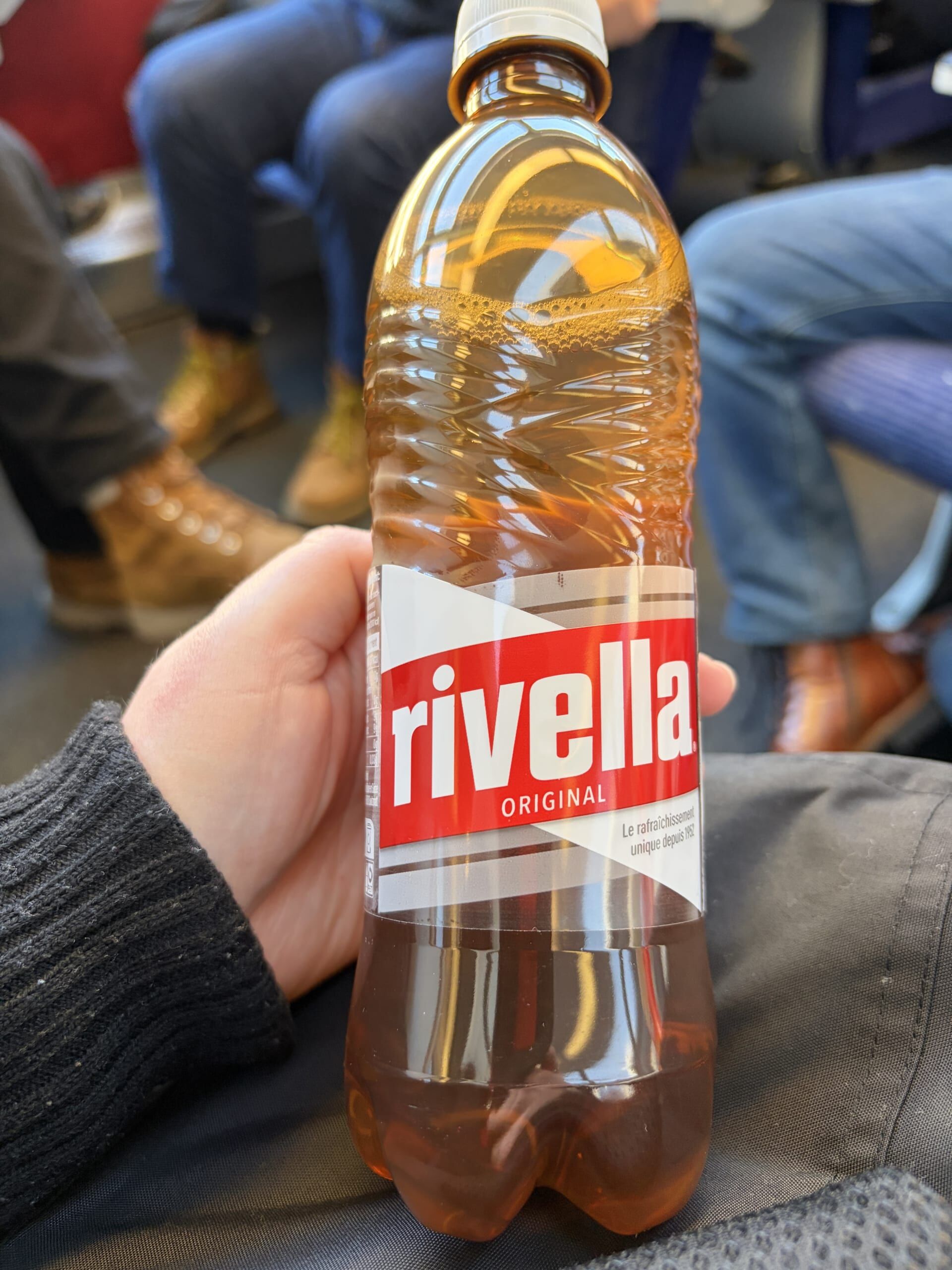
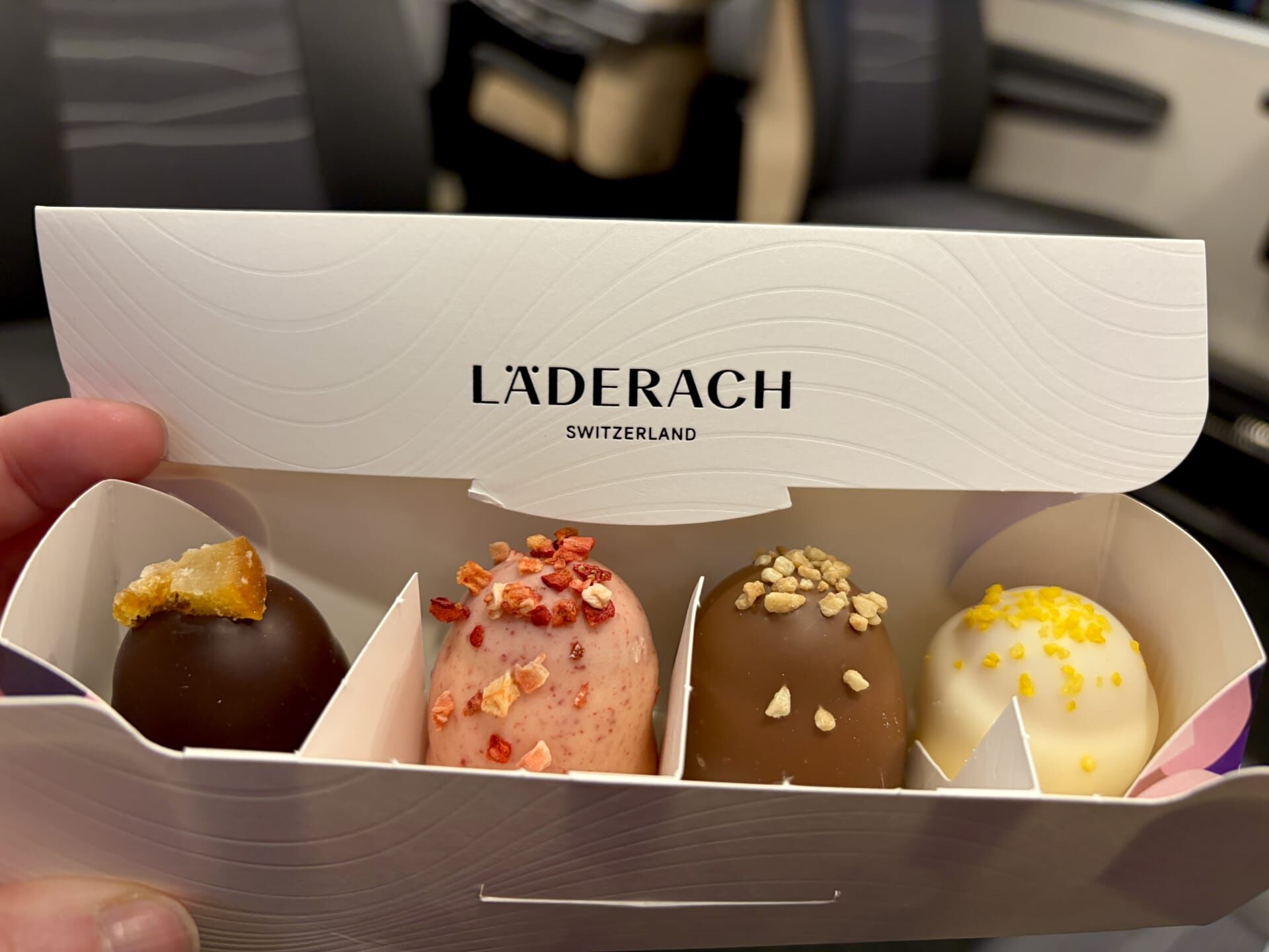
I took the opportunity to sample some Swiss snacks during the journey.
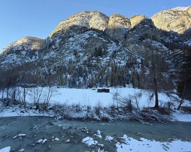
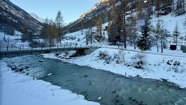
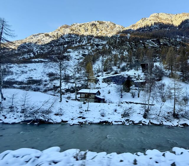
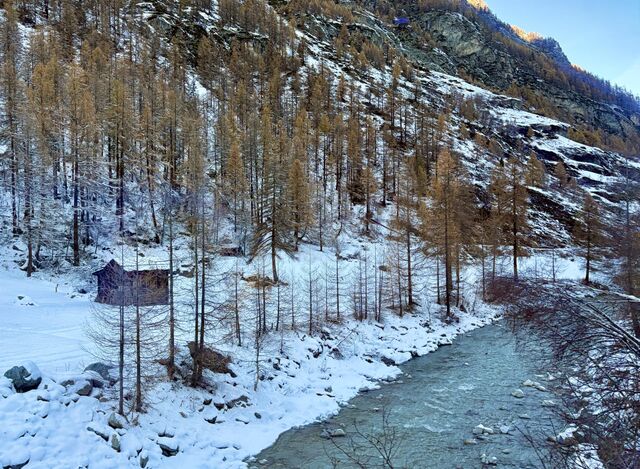
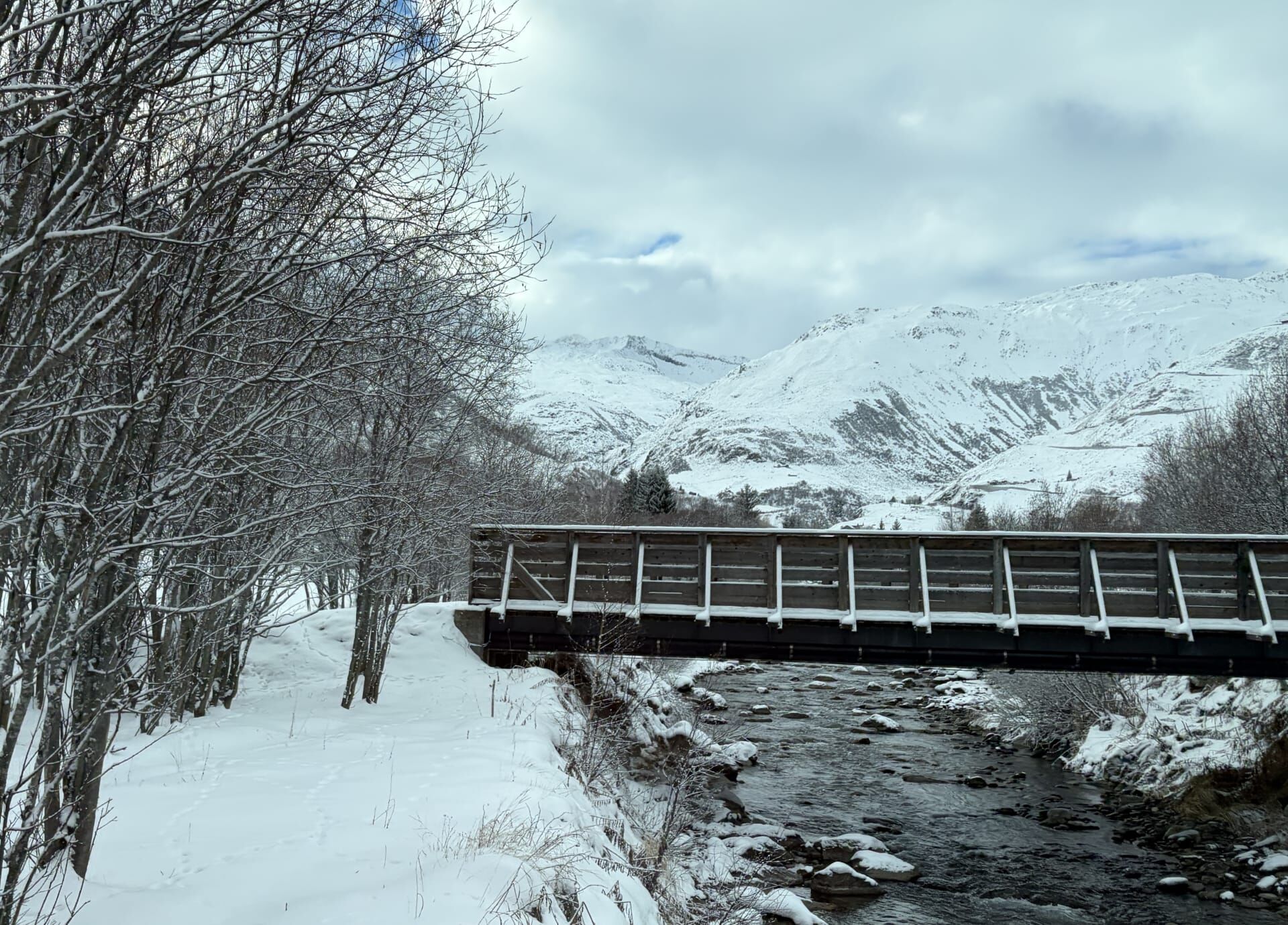
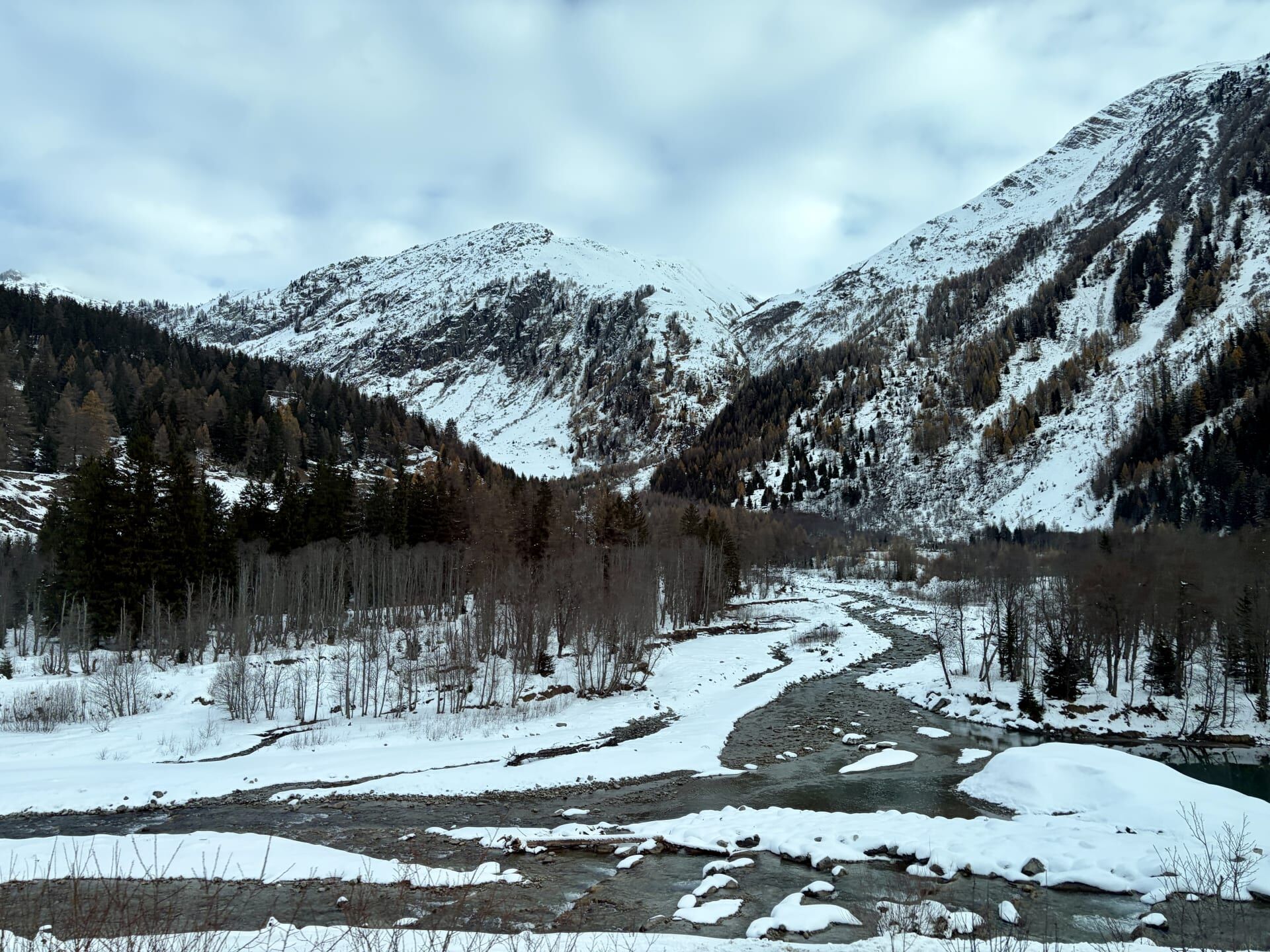
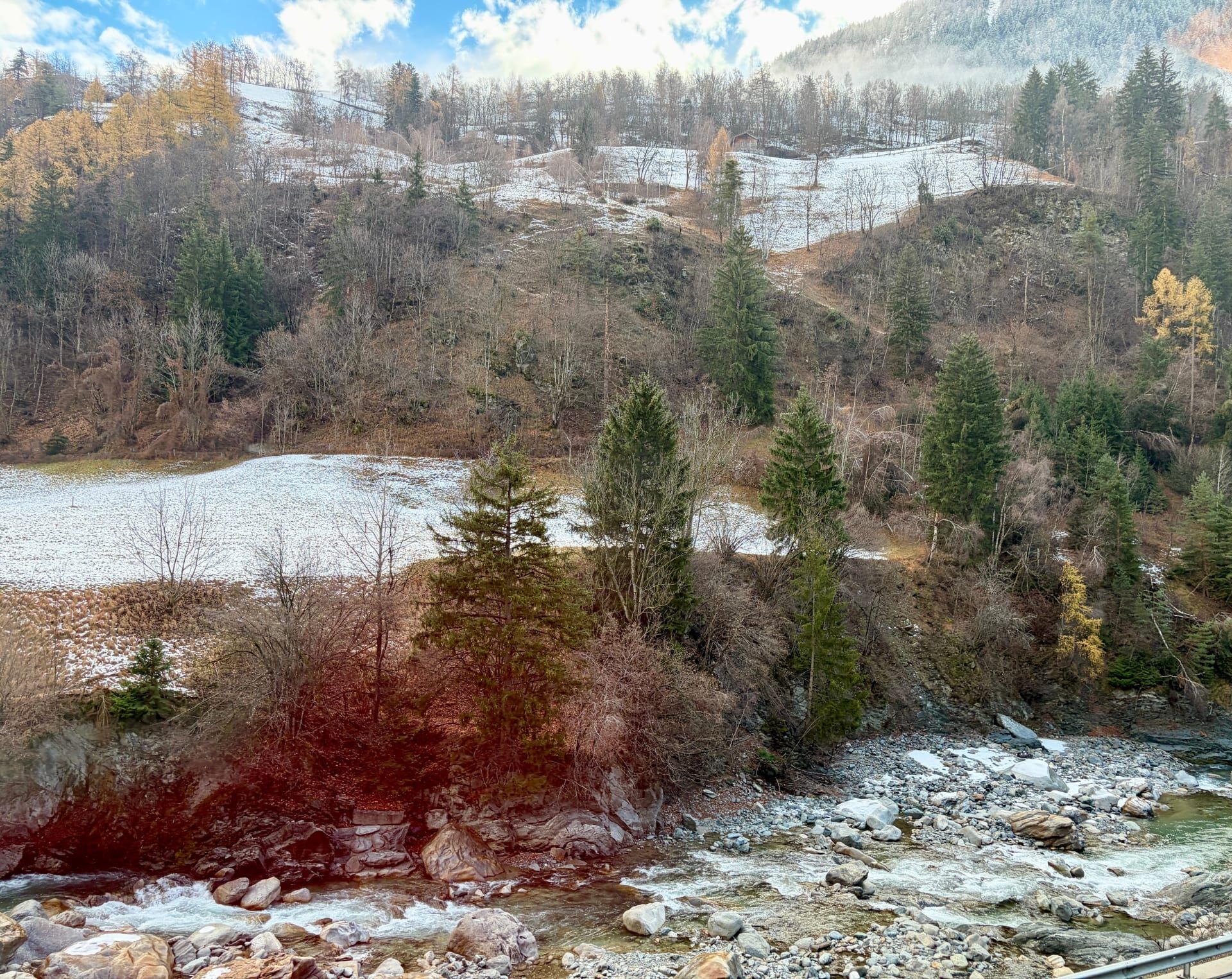
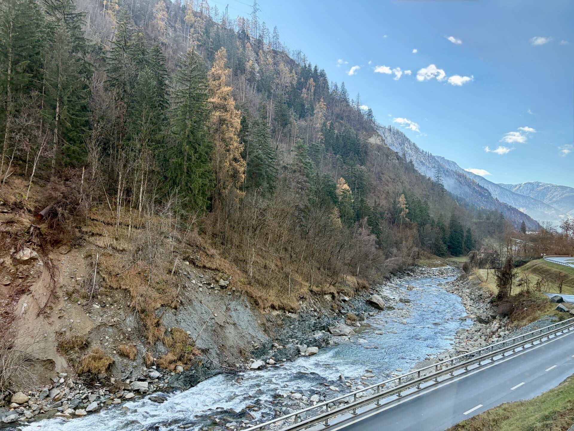
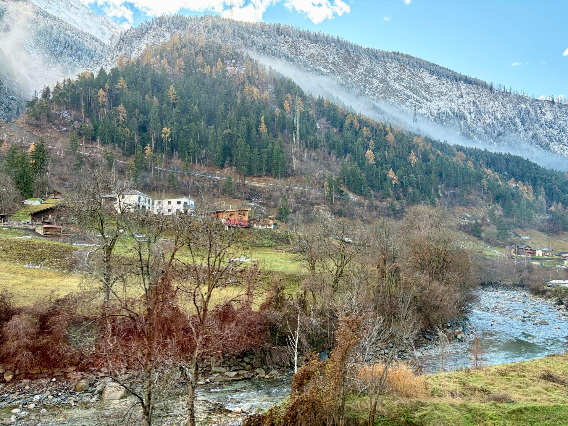
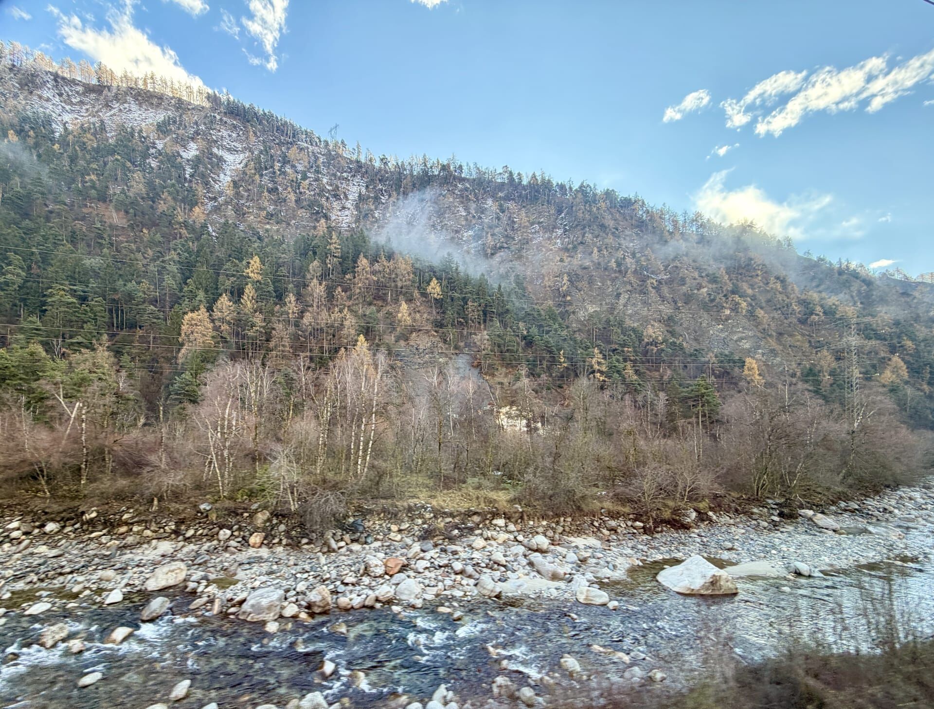
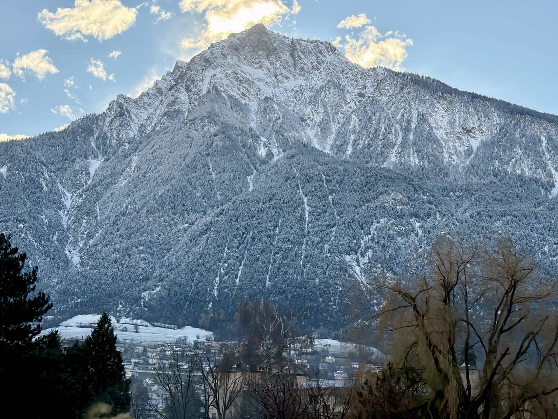
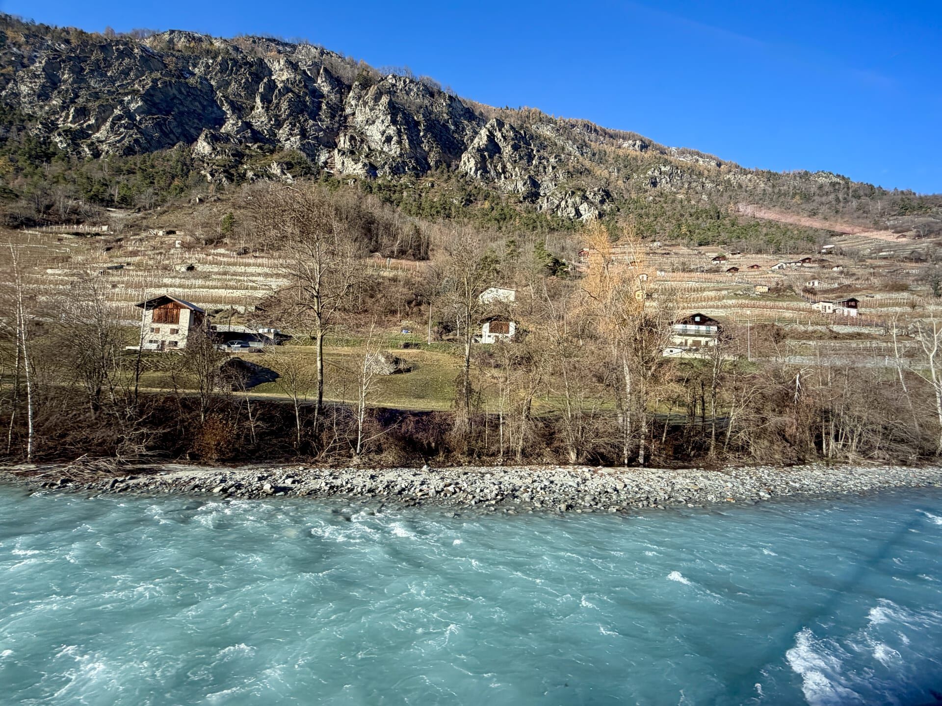
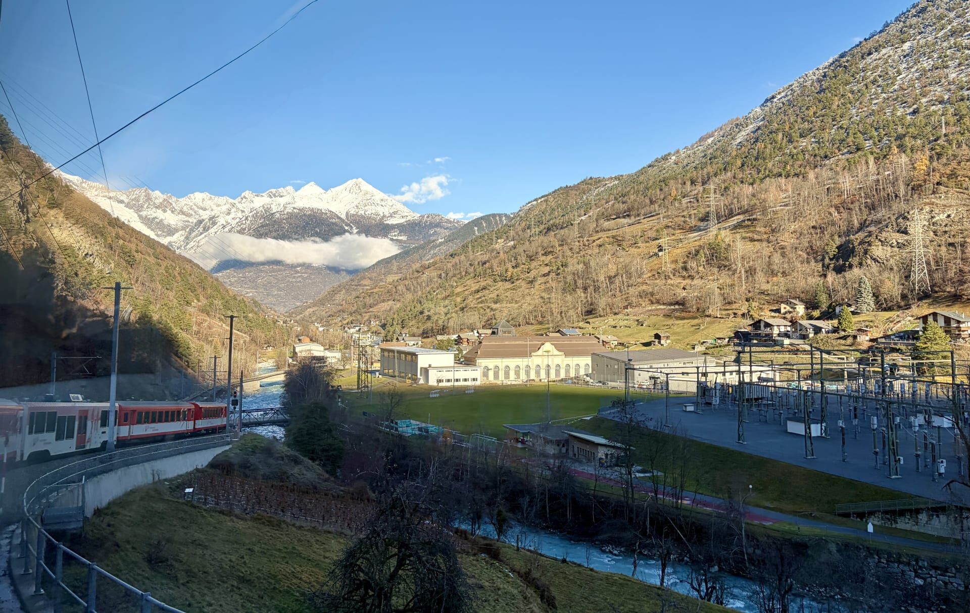
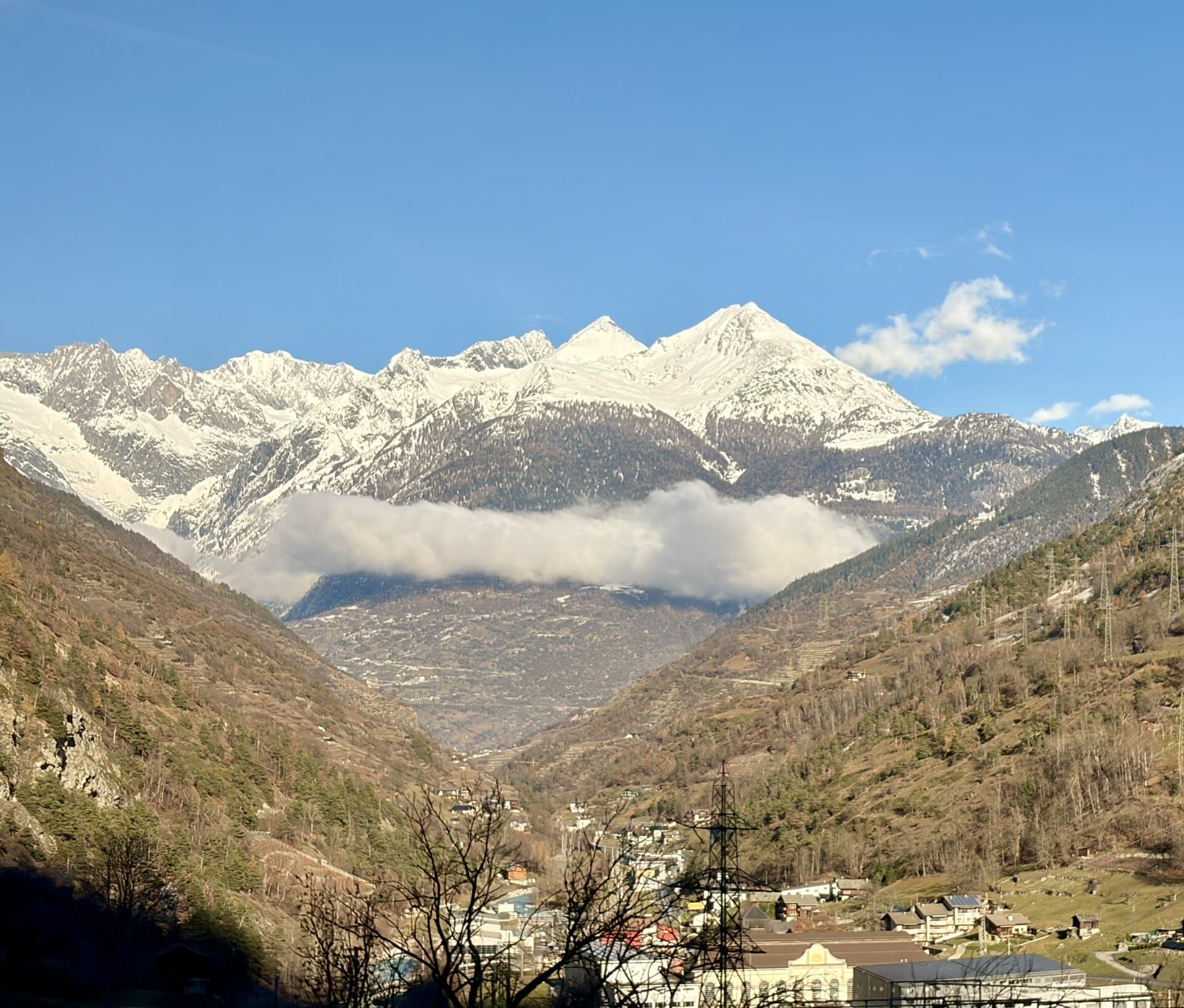
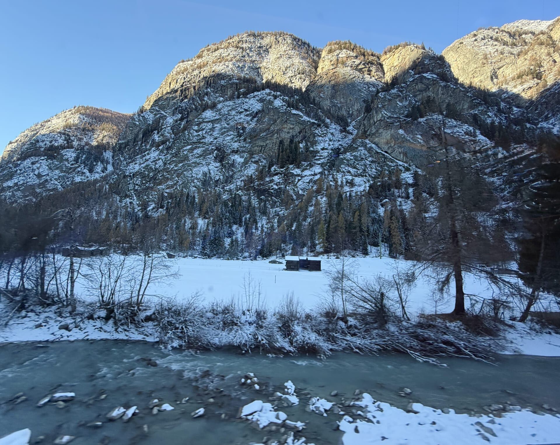
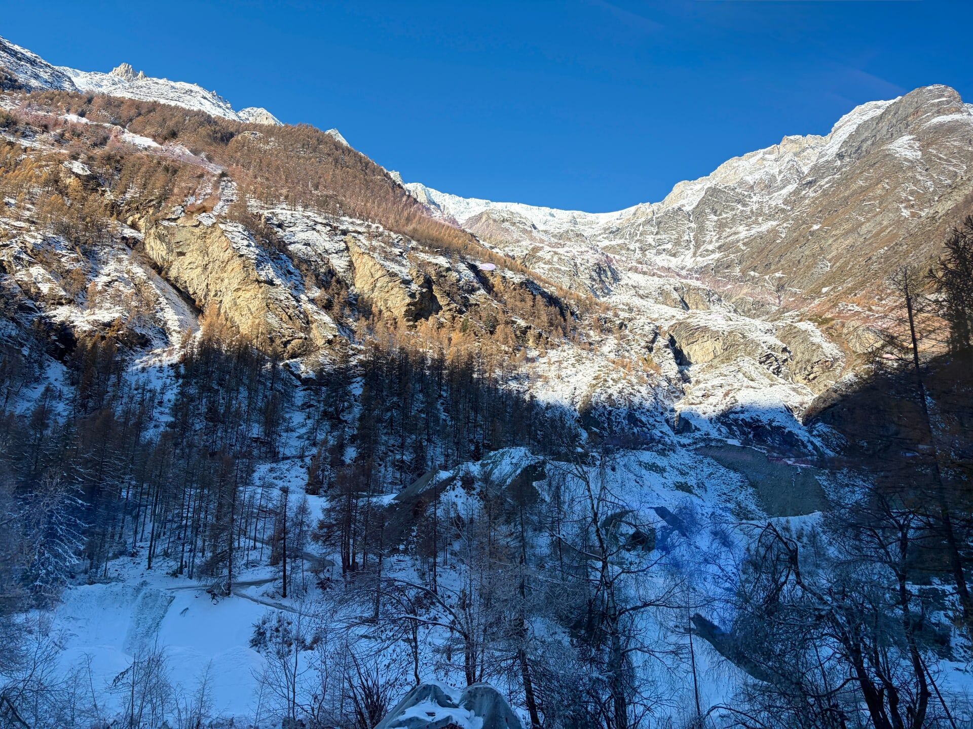
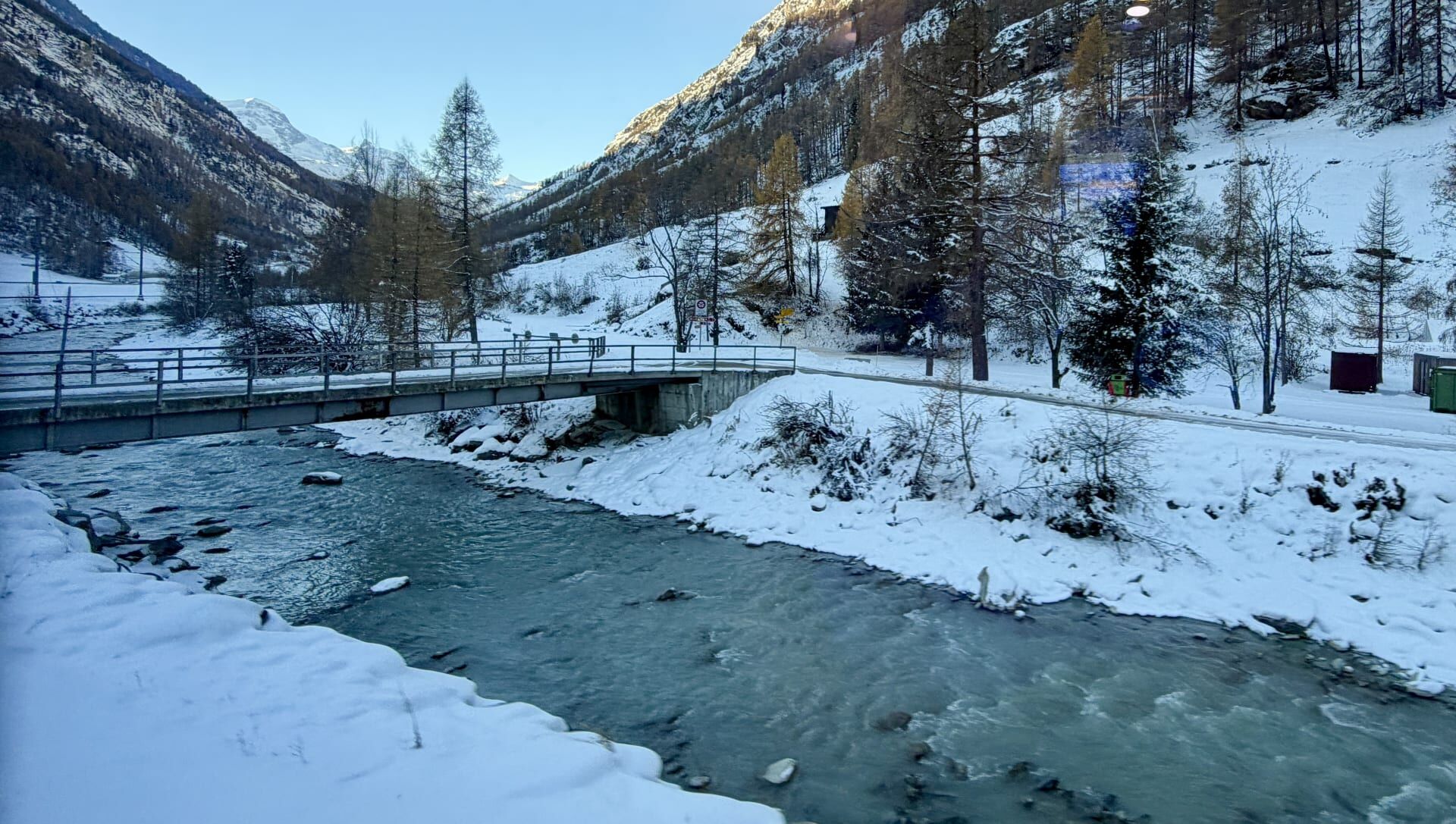
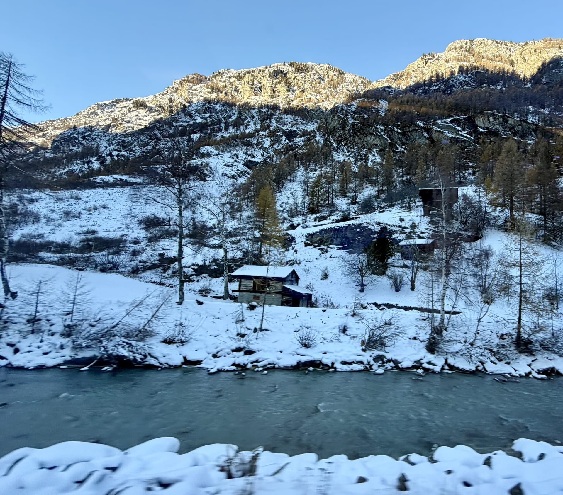
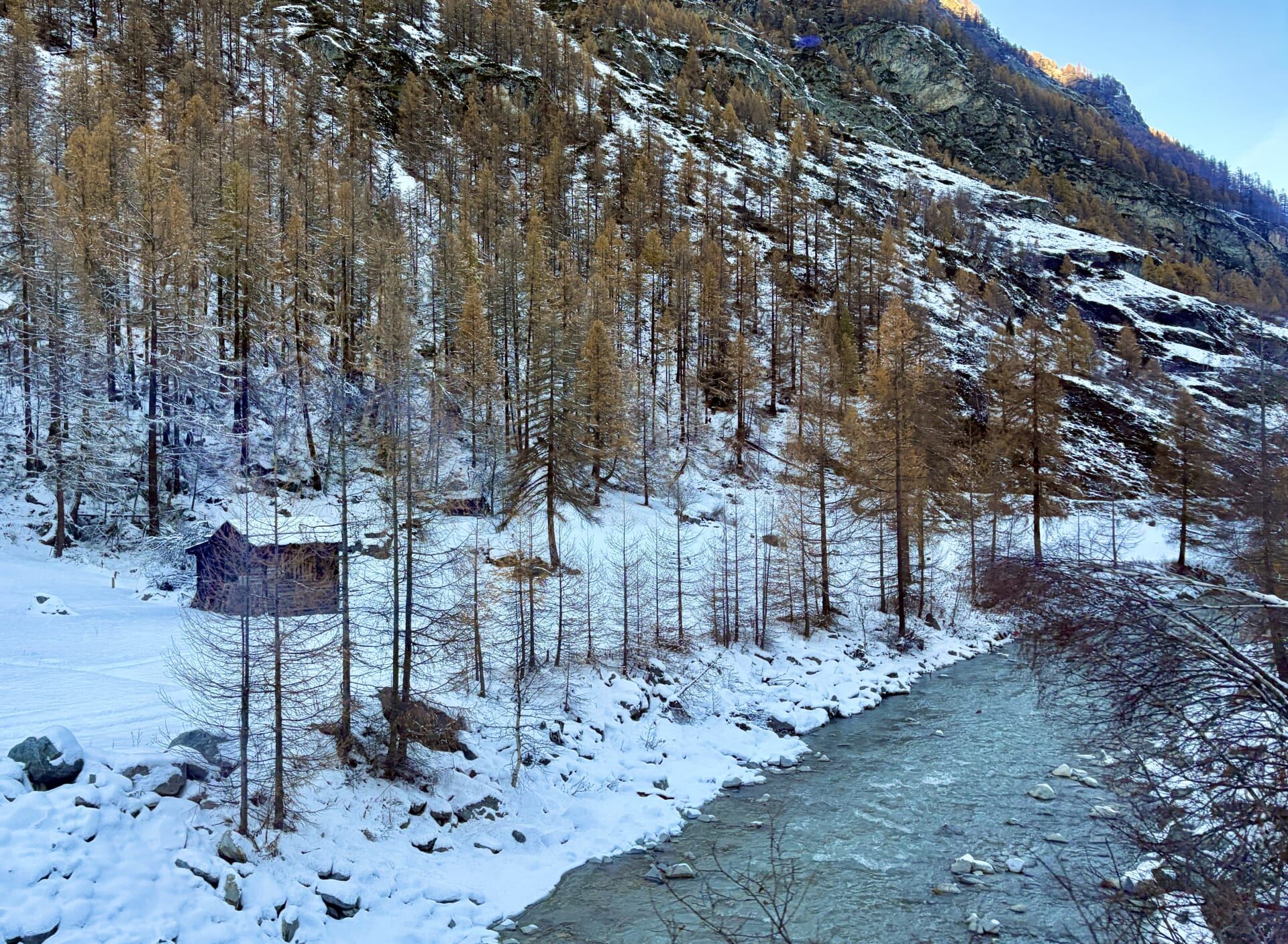
The icy blue-white waters of the Vispa, fed by glacier water, run alongside the railway all the way to Zermatt. Towering rock walls and what my guidebook identified as Europe’s highest vineyards rose above the railway.20
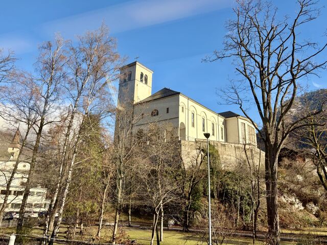
St. Martin's Church, Visp, constructed mid-17th Century
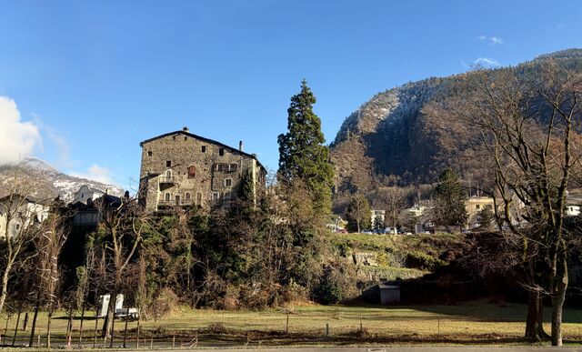
Meierturm, the oldest building in Visp, constructed 12th Century
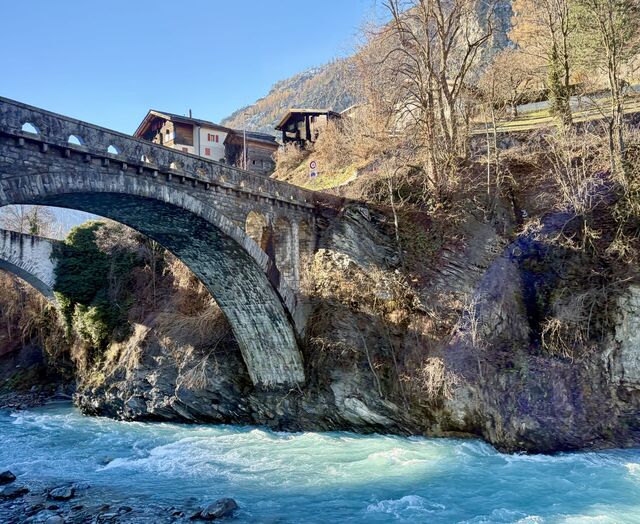
Travelling along the Vispa
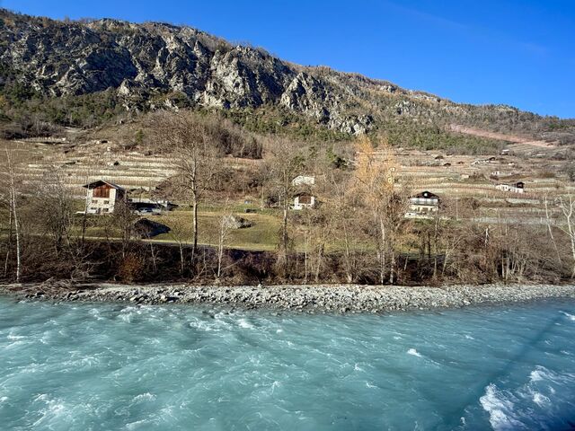
Travelling along the Vispa
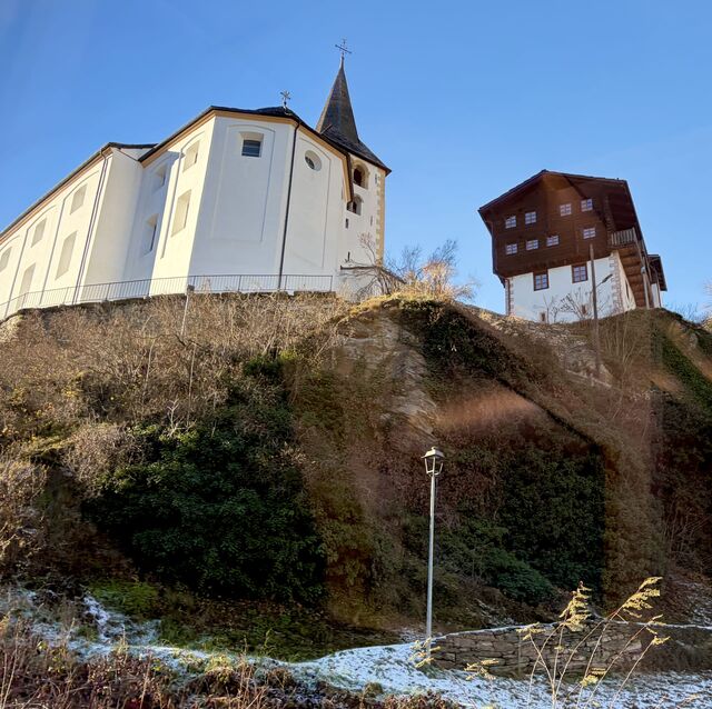
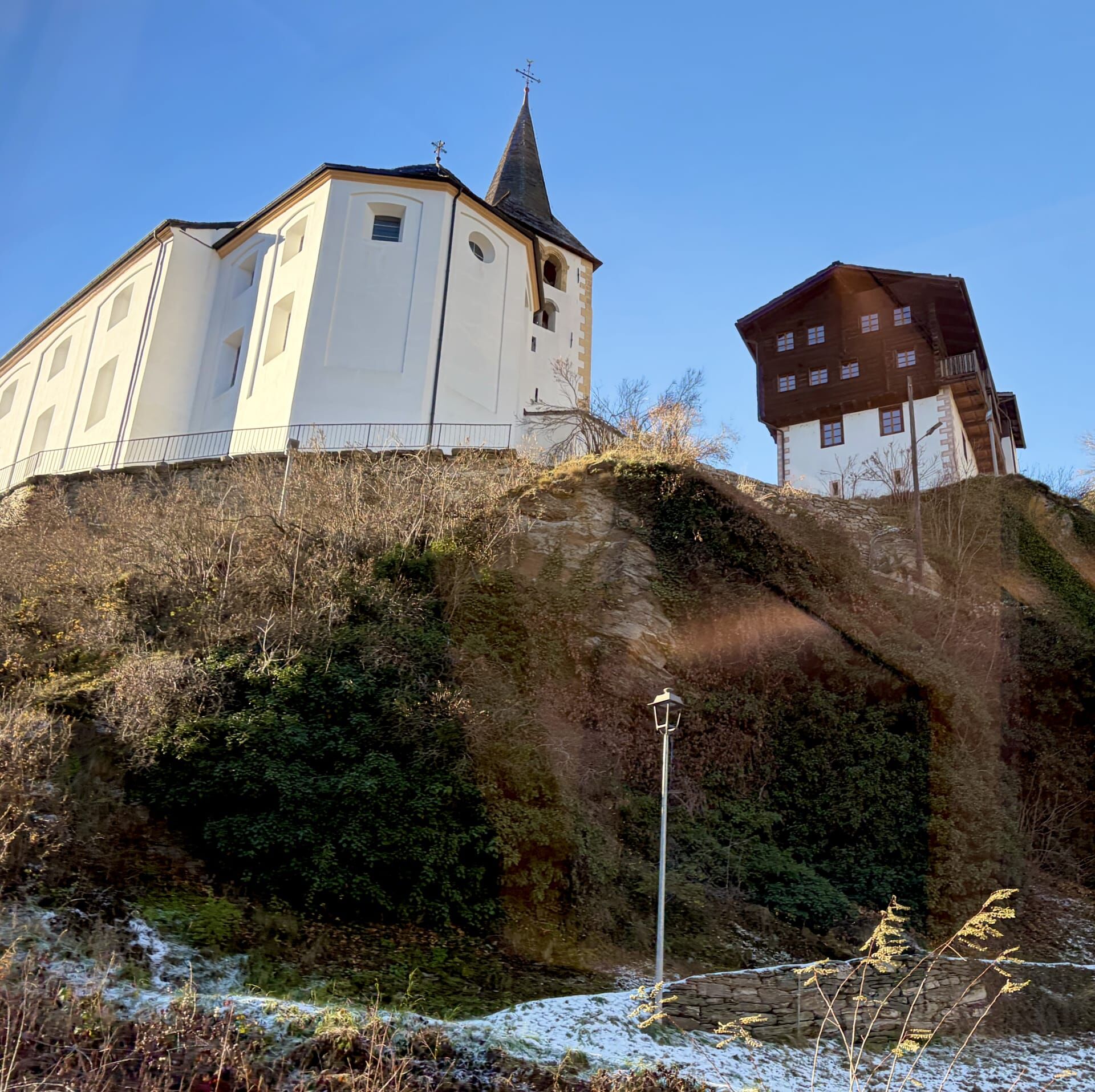
Parish Church, Stalden, constructed 1777
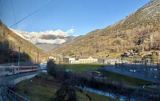
The train travelling around a bend in Stalden
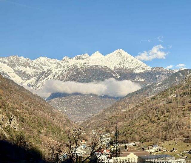
View from Stalden
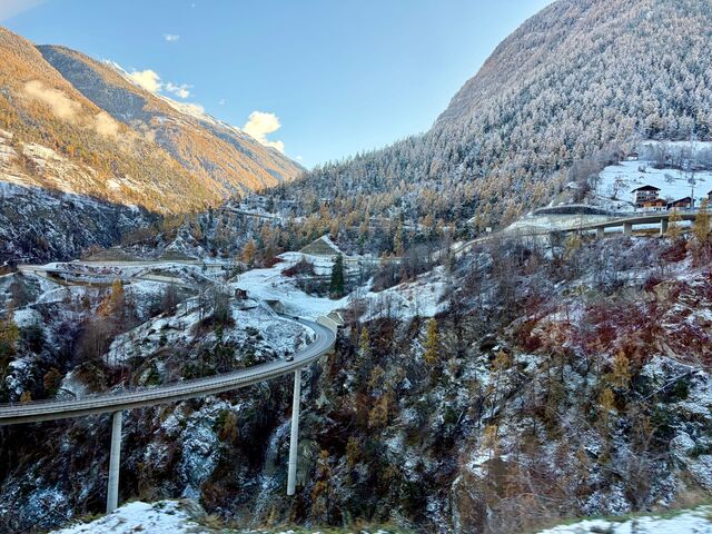
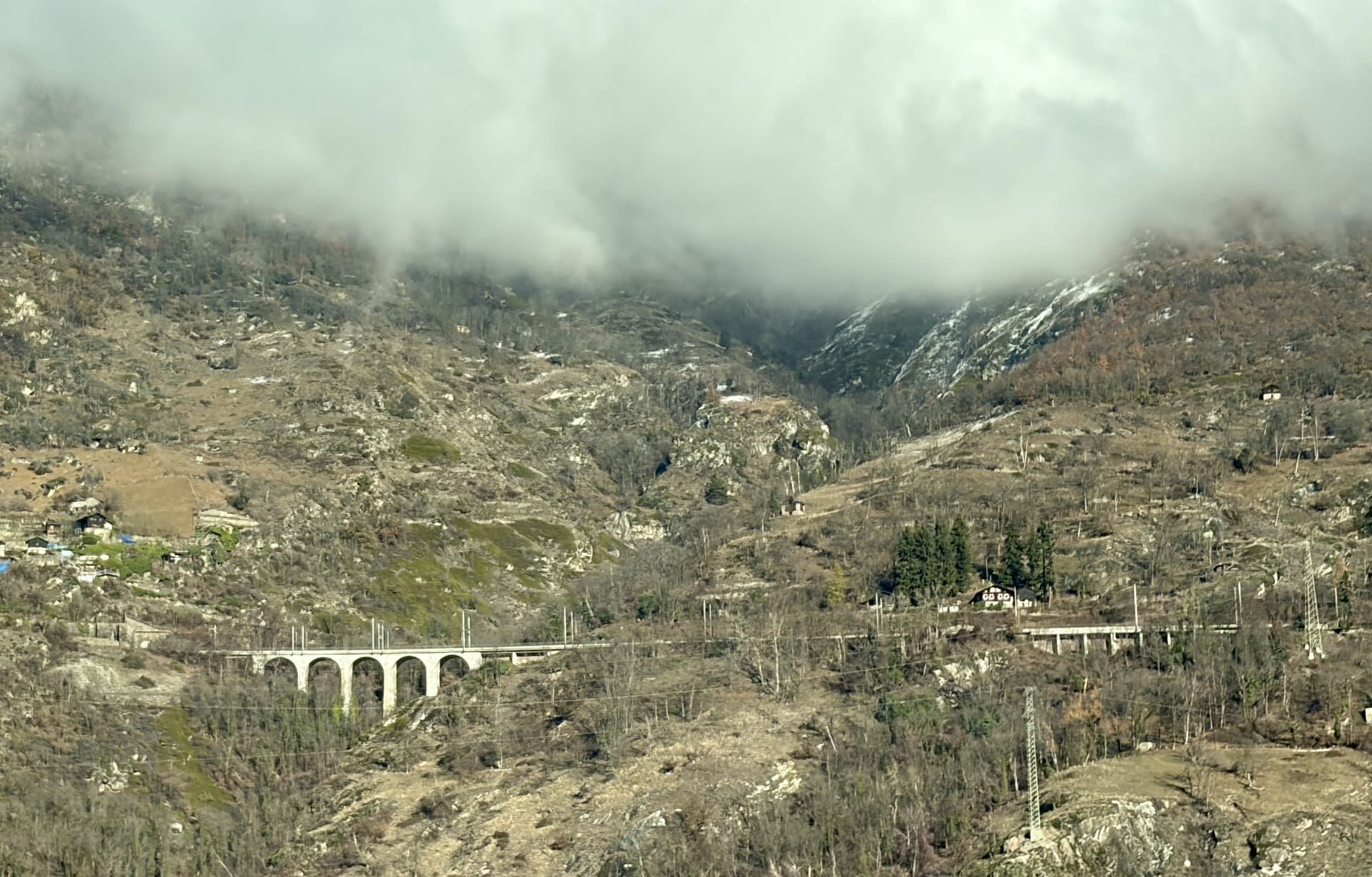
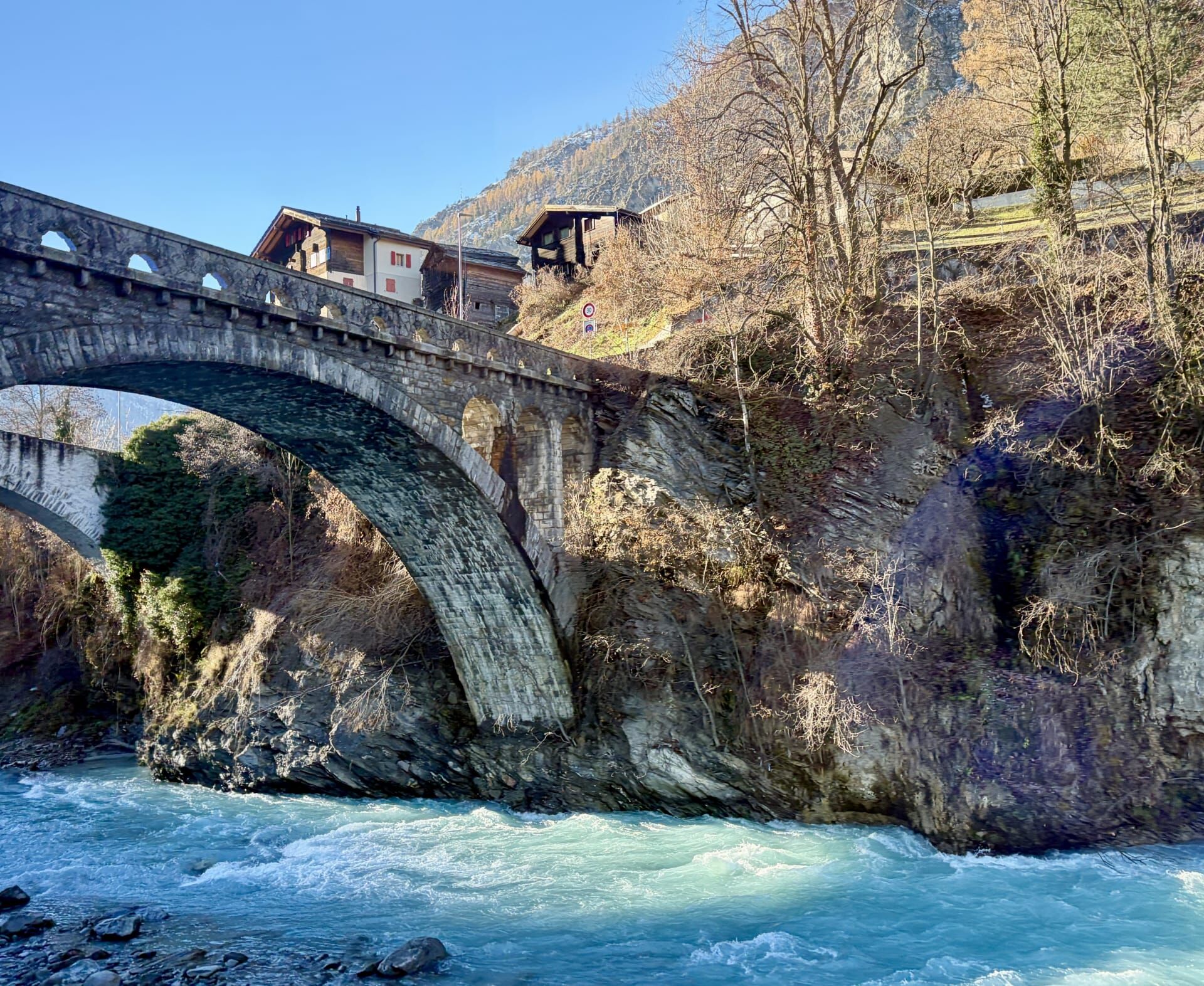
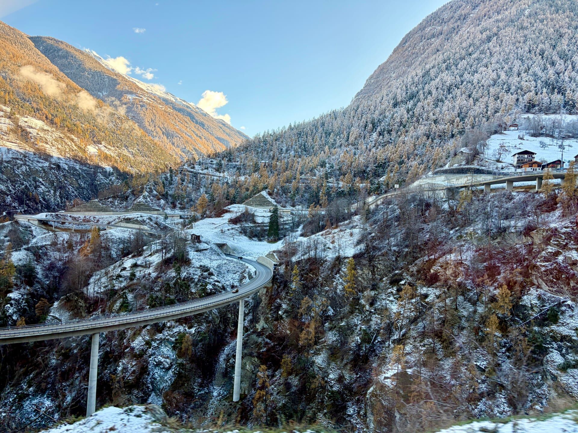
Chinegga Viaduct, Stalden, which crosses the Matter Vispa
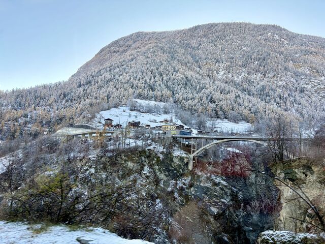
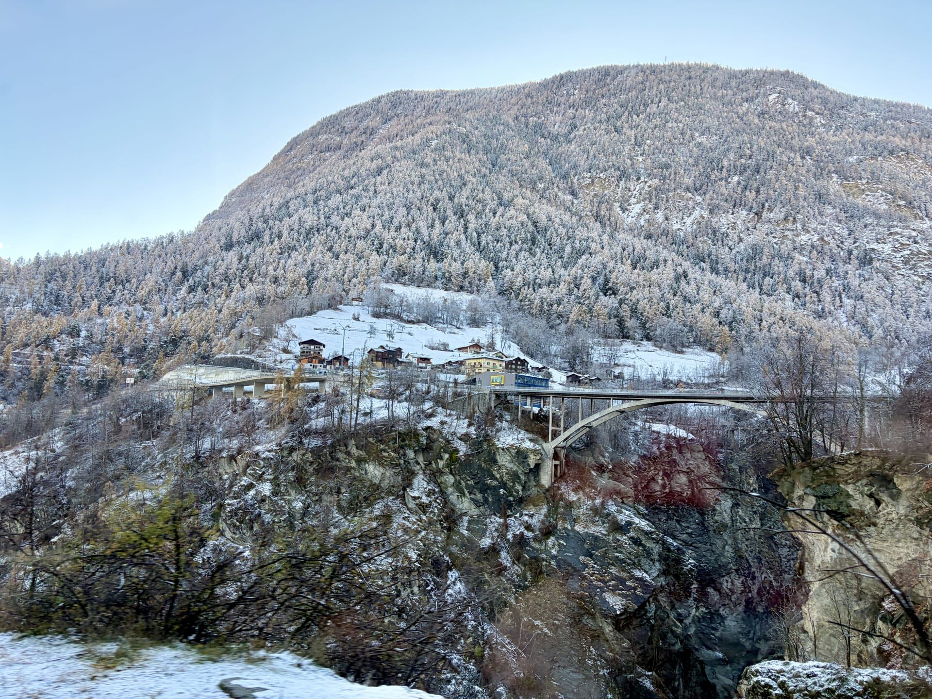
Killerhof Bridge, Stalden
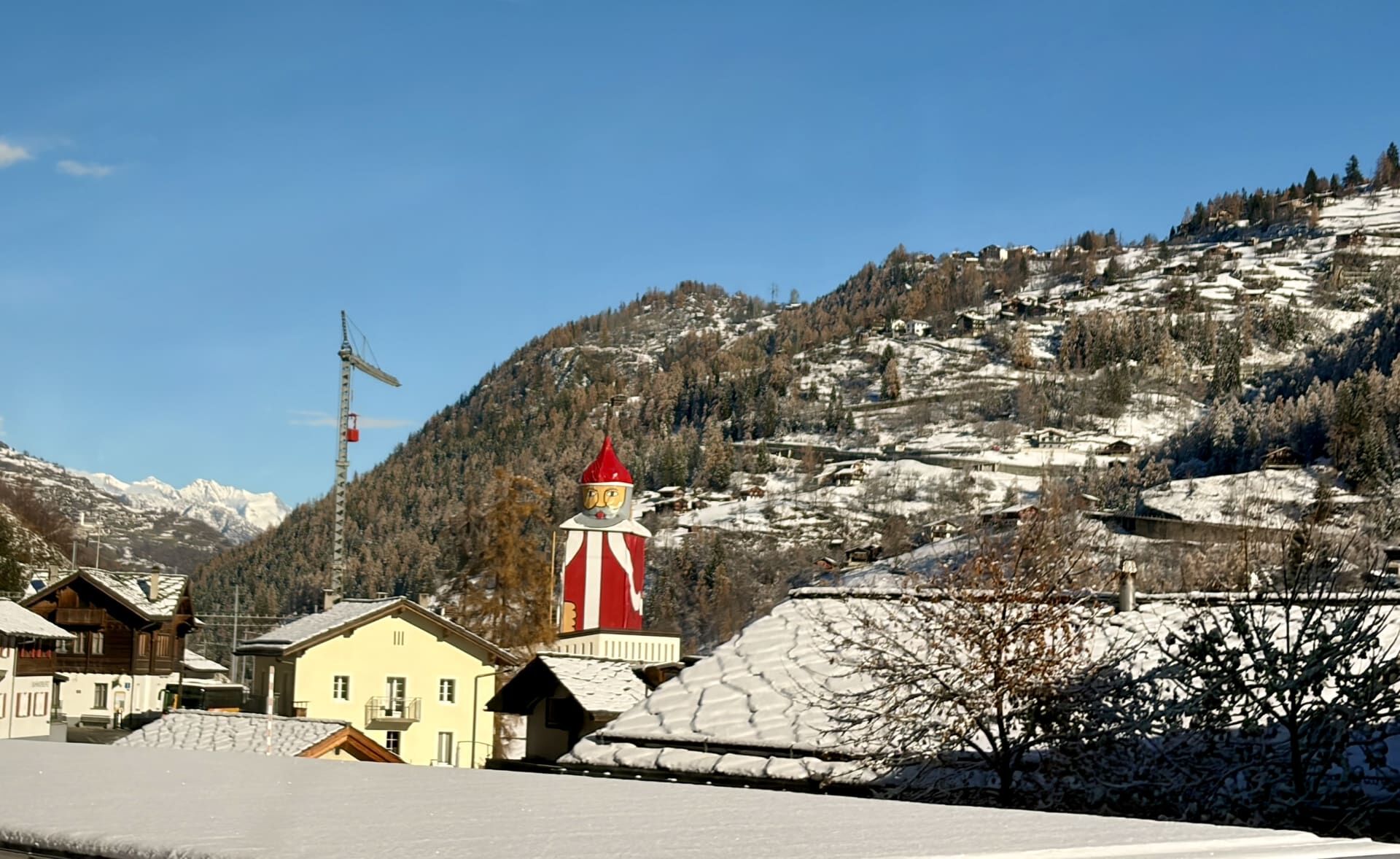
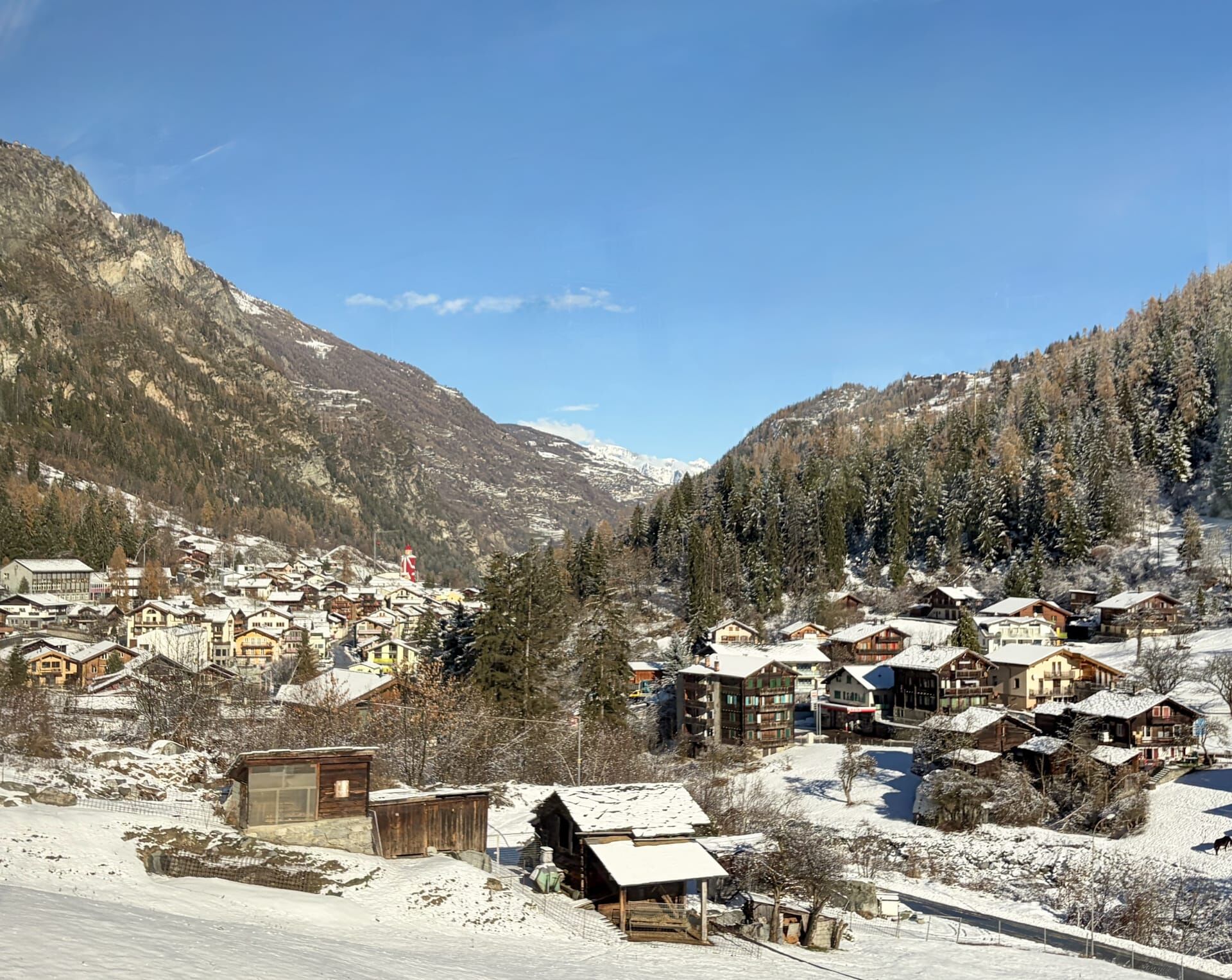
We then passed the St Nicholas Parish Church in the village of St Niklaus. I had been looking forward to seeing its distinctive onion dome from the train, but was disappointed to discover that the church’s tall medieval bell tower had been dressed up as the world’s largest Santa Claus. The onion dome had become Santa’s head. I thought it was rather tacky and would have preferred to see the actual tower and dome. My guidebook informed me that the valley in which the village of St Niklaus lies is so narrow, and its walls so steep, that the village receives no direct sunlight during the winter months.21
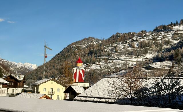
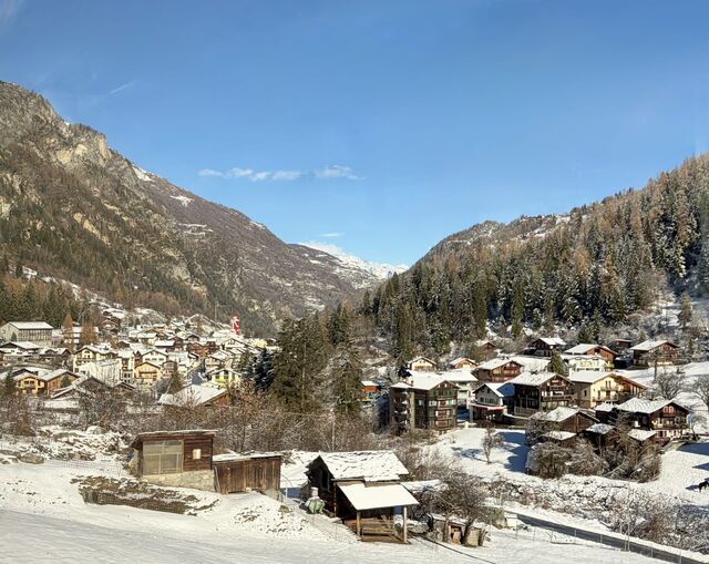
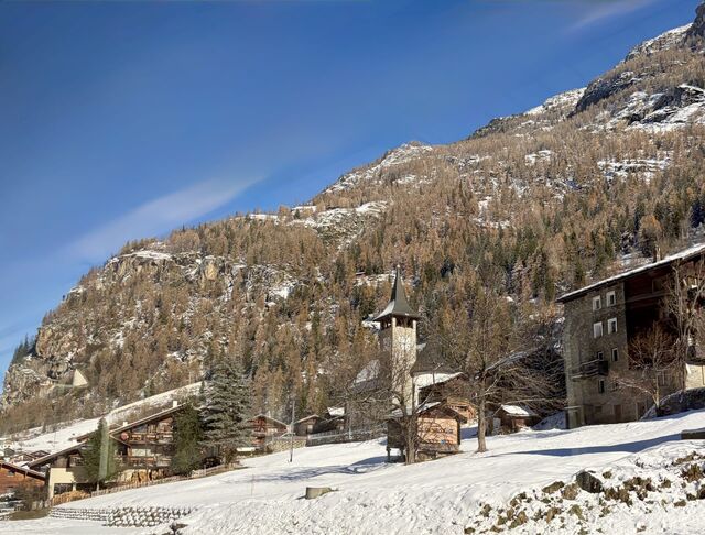
We then passed the village of Randa which my guidebook described as having been damaged by glacial slides on many occasions.22
Zermatt
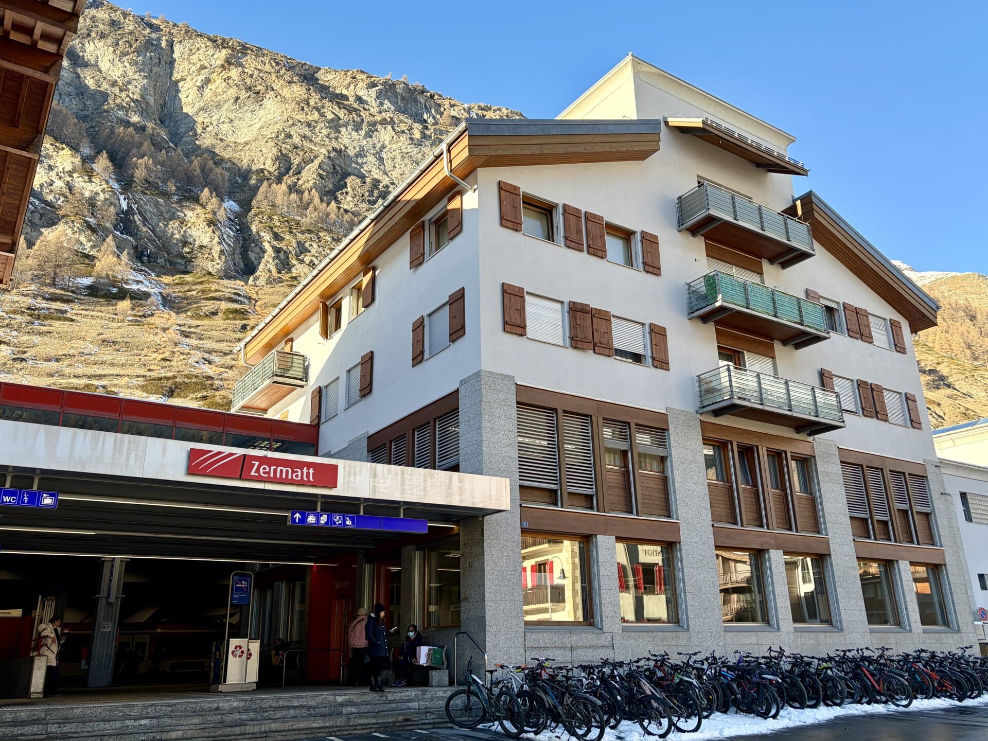
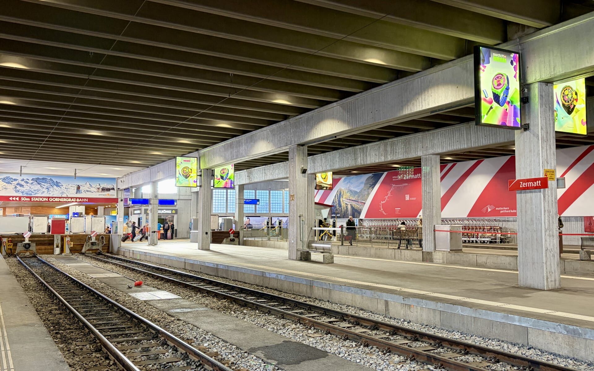
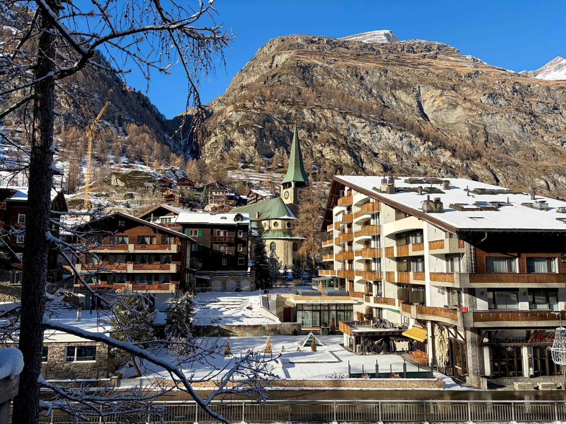
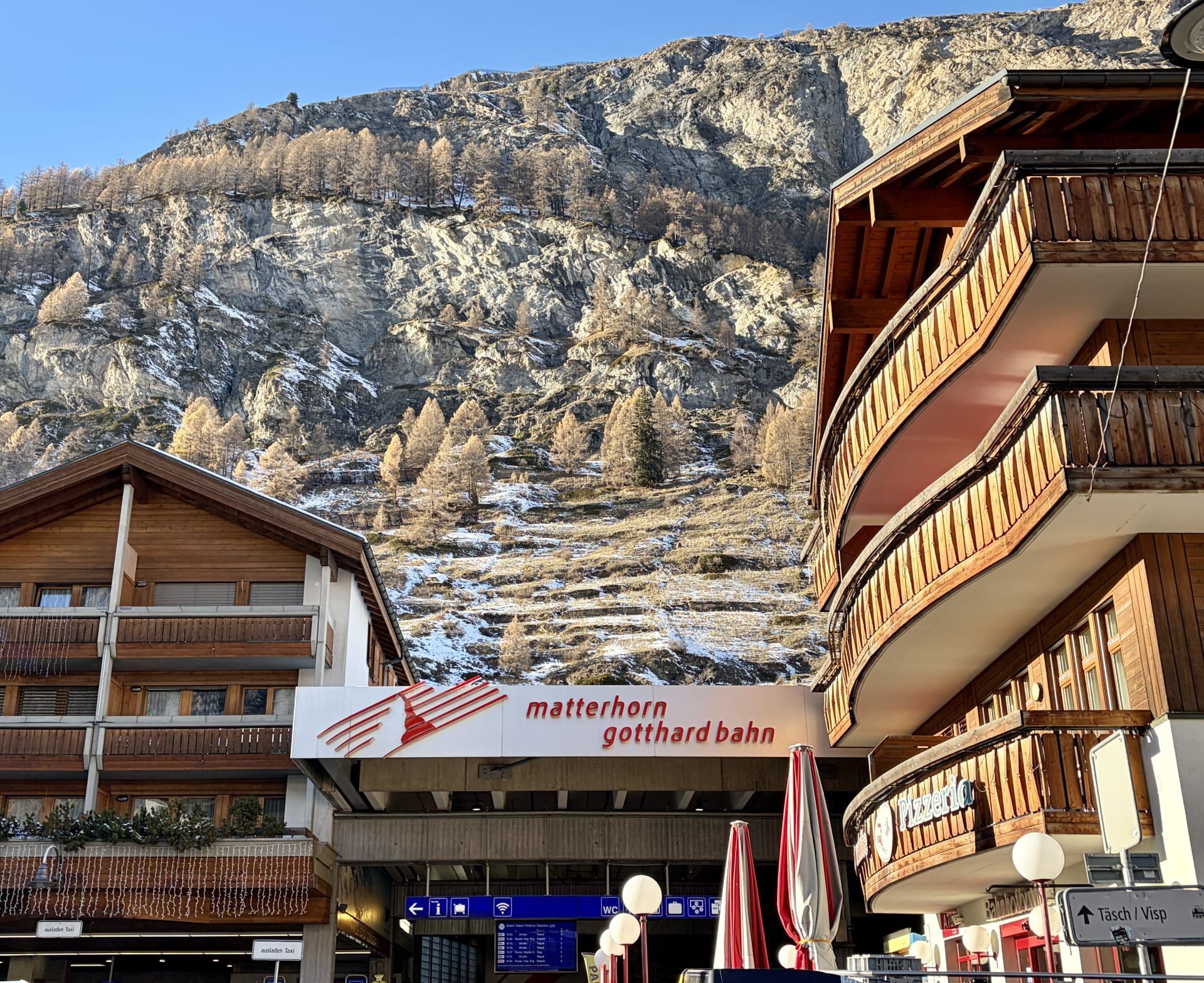
After a spectacular 8 hour journey, the train pulled into Zermatt.
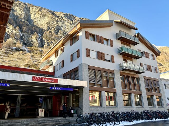
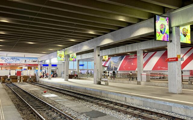
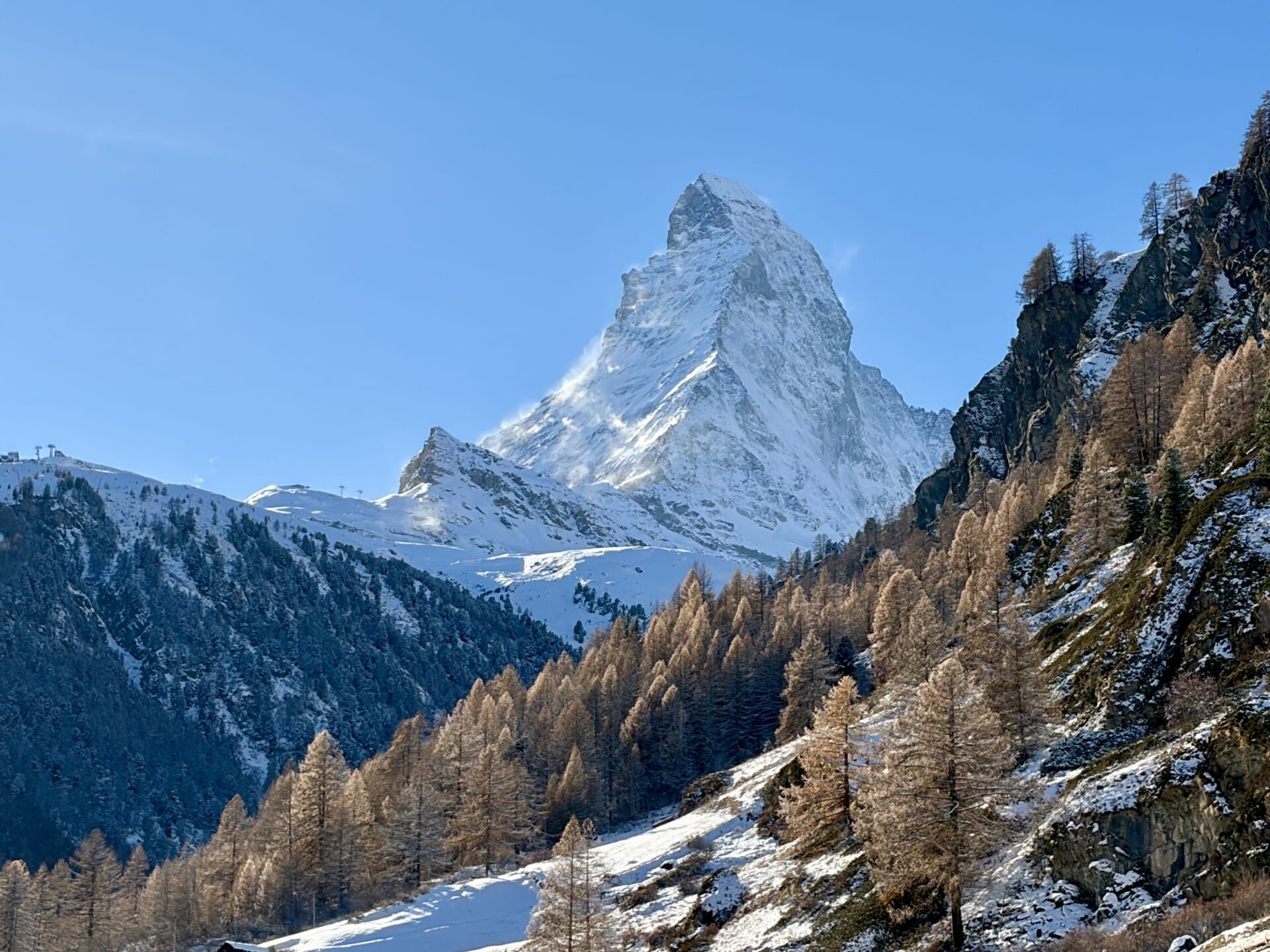
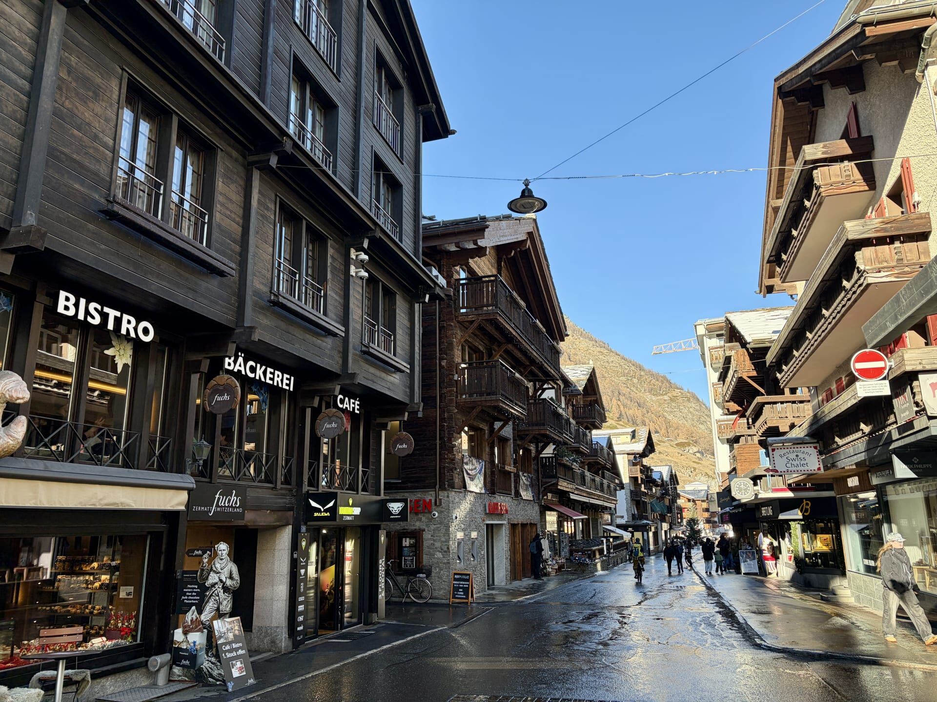
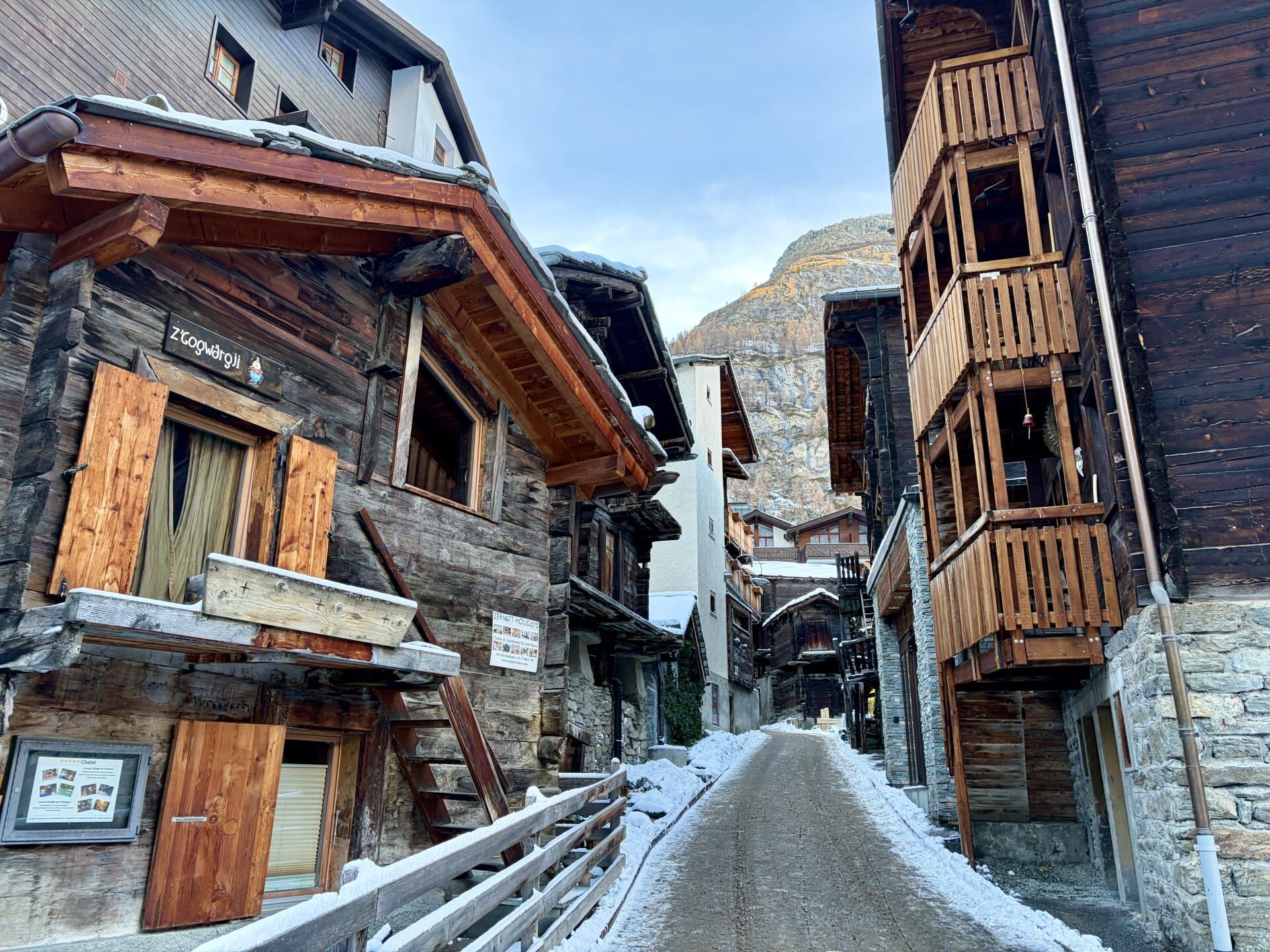
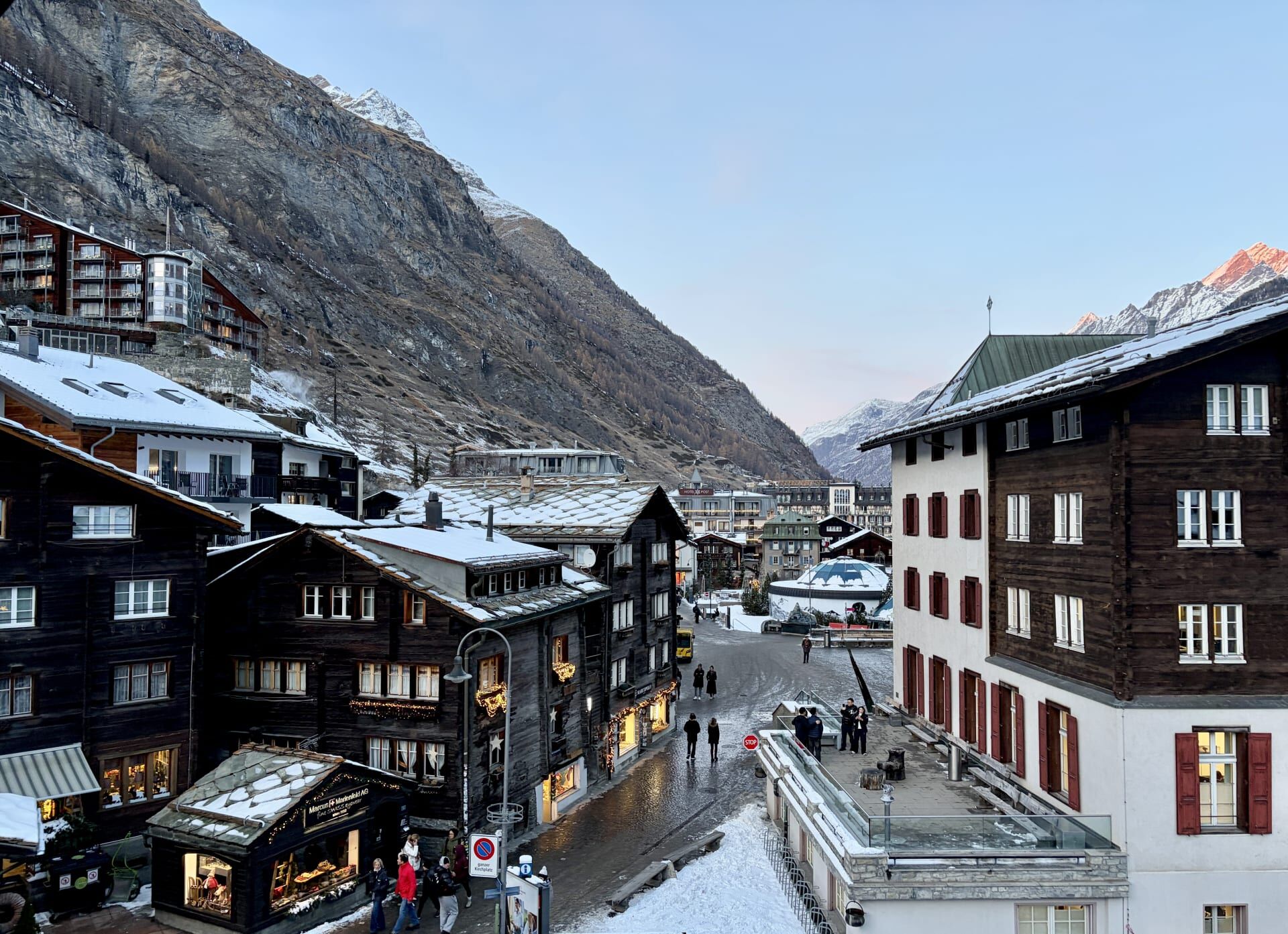
In the 1880s, when Zermatt could be reached only by mule track, the village attracted around 12,000 visitors each year. Visitor numbers increased rapidly with the arrival of the railway in 1891. A year-round train service then became possible after the construction of avalanche galleries which allowed for a continuous service through the winter months.23 Zermatt’s fame is due to the Matterhorn. My guidebook informed me that Winston Churchill is among the many climbers to have visited Zermatt over the years.24
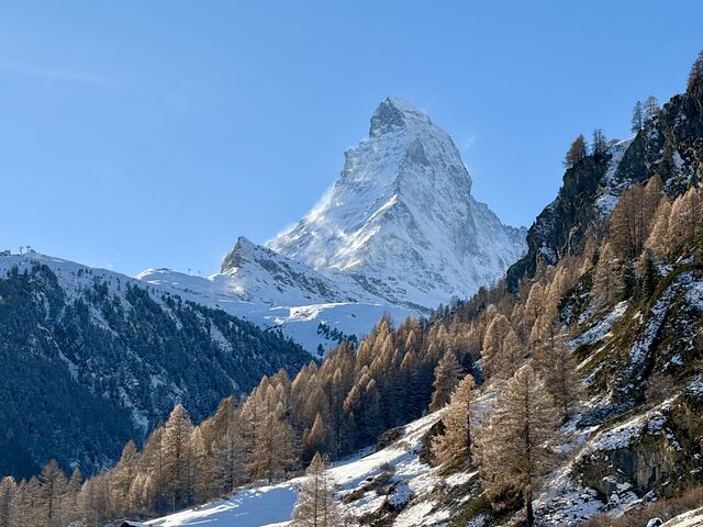
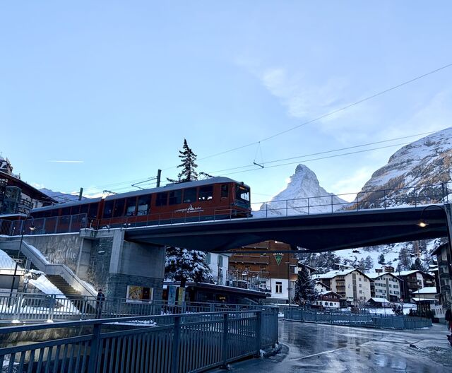
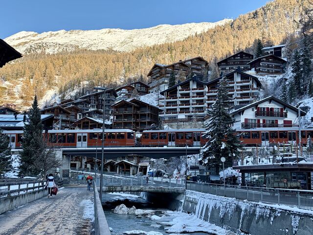
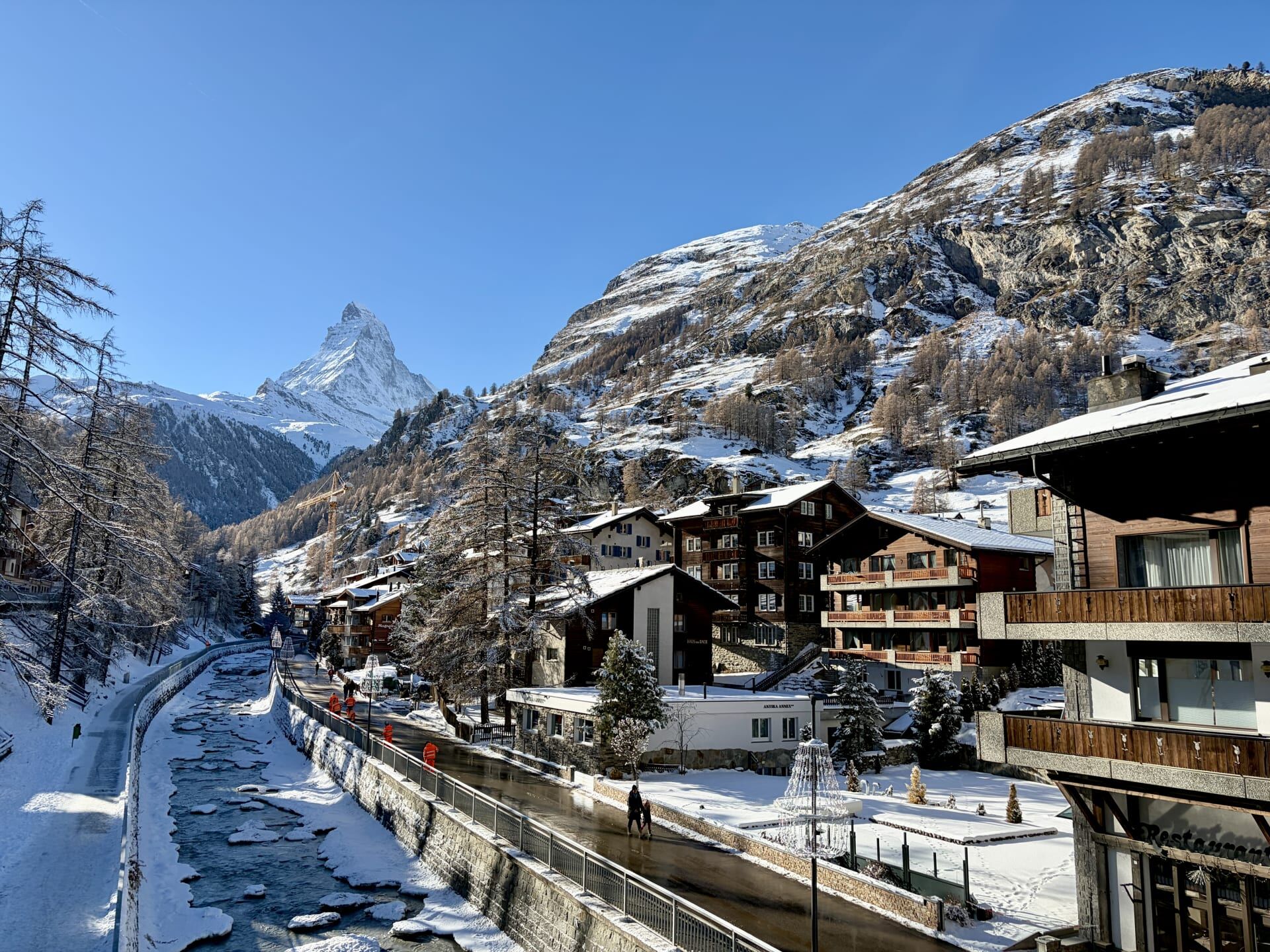
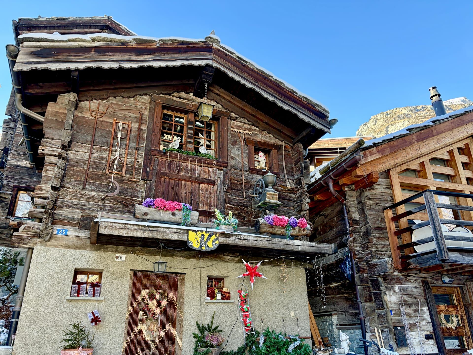
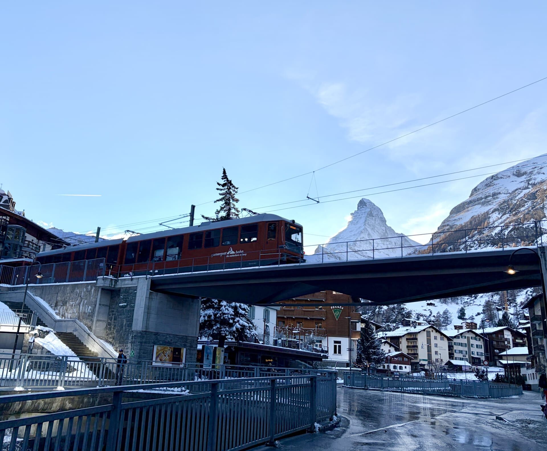
I was fortunate to enjoy a particularly sunny day during my visit, with temperatures around 10 degrees Celsius above the December average. This good weather meant that I had excellent views of the Matterhorn throughout the afternoon and again the following morning. However, despite its spectacular mountain scenery, I have to say that I wasn’t particularly taken with Zermatt. I’m not entirely sure why, but it may have something to do with how busy and touristy the village feels. That said, Zermatt still retains a definite alpine charm, with its traditional chalets and the exclusion of motor vehicles from the village (although I did find the many small electric vehicles carrying luggage between the railway station and hotels quite annoying).
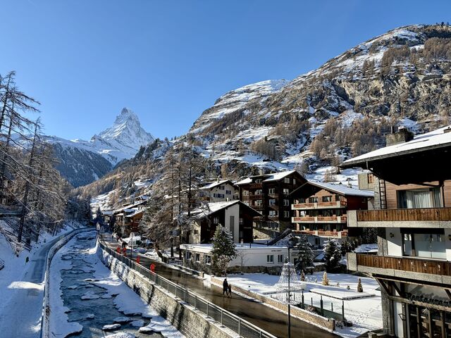
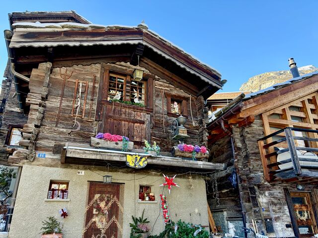
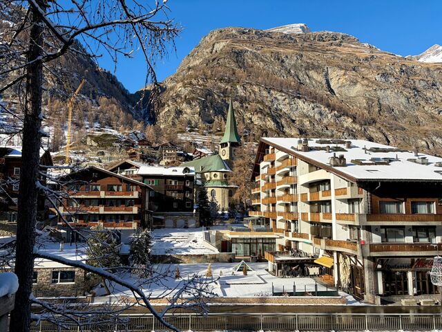
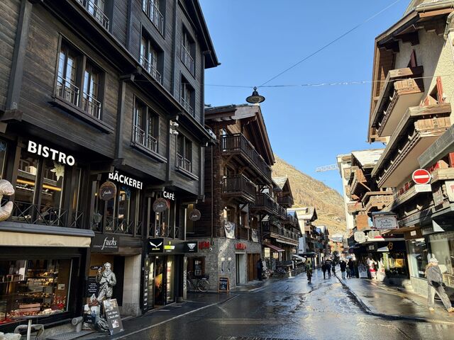
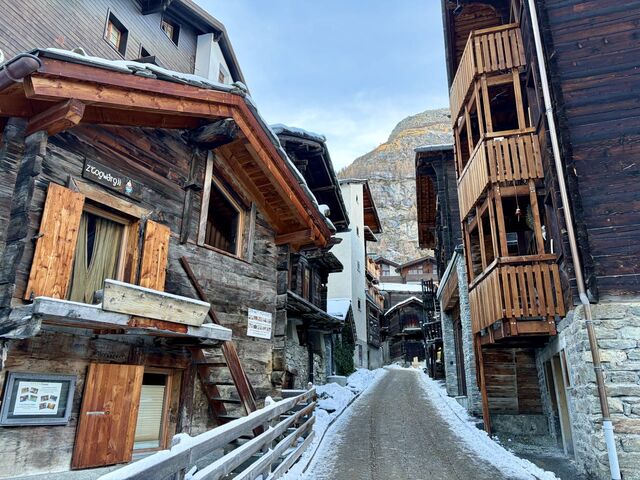
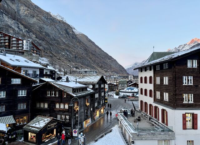
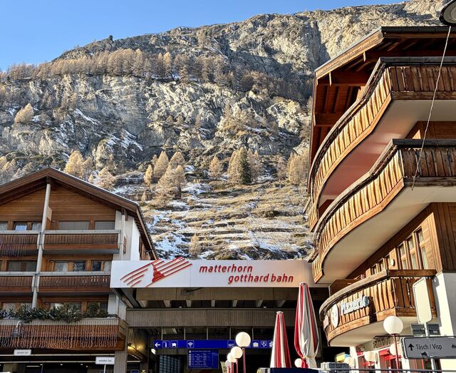
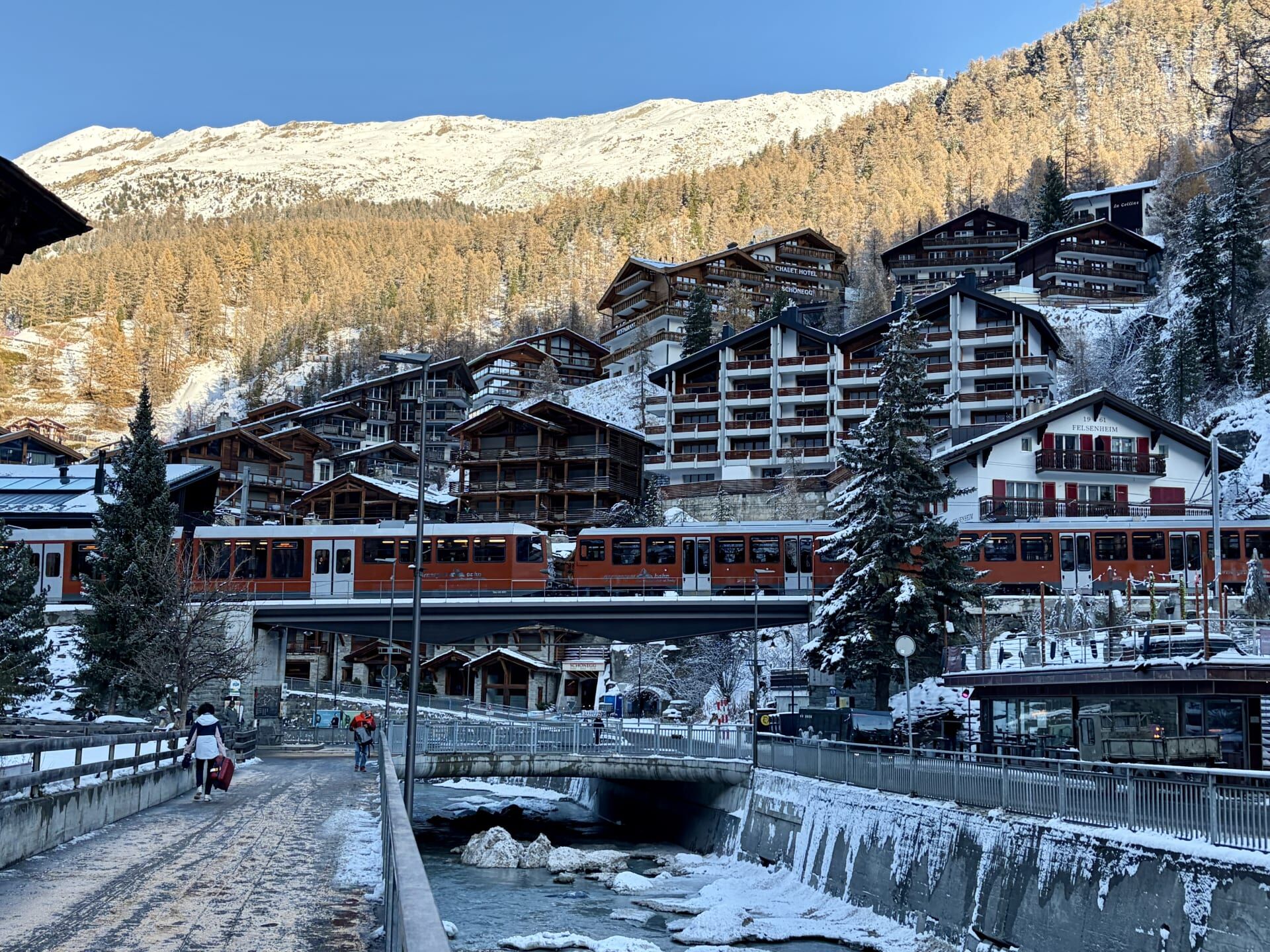
From Zermatt, visitors can also take the Gornergrat Railway, which climbs high into the mountains and apparently offers spectacular views of the Matterhorn. However, tickets are very expensive and, despite my love of railways, I opted not to take this trip. Over time, I’ve found that I am generally more interested in regular railway journeys and the stations, villages, and changing scenery along the way, rather than mountain railways. I did, however, enjoy photographing the Gornergrat Railway trains as they passed through Zermatt.
Tim Richards, Ultimate Train Journeys World (Hardie Grant Explore, 2021) 2. ↩︎
Ibid ↩︎
Max Wade Matthews, The World’s Great Railway Journeys (Anness Publishing Ltd, 2011) 102. ↩︎
Jean-Baptiste Bonaventure, See the World by Train (Greenfinch, 2025) 82. ↩︎
Anthony Lambert, Switzerland: A guide to exploring the country by public transport (Brandt Travel Guides, 7th ed, 2023) 352. ↩︎
Graubünden Tourism, ‘Kapelle St. Luzius, Disla’ (online). ↩︎
Robin Neillands, ‘The Glacier Express through Switzerland’ in Train Journeys of the World (The Automobile Association, 1993) 26, 30. ↩︎
Insight Guides, Great Railway Journeys of Europe (APA Publications, 2nd ed, 2019) 195. ↩︎
Richards (n 1) 5. ↩︎
Beatrice Trussardi Foundation, ‘Alpine Utopia: 9/Porta Alpina’ (online, 2023). ↩︎
Richard Deiss, The Destiny Station Beyond the Mountains: Short Stories about 111 Railway Stations in the Alpine Countries (Books on Demand, 2020) 81. ↩︎
Tom Savio, Top Railway Journeys of the World (New Holland Publishers, 2013) 68. ↩︎
Nicky Gardner and Susanne Kries, Europe by Rail: The Definitive Guide (Hidden Europe Publications, 17th ed, 2023) 381. ↩︎
Lambert (n 5) 320. ↩︎
Tower of the Lords of Hospental (Information board). ↩︎
Lambert (n 5) 320. ↩︎
Ibid 319. ↩︎
Ibid. ↩︎
Ibid 318. ↩︎
Ibid 314. ↩︎
Clarence Winchester (ed), Railway Wonders of the World, Volume 2 (Amalgamated Press Limited, 1935) 499. ↩︎
Lambert (n 5) 315. ↩︎
Diccon Bewes, The Best Swiss Train Rides (Helvetiq, 2025) 139. ↩︎
Lambert (n 5) 316. ↩︎